This Short Texas Trail Delivers Jaw-Dropping Canyon Scenery for Barely Any Effort
I have a soft spot for a trail that gives you more than you paid for. Some hikes make you earn every view with miles of switchbacks and a lunch you carry the whole way. Others hand you something enormous almost the moment you start walking.
This one belongs firmly in the second group, and it lives out in far West Texas where the land finally decides to stand up tall.
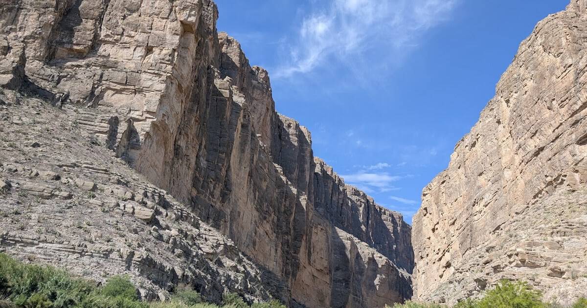
It is a short walk into a cathedral of stone, a slot in the earth where limestone cliffs rise fifteen hundred feet straight off the Rio Grande. The trail is under two miles round trip, and it delivers a payoff most day hikes never come close to.
Here is why this little path is worth pointing your car all the way to the edge of the state.
A Big Payoff for a Small Effort
The trail runs about 1.7 miles out and back, with roughly 250 feet of climbing. Most people finish it in under an hour. That is the whole ask.
And yet the reward is one of the most dramatic sights in Texas. You start on flat river bottom, cross a creek, then climb a short set of stone and concrete steps up the canyon’s south wall.
The stairs are the only real work of the day. Handrails help you through the steepest turns, and the whole climb is over in a few minutes.
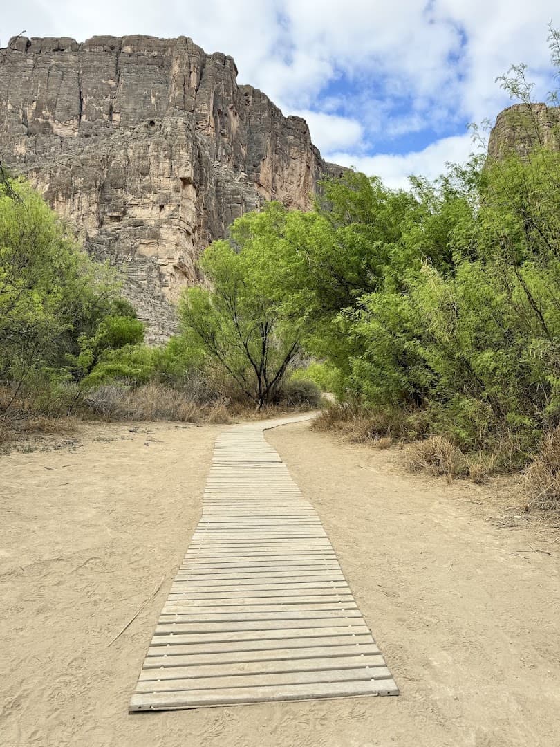
Then the path tips downhill again and drops you onto a paved walkway that runs right along the water, deep between the cliffs. You keep going until the walls squeeze the trail to a stop.
A friend who grew up in the flat part of the state once told me, “I didn’t know Texas could stand up that tall.” That is exactly the feeling this trail sells, and it barely charges you for it.
Where the Walls Close In
The best part is not the trailhead view, striking as it is. It is what happens once you are inside.
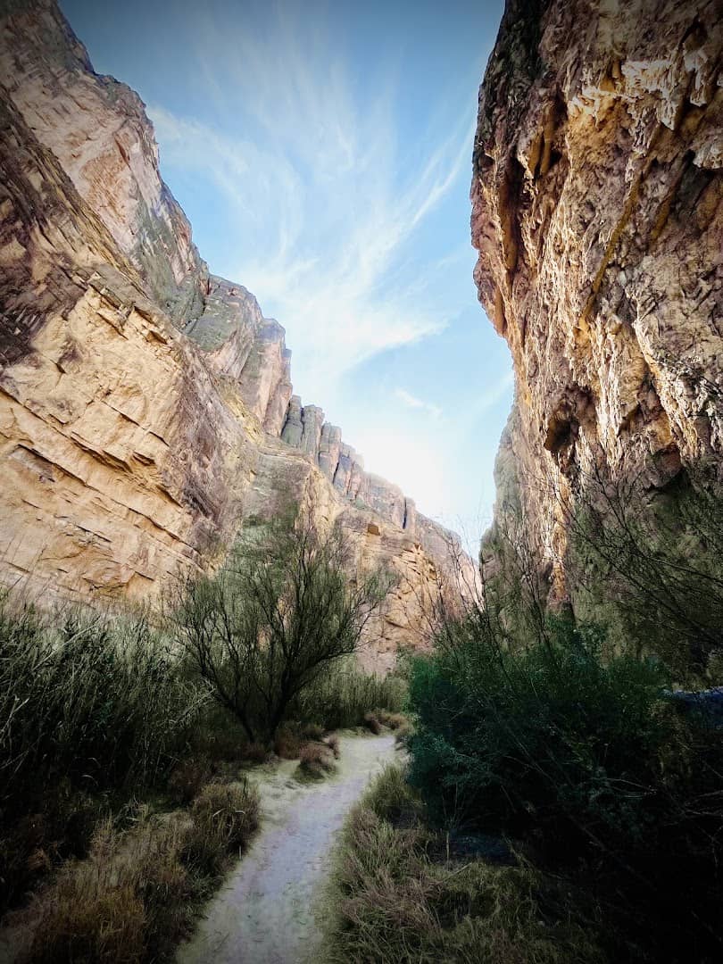
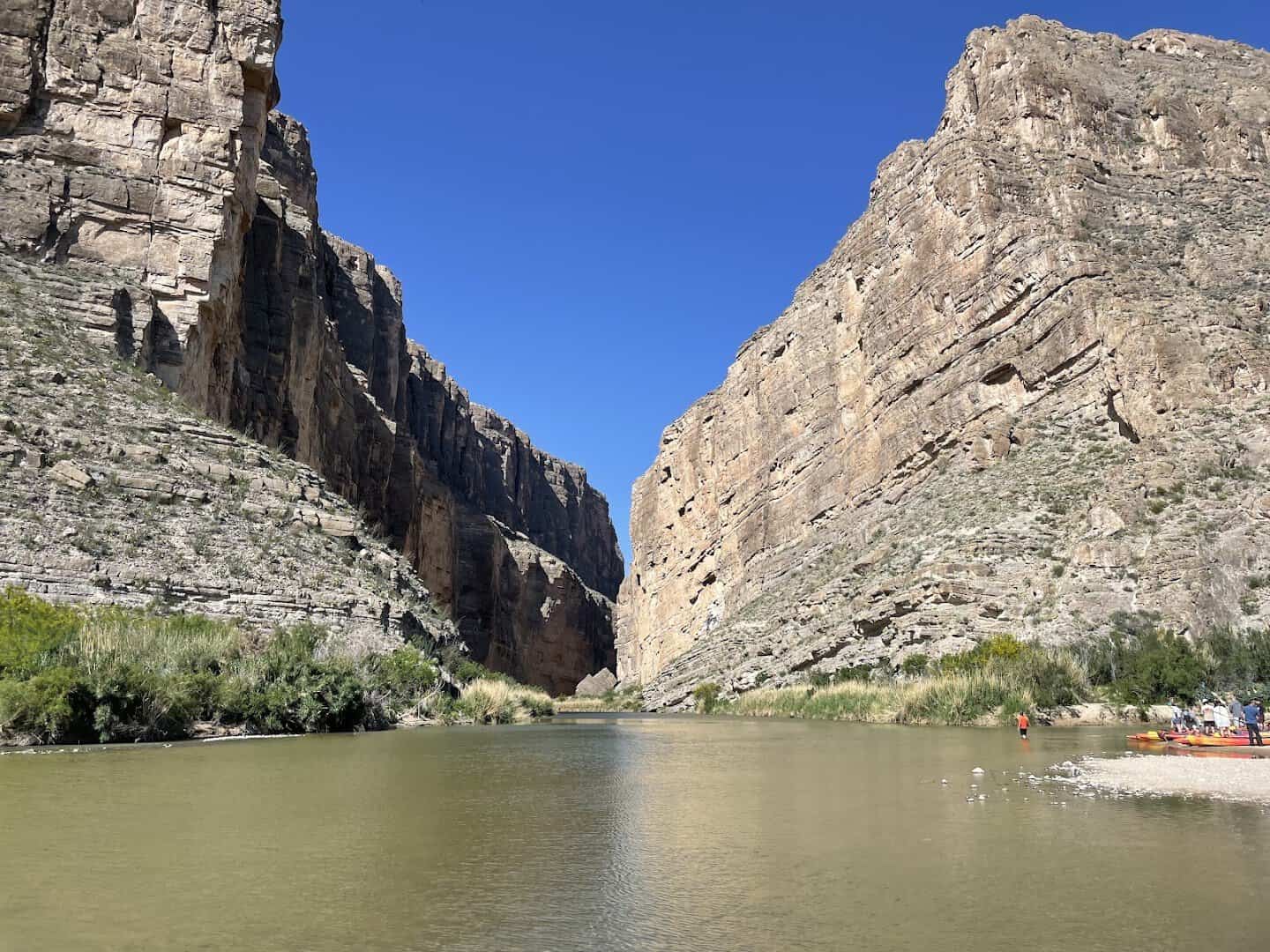
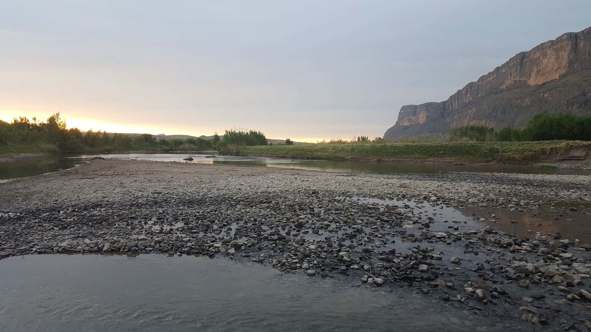
The canyon is narrow, so the two cliff faces feel close enough to shout across. The Rio Grande slides between them, green and quiet, and the temperature drops the moment the shade takes over.
Look up and the sky becomes a thin blue ribbon far overhead. Look across the water and you are staring straight at Mexico. The far wall is the Sierra Ponce; the wall under your feet is Texas.
This is one of the few places where you can stand in one country, toss a pebble, and reach another. The border here is not a fence or a checkpoint. It is a river you could nearly wade.
Come early or late and the low sun turns the pale limestone a warm honey gold. Photographers chase that light, and it is the single best reason to time your visit around sunrise or sunset.
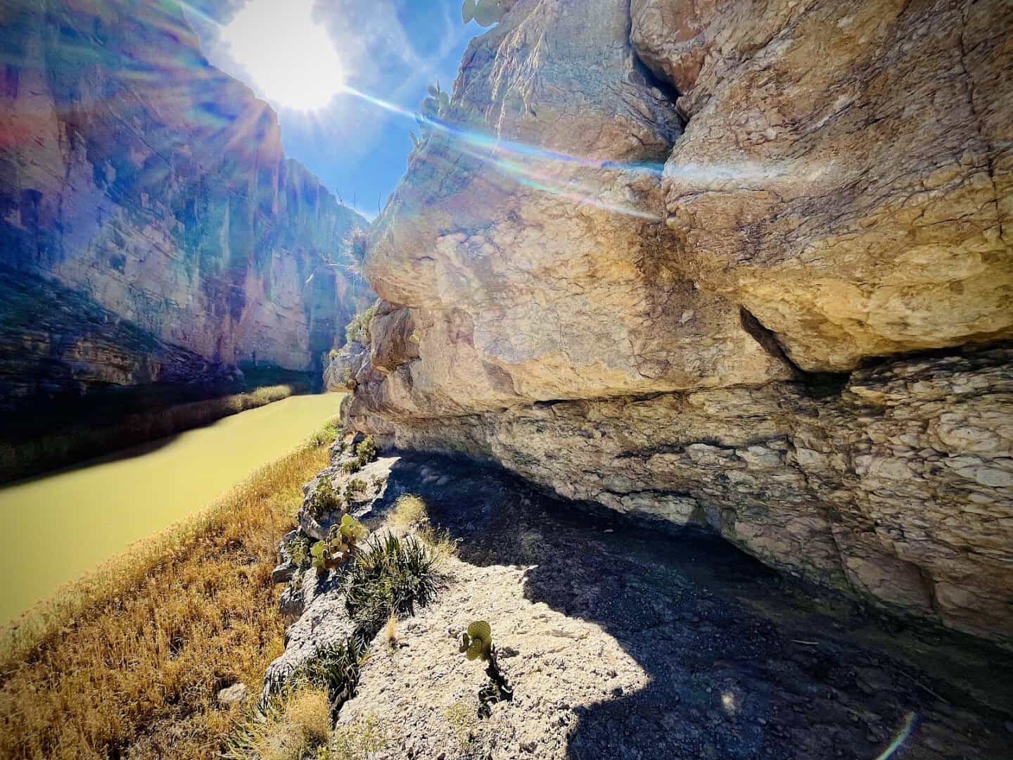
Sound behaves strangely in the gorge too. Voices bounce off the rock, a bird call carries, and the river’s low hush fills everything underneath. It is loud and peaceful at the same time.
The floor of the canyon stays cooler than the desert outside, so even on a warm day the last stretch feels like walking into a shaded room. It is the kind of quiet you drive a long way to find.
How a River Cut a Cathedral
The scale of the place makes more sense once you know how it got here, and the story runs back a very long way.
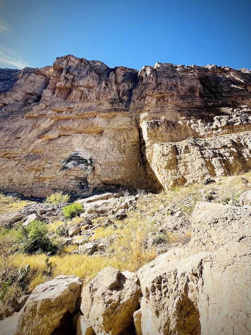
The limestone in these walls started as sediment on the floor of a shallow sea that covered this corner of Texas somewhere between 100 and 130 million years ago. Layer built on layer, then hardened into rock.
Later, movement along a deep fault lifted that rock into a high block. On the Texas side it is called Mesa de Anguila; across the river in Mexico it becomes the Sierra Ponce. Both are pieces of the same uplift.
The Rio Grande did the rest. Given enough time, the river sawed straight down through the raised limestone, carving a gorge with sides that now stand up to 1,500 feet tall.
The result is so distinct you can spot the dark notch of the canyon from more than ten miles off, long before you reach the trailhead. It looks like someone took a blade to the mountains.
The land around it became a national park on June 12, 1944, after Texans spent years buying up and donating acreage to protect it. The canyon has anchored the park’s western end ever since.
Much of the credit goes to Everett Townsend, a former Texas Ranger and state legislator who pushed for the park so relentlessly that he is remembered today as the Father of Big Bend. He first saw this country on horseback and never let the idea go.
Did you know the whole park sits inside the great southward swing of the Rio Grande that gives Big Bend its name? The river is both the border and the sculptor here.
The Creek You Cross to Get There
There is one wrinkle between the parking lot and the canyon, and it is worth understanding before you go: Terlingua Creek.
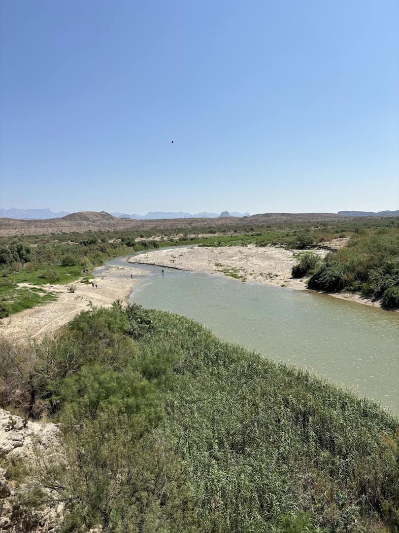
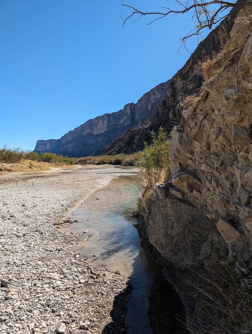
The creek meets the Rio Grande right at the trailhead, and the path crosses it. Most of the year the bed is dry sand or packed mud, and you simply walk across.
After rain it becomes a different animal. The crossing can turn to ankle deep mud, and after heavy summer storms it can run too high and silty to cross at all, which closes the trail until the water drops.
Pro tip: check conditions with a ranger or the park’s alerts page before you drive out, especially from July through September when storms roll through. A five minute phone check can save you a two hour detour.
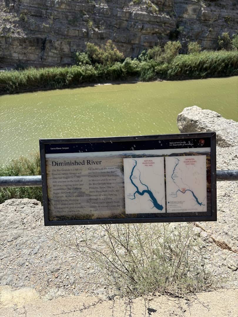
When the creek is muddy, aim for the rockier bottom where you cross and stay off the slick mud at the water’s edge. Closed toe water shoes or sandals you do not mind rinsing are the smart call.
Once you are across, the rest of the trail is easy going. The crossing is the only part that ever asks anything of you, and most days it asks nothing at all.
The Other Way In: By Water
If a walk into the mouth of the canyon leaves you wanting more, there is a second way to see it, and it is even better.
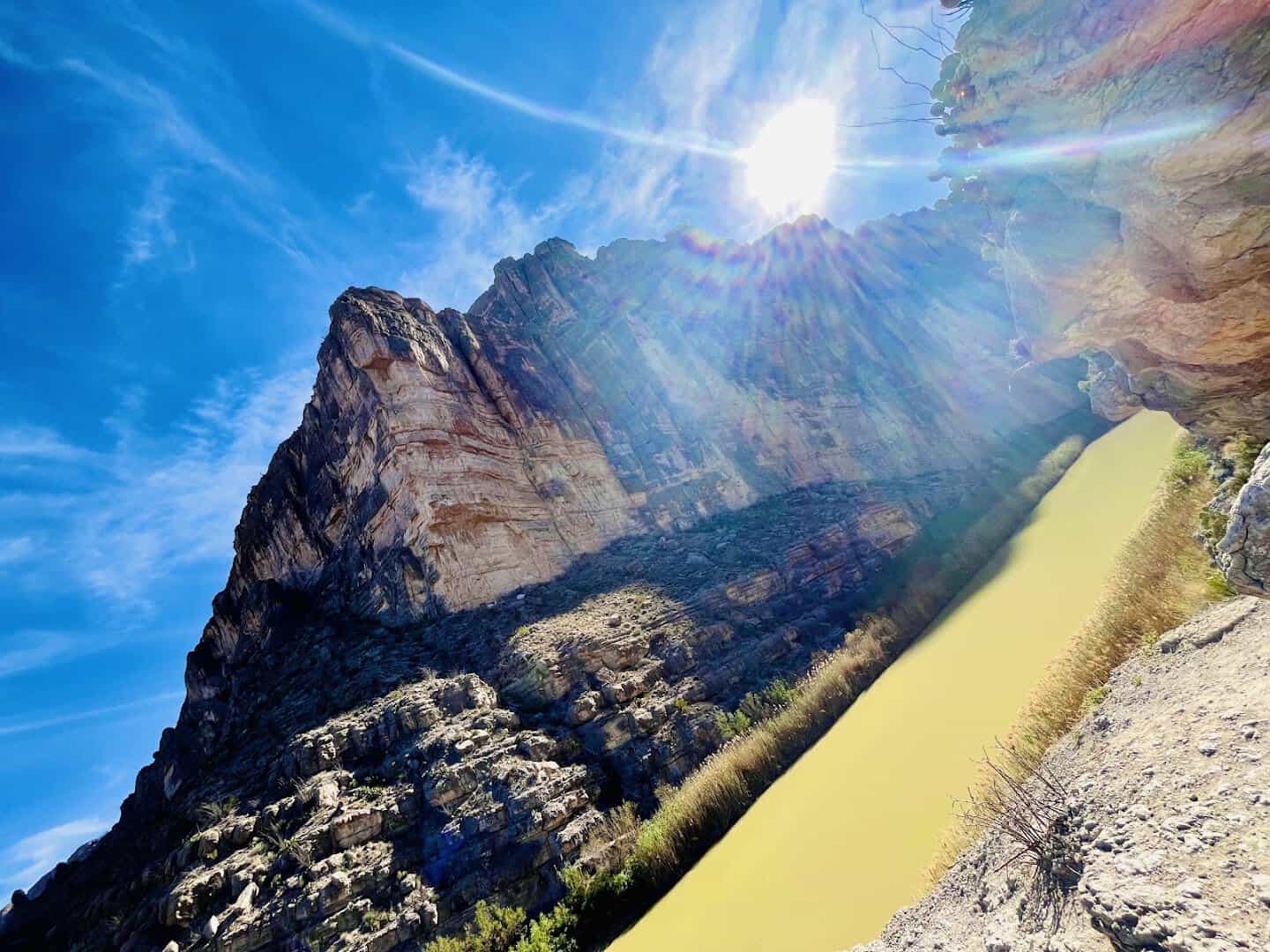
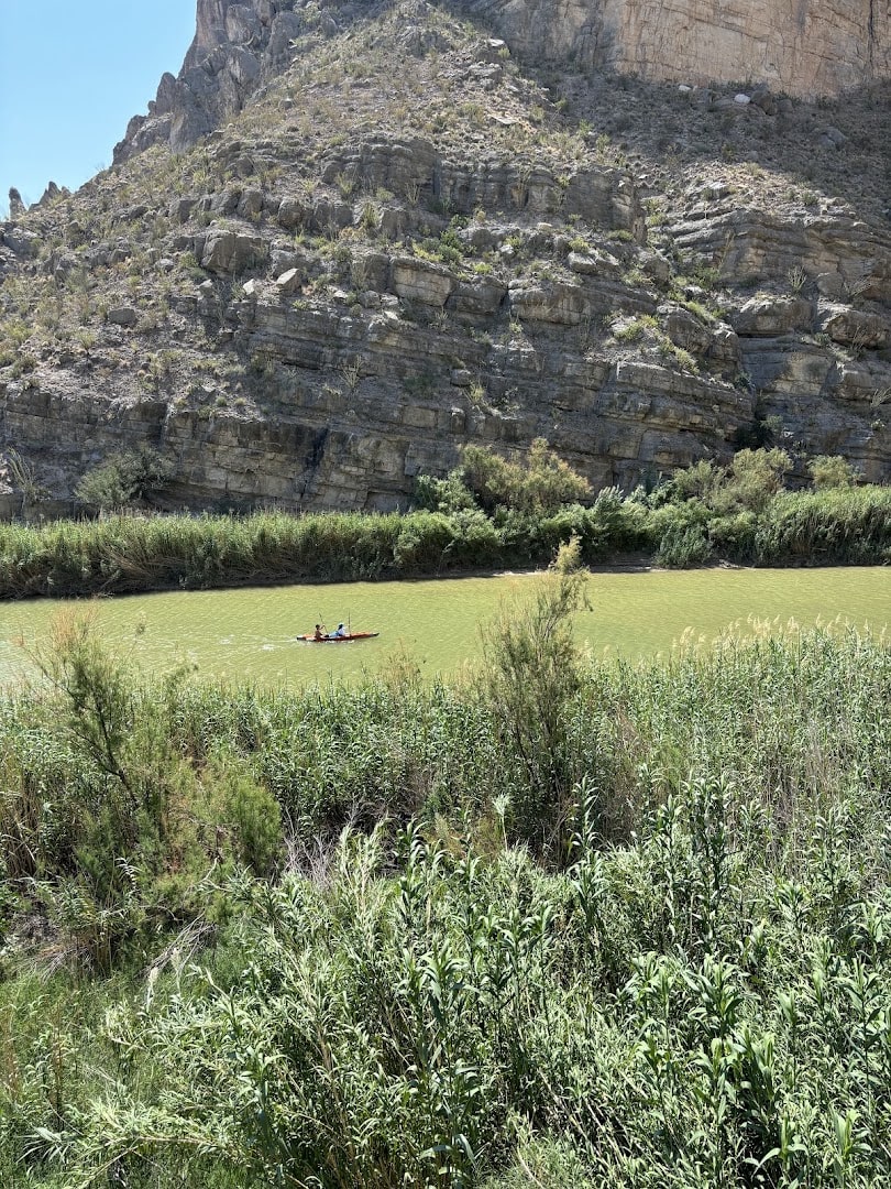
Day paddlers put in near the trailhead and float a few miles up into the gorge, then ride the current back down. On the water the walls tower over you in a way the trail only hints at.
A day trip on the river needs no fee, only a free backcountry use permit you can pick up at a visitor center. That is a rare bargain for a view this big.
Deeper in, the canyon holds the Rock Slide, a jumble of house sized boulders that becomes a Class IV rapid at higher water. Most casual paddlers turn around before it, and that is perfectly fine; the scenery near the mouth is the star anyway.
Even from a rented canoe or a guided raft, the trip is calm for long stretches, with the current doing much of the work while you crane your neck at the rock overhead.
The Drive Is Half the Adventure
The canyon sits at the very end of the Ross Maxwell Scenic Drive, and that road is an attraction in its own right.
The drive rolls past desert overlooks, oddly shaped peaks, and pull offs where you can stop and stare. Sotol Vista opens up a huge sweep of the badlands, and the twin spires known as Mule Ears are hard to miss.
Give yourself extra time so the drive is part of the day, not a race to the parking lot. Every few miles there is a reason to pull over, and the light changes the whole scene as the sun moves.
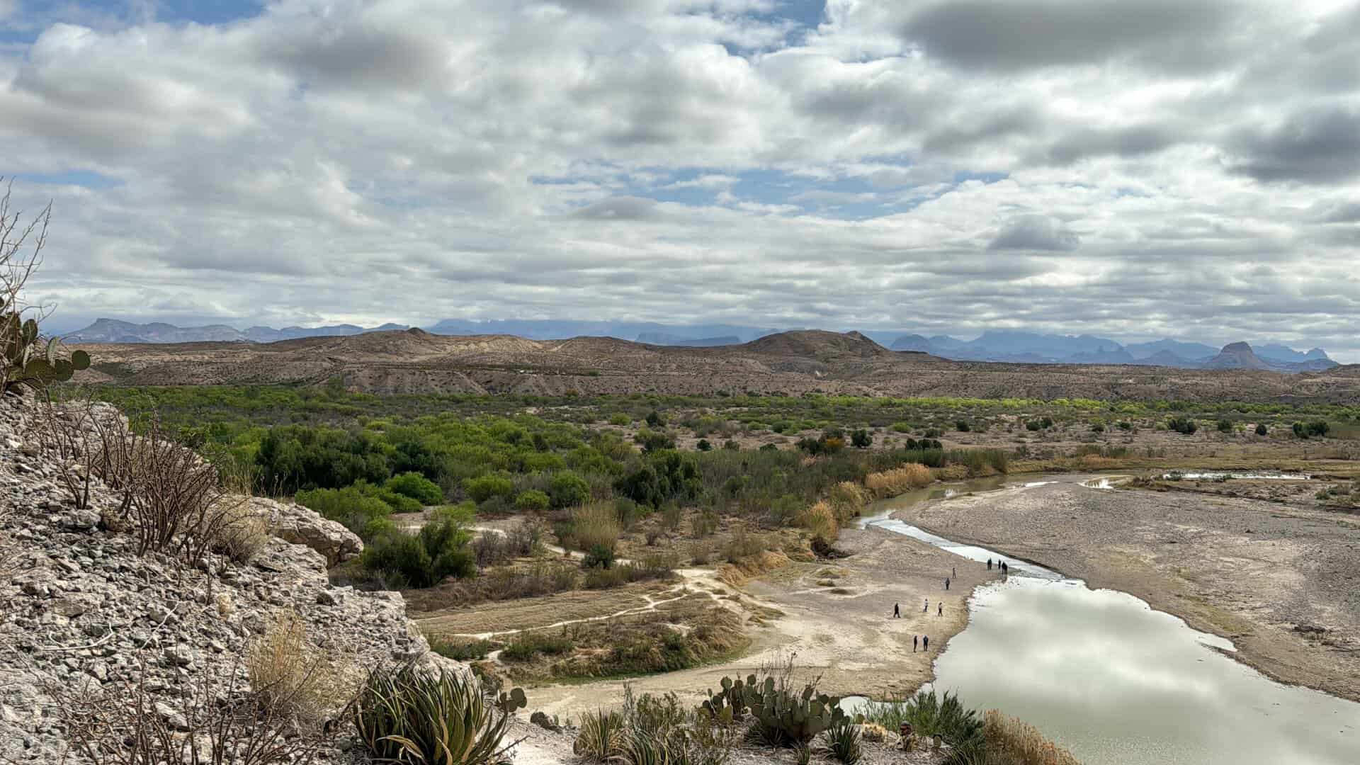
Near the end you pass the old Castolon area, a former trading post and farming community that hints at how people once scratched out a life this far from anywhere. It is a quiet reminder that the desert has always been lived in.
When to Go and What to Bring
Timing matters more here than distance does. The trailhead parking lot is small and popular, and the park is remote enough that a little planning pays off.
Arrive before nine in the morning during the busy cool season, roughly November through April, and you will likely find a spot and a hushed canyon. Show up midday on a holiday weekend and you may circle the lot.
This is desert, so water is not optional. Carry more than you think you need, wear a hat and sunscreen, and know that shade inside the canyon comes and goes.
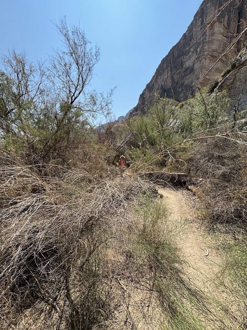
Summer days out here run brutally hot, which is exactly why early morning is the sweet spot in warm months. The light is better and the heat has not arrived yet.
The walk itself is family friendly and doable for most fitness levels, stone steps included. It is one of the rare big scenic hikes that a wide range of people can actually finish and enjoy.
Did you know Big Bend is one of the darkest night skies in the country, an official International Dark Sky Park? Stay after sunset and the same trailhead sits under a river of stars.
How to Get There
The canyon sits at the western edge of Big Bend National Park, near the old Castolon area, at the end of the Ross Maxwell Scenic Drive. The nearest town for food and a bed is Terlingua.
Where: Santa Elena Canyon Trailhead, Ross Maxwell Scenic Drive, Big Bend National Park, TX 79834
Entry to the park runs $30 per vehicle and covers a full week. The park went fully cashless in 2026, so bring a card rather than cash.
From the Panther Junction visitor center, the drive out to the trailhead takes the better part of an hour. Fuel up and fill your water bottles before you leave the main road, because services are scarce once you head west.
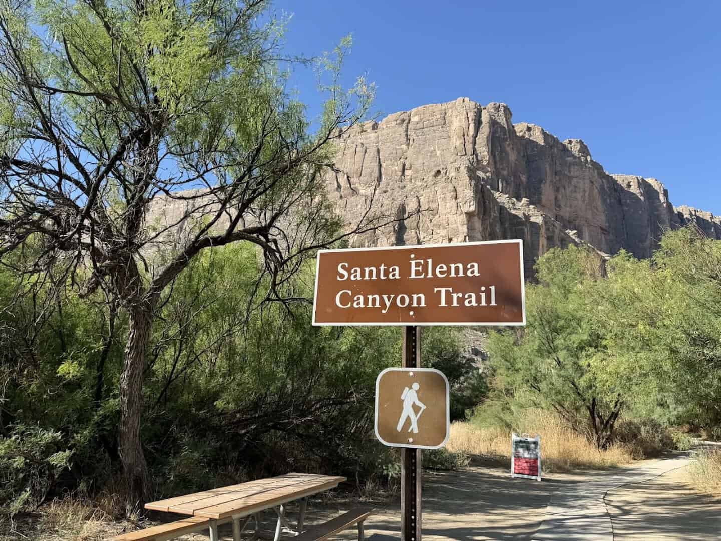
There are restrooms and a paved parking area at the trailhead, and that is the extent of it. Cell service is thin to nonexistent out here, so download your map and tell someone your plan.
Point Your Car West
Some views make you work for hours. This one asks for a short walk, a creek crossing, and a little planning around the light.
For that small price you get to stand between thousand foot walls, watch the Rio Grande carry the border past your boots, and feel very small in the best possible way.
So pack the water, check the creek, aim for golden hour, and go see the spot where a quiet river cut a canyon out of solid stone. West Texas has been waiting to surprise you.
Featured image: hazardous hannah via Santa Elena Canyon Trail

Stella Raines
Editor-in-Chief
Stella brings over a decade of storytelling experience to TX Headlines. With roots in West Texas and a love for road trips, she leads the editorial team with an eye for the hidden stories that make Texas unforgettable.
More Stories
This North Texas Bluebonnet Trail Winds 40 Miles Through Wildflower Country Each Spring
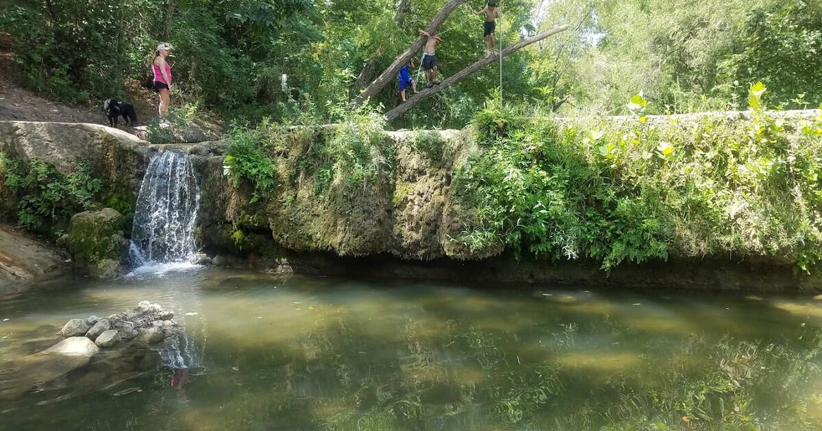
This Easygoing 2.7-Mile Texas Trail Ends at a Secret Waterfall and Hills Full of Wildflowers
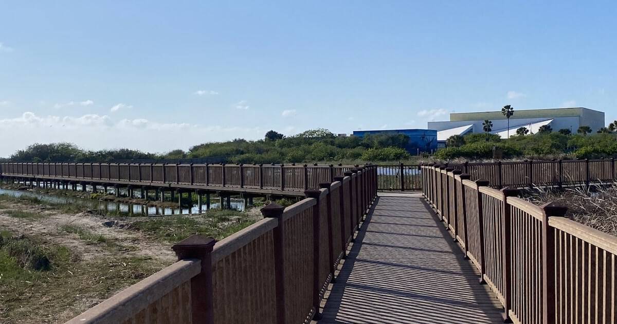
This Free Texas Coastal Boardwalk Is Priceless for Birdwatchers
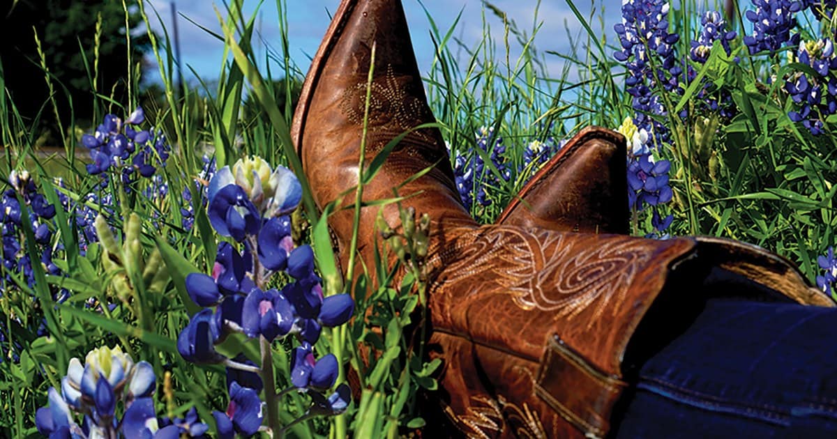
This Small Texas Town Is the Official Bluebonnet City, and Spring Turns It Blue
Tags