This Beloved Texas Lake Is 63 Miles of Limestone Cliffs, Hidden Coves and Unbeatable Sunsets
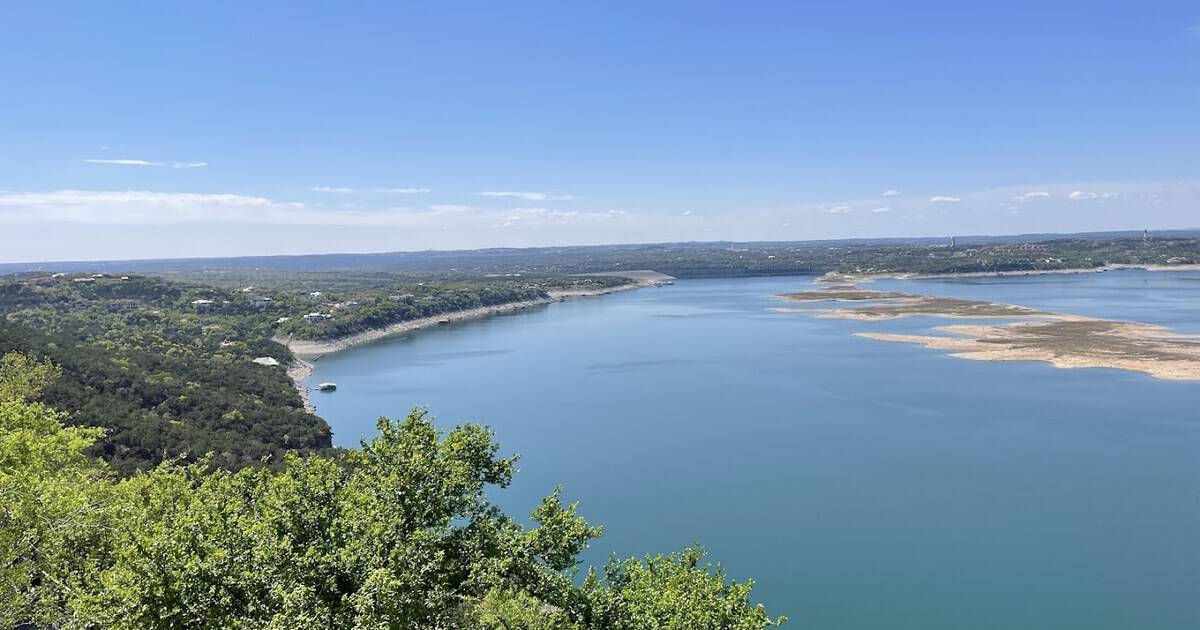
My cousin counted me down from three, and twice I hung on that rope swing like a possum in a mesquite tree. Both times the whole cove laughed at me. On the third count my hands opened without asking permission.
The water came up cold and green. I surfaced spitting and hollering, already swimming back toward the ledge to go again. I was eleven years old.
That was Lake Travis, the long blue crescent that curls through the hills west of Austin. The cliffs above the cove were holding July heat like a skillet, and I have measured every Texas summer since against that sun-warmed limestone.
Here is why this lake keeps its hold on people, and everything you need to plan a day, a weekend, or a whole summer on it.
A Lake That Runs 63 Miles and Never Sits Still
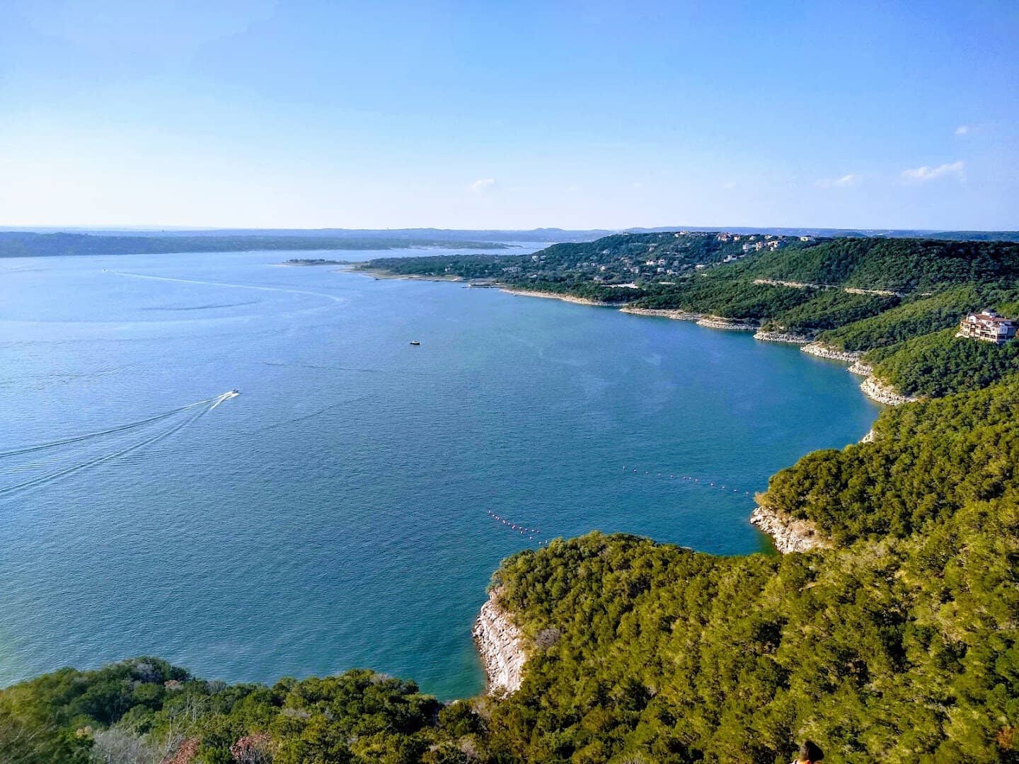
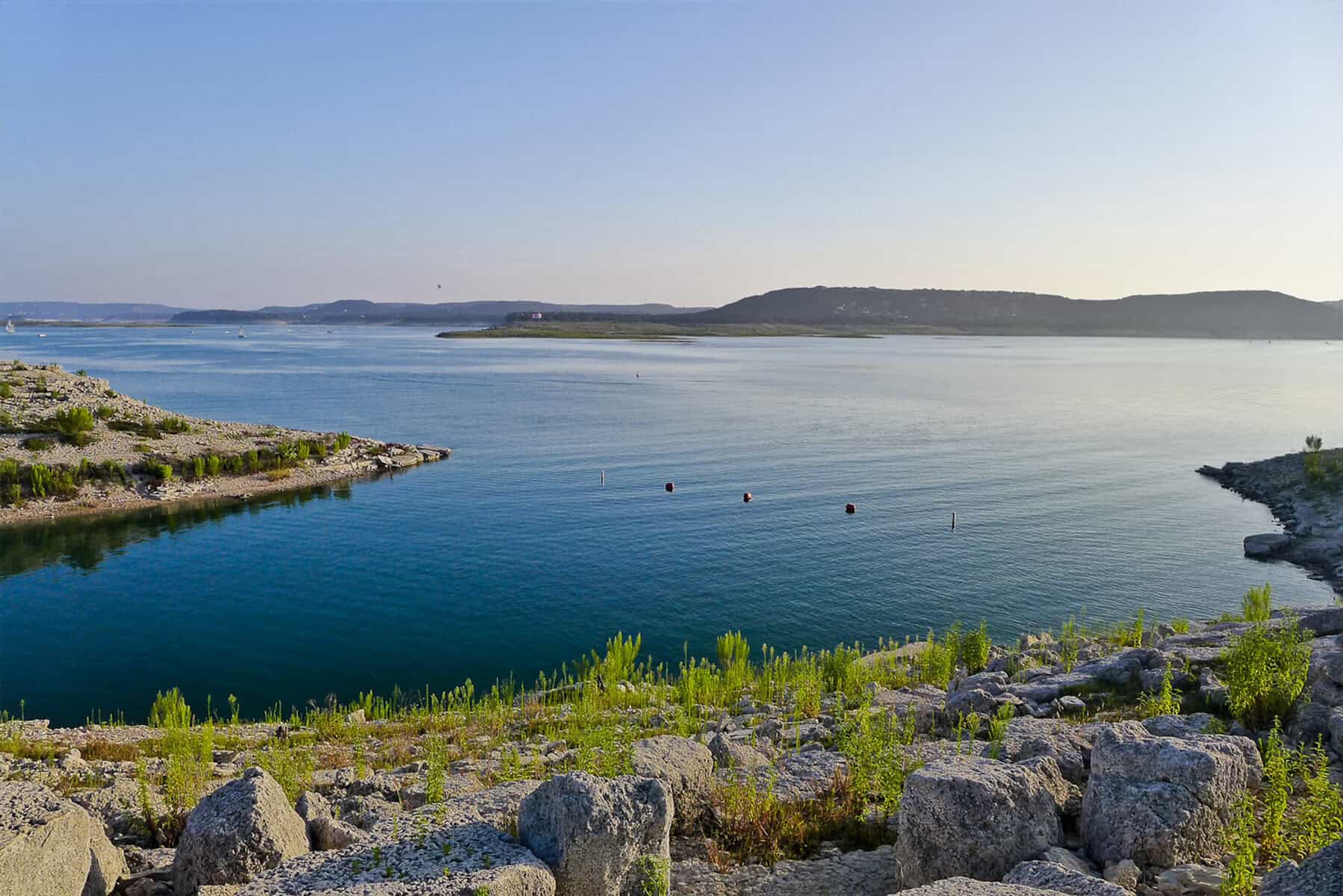
Lake Travis is the giant of the six Highland Lakes, the chain the Colorado River wears like beads across Central Texas. It runs better than 63 miles end to end and wraps roughly 270 miles of shoreline around the hills.
At full pool the surface covers close to 19,000 acres and sits 681 feet above sea level. Near the dam the bottom drops away to about 210 feet, which is deep water by any Texas standard.
Everything upstream drains toward it. The watershed above the dam covers 38,130 square miles, so a good rain out west eventually arrives here as a rising green line on the rock.
That geography gives you options. The lower basin is broad and deep and built for sailing. The upper arms narrow into quiet fingers where a kayak feels like exactly the right size boat.
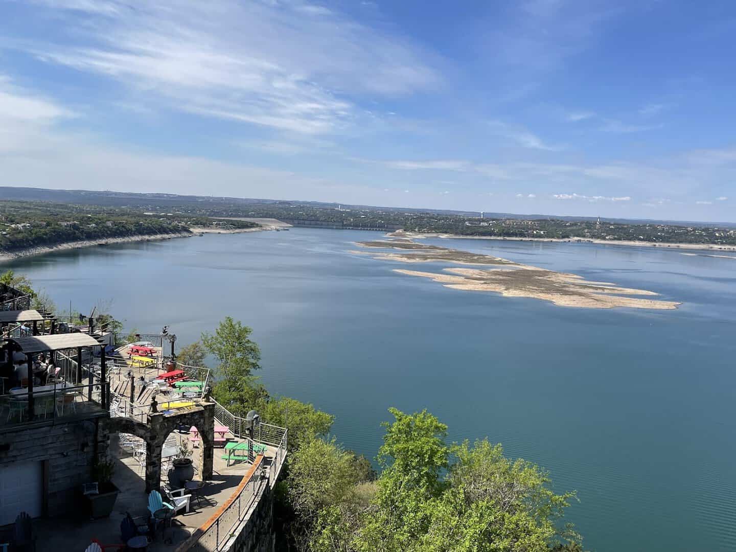
It also means no two visits look the same. This is a working flood-control reservoir, so the shoreline breathes in and out with the seasons, and every level reveals a different beach.
A River Crossing, a Flood, and a Young Congressman
Before there was a lake there was a shallow spot in the river called Marshall Ford, a wagon crossing with a small settlement around it. In December 1936 the federal government authorized the Lower Colorado River Authority to build a dam there.
Ground broke on February 19, 1937, with Secretary of the Interior Harold Ickes on hand. The Bureau of Reclamation partnered on the engineering, and a young Houston outfit called Brown and Root did the pouring.
Then the river made its own argument. The flood of July 1938 tore through the valley, and the planners went back to the drawings and raised the structure from 200 feet to 278.
Money for the taller dam had to come from Washington, and a first-term congressman from the Hill Country named Lyndon Johnson made it his personal errand.
He worked the Roosevelt administration hard for it. The Miller Center’s history of his early years calls the dam the greatest achievement of that stretch of his career, which is a sizable claim for a man who later ran the country.
In 1941 the project was renamed for U.S. Representative Joseph J. Mansfield, who had helped push it along. The dam was finished in 1942 at a cost of $28,709,948, standing 278 feet tall and 7,089 feet long.
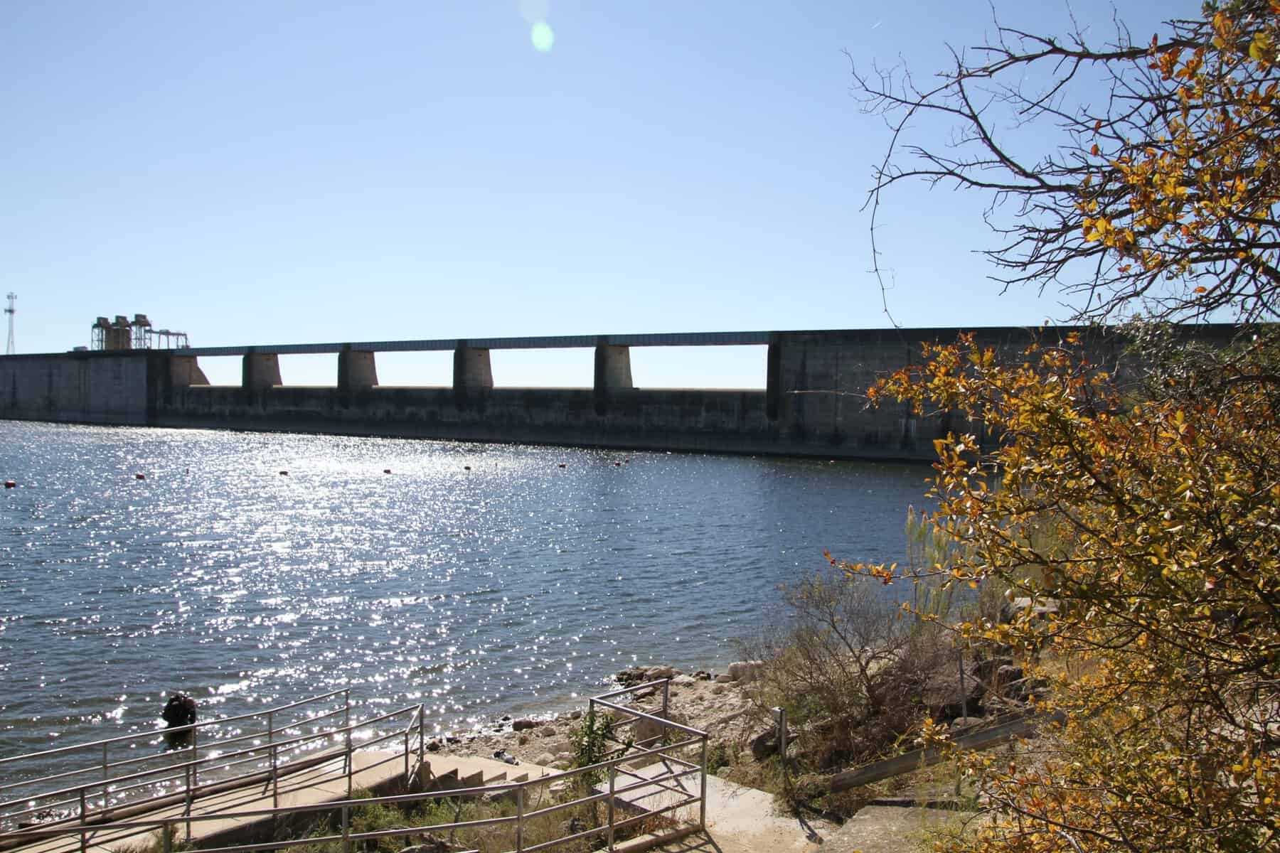
Three turbines inside it still generate up to 108 megawatts. The lake behind it took the name of William Barret Travis, the Alamo commander, which is how a wagon ford became a body of water known statewide.
Did you know? Mansfield Dam is the only structure in the entire Highland Lakes chain designed specifically to hold floodwater back from the lower basin. It has been quietly doing that job since the year my grandmother started school.
Nine Miles of Shoreline at Pace Bend
If I get one day on the lake, I spend it at Pace Bend Park. The Colorado loops almost all the way around this peninsula, which gives the county park 1,368 acres and more than nine miles of shoreline.
A six-mile paved road rings the whole thing, so you can drive the loop and pick your water. The west side is high limestone, cliff after cliff, with coves cut in below like bites out of a cookie.
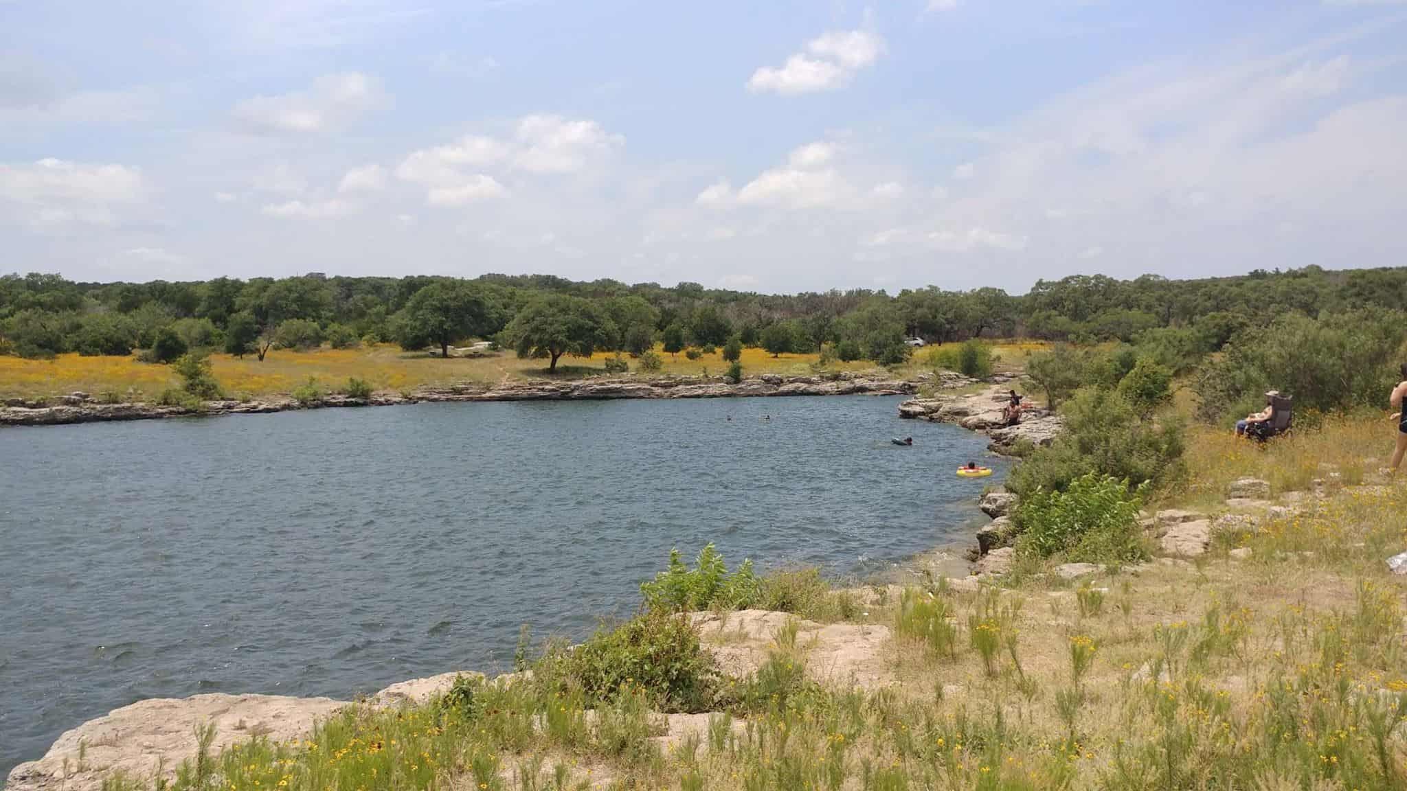
The east side slopes gently into sandy shallows that suit small kids and old dogs. My favorite swim is Mudd Cove early, before the sun clears the rim, when the water still holds a little of the night.
Kate Cove and Gracy Cove draw the jumpers. County signs ask you to check the depth before you leap, which is honest advice on a lake whose level moves with the weather.
Day use runs $5 a person, $3 for seniors 62 and up, and children 12 and under get in free. Bring cash, because the entrance booth does not take cards.
Camping is the real prize. Twenty improved sites with water and electric go for $30 a night above Levi Cove, and the primitive sites at Kate, Johnson, and North Gracy run $15.
The middle of the peninsula is kept as a wildlife preserve, reachable only on foot, by bicycle, or on horseback. Walk in far enough and the boat motors fade out behind the cedar.
Bluebonnets by the Acre in Spring
Come late March, I point the truck toward Muleshoe Bend Recreation Area instead. This LCRA park sprawls across 471 acres of Hill Country on the lake’s south side, and in spring the ground goes blue.
The bluebonnets usually peak from the last week of March into the first days of April. Photographers arrive at dawn for the light, and the trails fill with families walking slow and looking down.
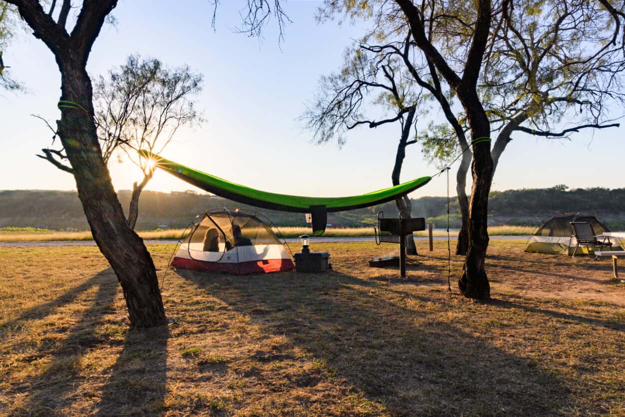
There are about ten miles of multiuse trail here, most of it shaded by live oak and open to hikers, mountain bikers, and horses. Forty-one campsites sit near the water, primitive and quiet.
Pro tip: the sites have no hookups, so pack your own water and plan on the portable toilets. What you get in exchange is a tent pitched close enough to hear the lake move at night.
Down the Ladder to the Boats on the Bottom
A lake this deep has a downstairs, and people go visit it. Divers have been dropping into this water for decades, and over that time the bottom has collected plenty for them to find.
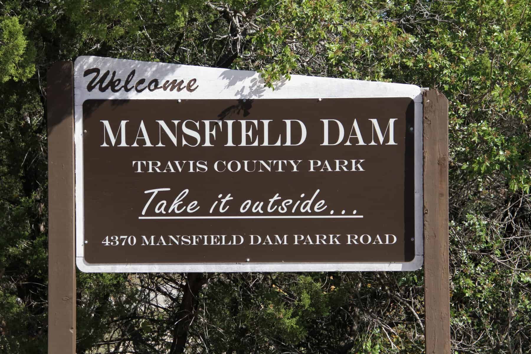
Mansfield Dam Park is the lake’s dedicated dive site, and it is set up properly for the job, with dive stairs, a wheelchair-accessible ramp, and a courtesy lift that saves your knees on the hill.
Four underwater platforms hang at different depths so instructors can run students through their skills at a set level. Below them the lake keeps sunken boats, old dam construction material, and rock formations worth the swim.
Summer water sits in the seventies and low eighties near the surface and cools fast as you drop. Entry is $10 a vehicle, or $3 if you walk or pedal in, and dive groups can camp overnight for $20.
“You will feel the thermocline before you see it,” a divemaster told me on the ramp, tapping his gauge. He was right. It arrives like stepping off a hot porch into a cellar.
What Is Biting Out There
The fishing here rewards patience and a good map. Largemouth bass hold on points, ledges, and brush piles, and they come in real numbers even if they rarely come in giants.
Guadalupe bass, the Texas state fish, live along the rocky cliffs and deeper ledges in ten to twenty feet of water. Catching the state fish in a state lake feels like collecting a set.
White bass run up the creek arms and the Pedernales from February into May, which is when I like to be out there with light tackle and no particular plan.
Striped bass and catfish stack in the deep basin near the dam, sometimes fifty to a hundred feet down. Crappie tuck into the calm coves around Cypress Creek, and the sunfish will keep any child busy all afternoon.
In 2021 the Bass Pro Tour brought a stage of its season to this water, which put a national field of anglers on the same points and ledges the locals have been working for years.
Shore fishing is real here too, and free. Several of the county parks put you within a cast of deep water, which is a rare thing on a reservoir this size.
Paddling the Quiet End
Not everything out here runs on horsepower. The upper arms narrow and settle as the lake reaches back toward the west, and that stretch is kayak and paddleboard country.
I like putting in early, when the water lies flat enough to hold the reflection of a whole bluff. Herons work the shallows. Turtles slide off the warm rocks as you pass.
The Pedernales arm is the prettiest paddle I know on this lake, with cypress along the banks and pale cliffs standing up on both sides. Bring a dry bag and a wide hat.
Boards and boats turn up for rent at most of the lake access points in summer, and plenty of outfitters will meet you at a ramp if you call ahead.
Sunset Capital of Texas
On this lake the day ends at The Oasis, a terraced village of decks stacked into the cliff 450 feet above the water, every one of them facing west. Sunset is the entire point, and the building was designed around it.
It was built in 1982 by Beau Theriot, a Houston restaurateur who bought a ranch on the bluff and started nailing platforms to the hillside. It grew into what is billed as the largest outdoor restaurant in the country.
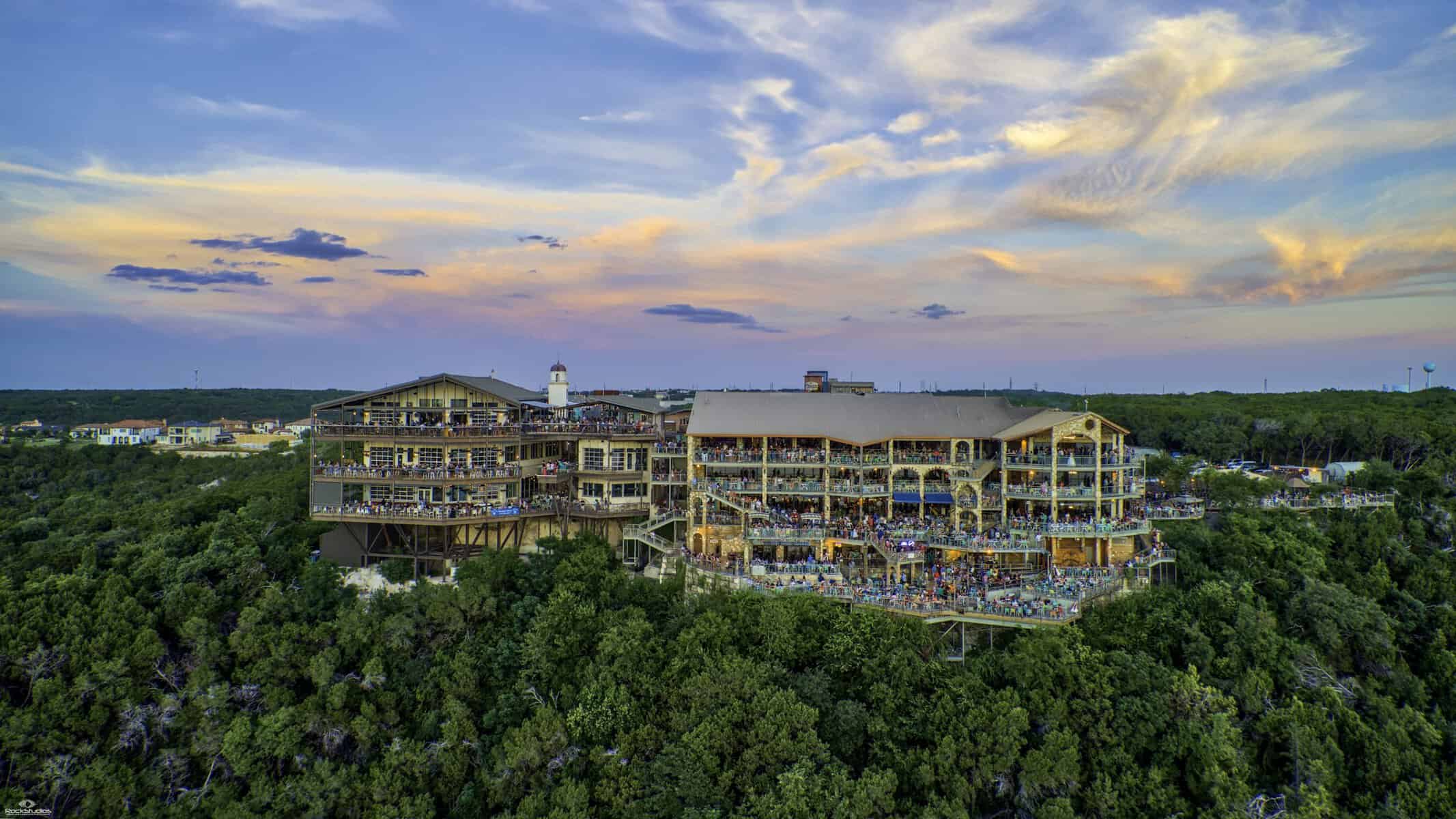
More than forty patios and dining levels can seat something like 2,500 people. On a clear evening the whole hillside turns toward the horizon at once, and when the sun finally goes, the crowd applauds.
Lightning struck on the morning of June 1, 2005, and fire took much of the property in a matter of hours. The parts that escaped the flames reopened within weeks, and the decks that burned were rebuilt larger than before.
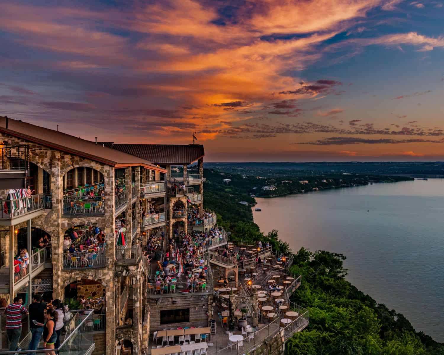
Get there an hour early in summer. The light on the water in the last twenty minutes is the whole reason to come, and you want to be seated with a basket of chips when it starts.
Zip Lines, Waterslides, and a Beach With a Past
On the north shore near Volente, five zip lines run down the hillside, from a 250-foot warm-up to a finale that stretches better than 2,800 feet, the longest in the state.
You launch that last one from roughly twenty stories up and fly out over open water with nothing but lake underneath. The tour runs about three hours, and the day includes their lakefront property, hammocks and grills and all.
Next door, Volente Beach Resort has been going since its pools opened in 1995, with the slides and the stage added over the following year. There are four acres of waterfront out here, two pools, four slide attractions, and a stretch of sand to lie on.
The restaurant building holds the good story. Beachside Billy’s grew up around the original Sea Isle Inn, a 1950s roadhouse where the men who built the dam gathered, and where Lyndon Johnson reportedly turned up more than once.
The Islands That Come and Go
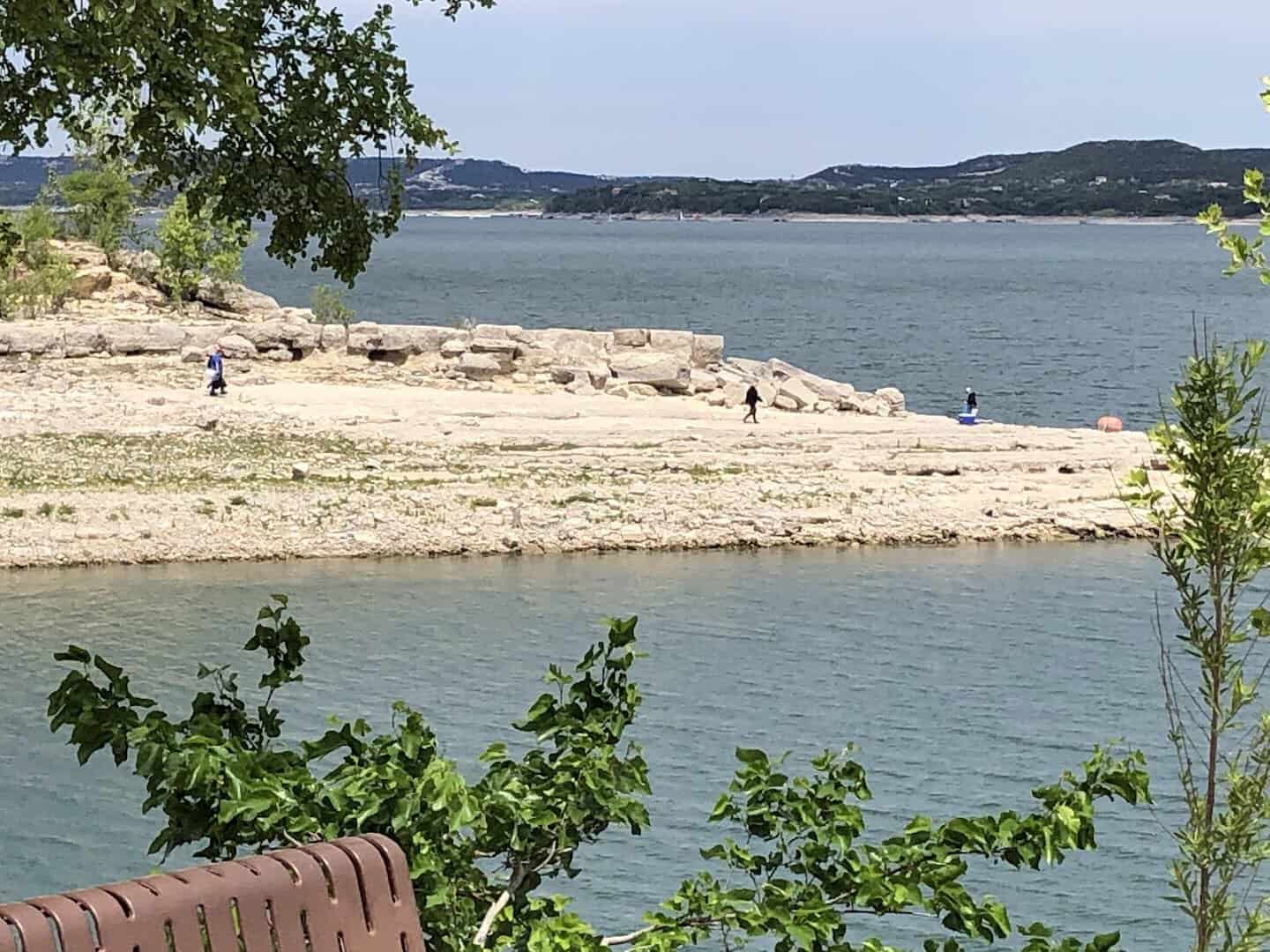
Ask around and someone will mention the Sometimes Islands, which is exactly the right name for them. When the lake sits low, near the 660-foot mark, high ground surfaces below the cliffs by the dam.
People wade, paddle, and motor out to stand on land that spends most of its life underwater. From Bob Wentz Park at Windy Point the trip is short enough for a kayak and a cooler.
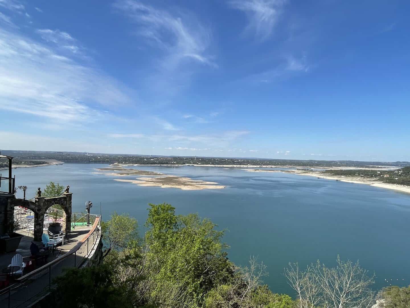
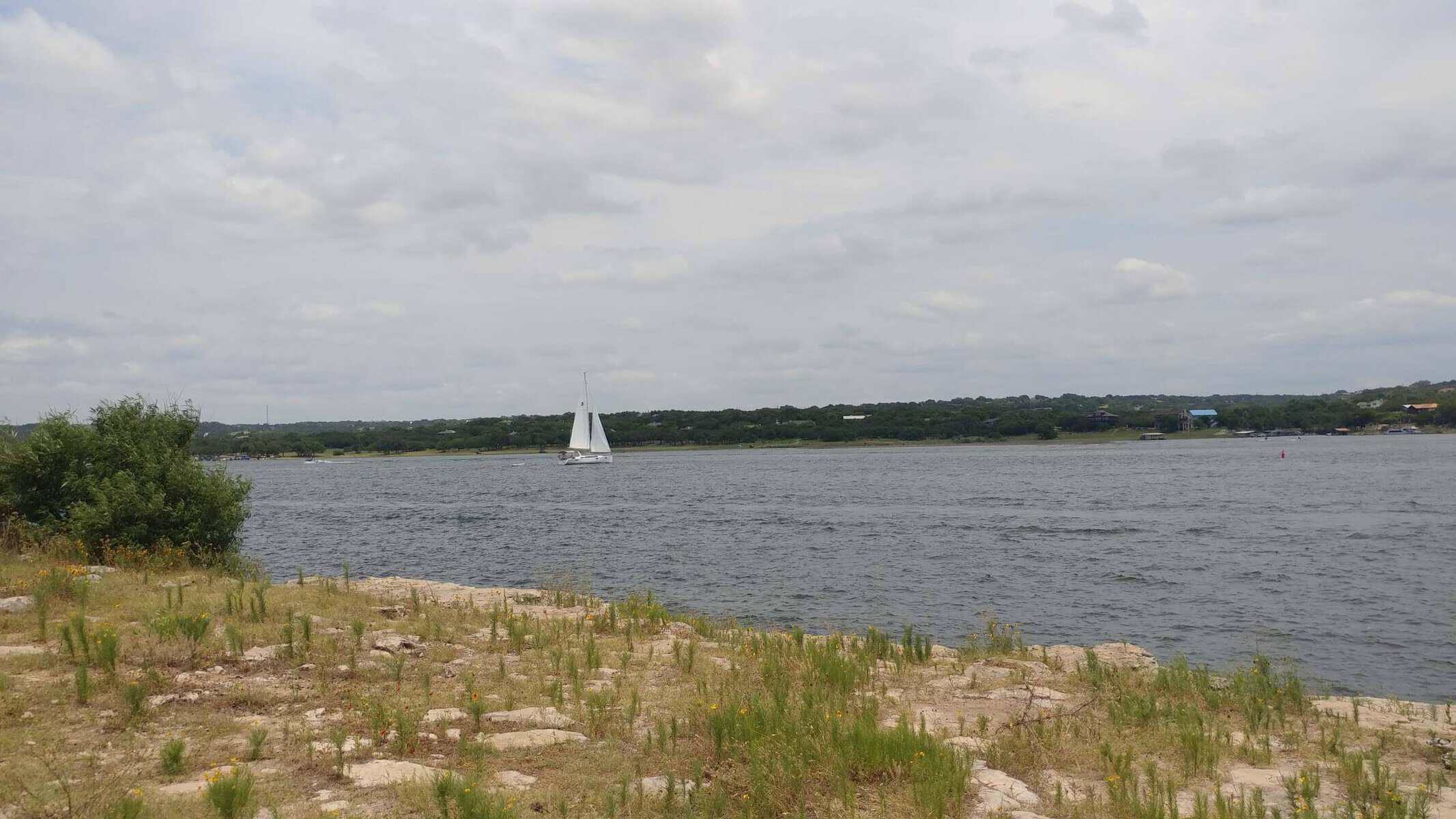
Bob Wentz is a windsurfer’s park by reputation, sitting where the basin funnels a steady breeze across open water. Sailboats work the same wind, and the swimming off the rocks is clear and cold.
Starnes Island, out toward the middle, keeps a sandy edge and shallow water that make it the natural place to drop anchor and let an afternoon go long.
Every Season Has Its Own Version of This Lake
Summer is the loud one, all wake and rope swing and sunscreen. It is the version most people picture, and it earns the reputation honestly.
Spring belongs to the wildflowers and the white bass. Fall brings the clearest water of the year and mornings cool enough to want a jacket on the dock.
Winter is my quiet favorite. The cedar goes dark green, the cliffs stand out sharp against it, and you can have an entire cove to yourself on a Sunday afternoon.
The lake does not close, and neither do most of the parks. A good hike and a very brief swim are both available in February if you are feeling brave.
Pro Tips for Your First Day on the Water
Book the boat before you need it. The rental fleet here is deep, with pontoons and deck boats commonly starting around $115 an hour, and summer weekends fill up well in advance.
Watch the level. Because this is a flood-control reservoir, the shoreline shifts through the year, and a ramp that launched easily in May may want a longer trailer come September.
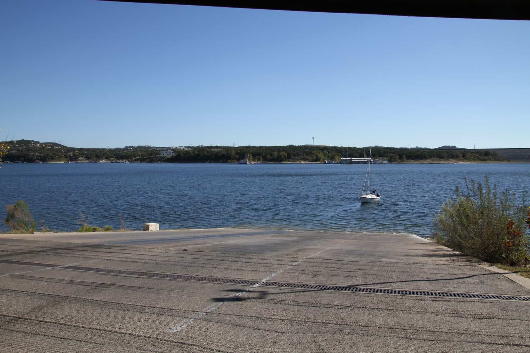
County parks open at sunrise and stop admitting cars an hour before civil twilight, so plan your exit. Carry cash for the gates, sunscreen for the glare off the rock, and more water than you think you need.
My rule is to go early on a Saturday, or to go at all on a Tuesday. Either way the coves feel like they belong to you, at least until the first ski boat comes around the point.
How to Get There
The lake lies west of Austin and is reached on FM 620 and FM 2222 out of town. Every stop below sits within about forty minutes of downtown.
Where: Mansfield Dam Park, 4370 Mansfield Dam Park Road, Austin, TX 78732
Pace Bend Park, 2805 Pace Bend Road North, Spicewood, TX 78669
Muleshoe Bend Recreation Area, 2820 County Road 414, Spicewood, TX 78669
Bob Wentz Park at Windy Point, 7144 Comanche Trail, Austin, TX 78732
The Oasis on Lake Travis, 6550 Comanche Trail, Austin, TX 78732
Volente Beach Resort and Waterpark, 16107 FM 2769, Leander, TX 78641
Start Planning Your Day on the Water
You do not need a boat or a wetsuit to fall for this lake. You need a towel, a cooler, and an afternoon you can afford to lose track of entirely.
Pick your cove, find a rock worth jumping off, and let somebody count you down from three. Then stay for the sunset, because out here the whole hillside stops to watch it, and you should too.
Featured image: Luba S via Lake Travis

Stella Raines
Editor-in-Chief
Stella brings over a decade of storytelling experience to TX Headlines. With roots in West Texas and a love for road trips, she leads the editorial team with an eye for the hidden stories that make Texas unforgettable.
More Stories
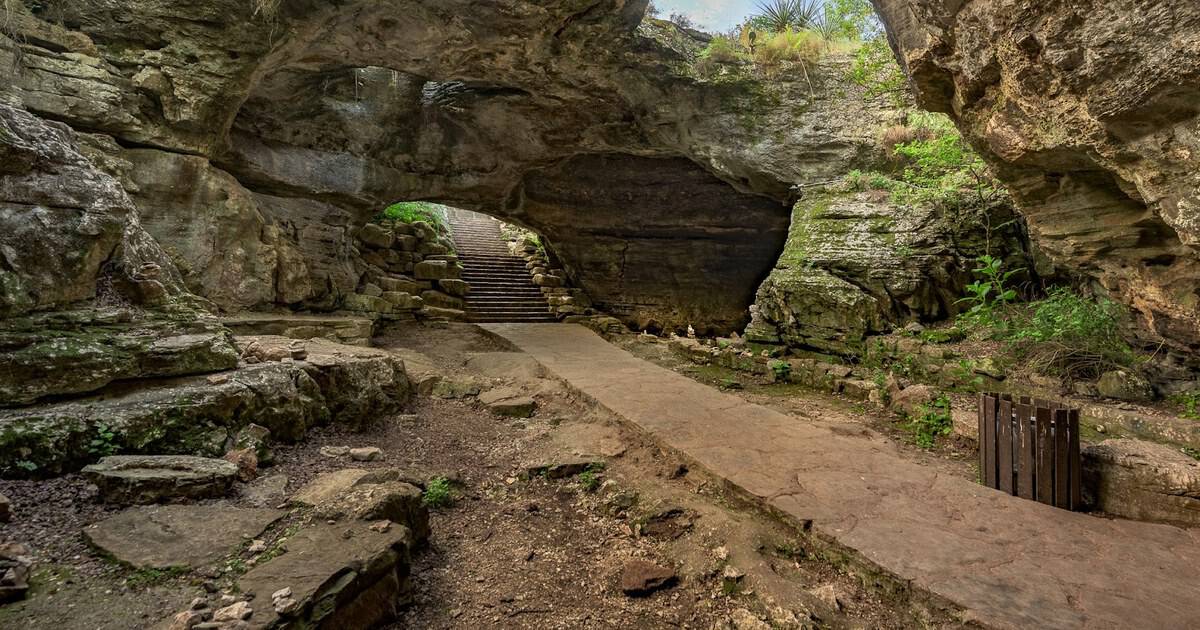
This Secret Texas Cavern Is an Ancient Riverbed That Once Hid a Prohibition Ballroom
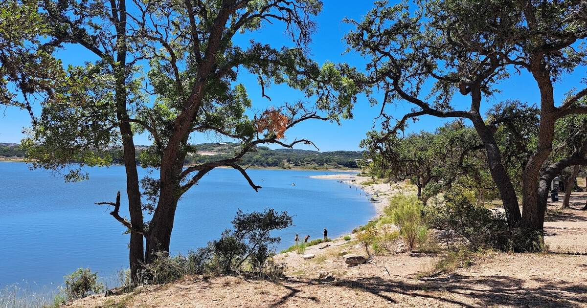
This Turquoise Texas Lake Is a Hill Country Escape That Could Pass for the Caribbean
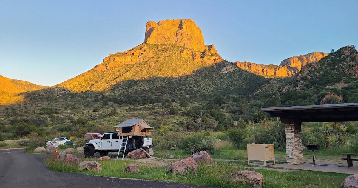
This Secluded West Texas Basin Is a Mile-High Camp Ringed by Volcanic Peaks and Blazing Stars
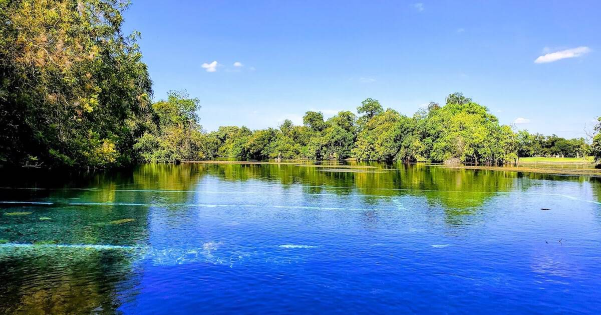
This Spring-Fed Texas Park Is Built Around the Largest Springs in the Southwest
Tags