This Quiet Texas Peninsula Is Best Reached by a Free Ferry Ride With Dolphins
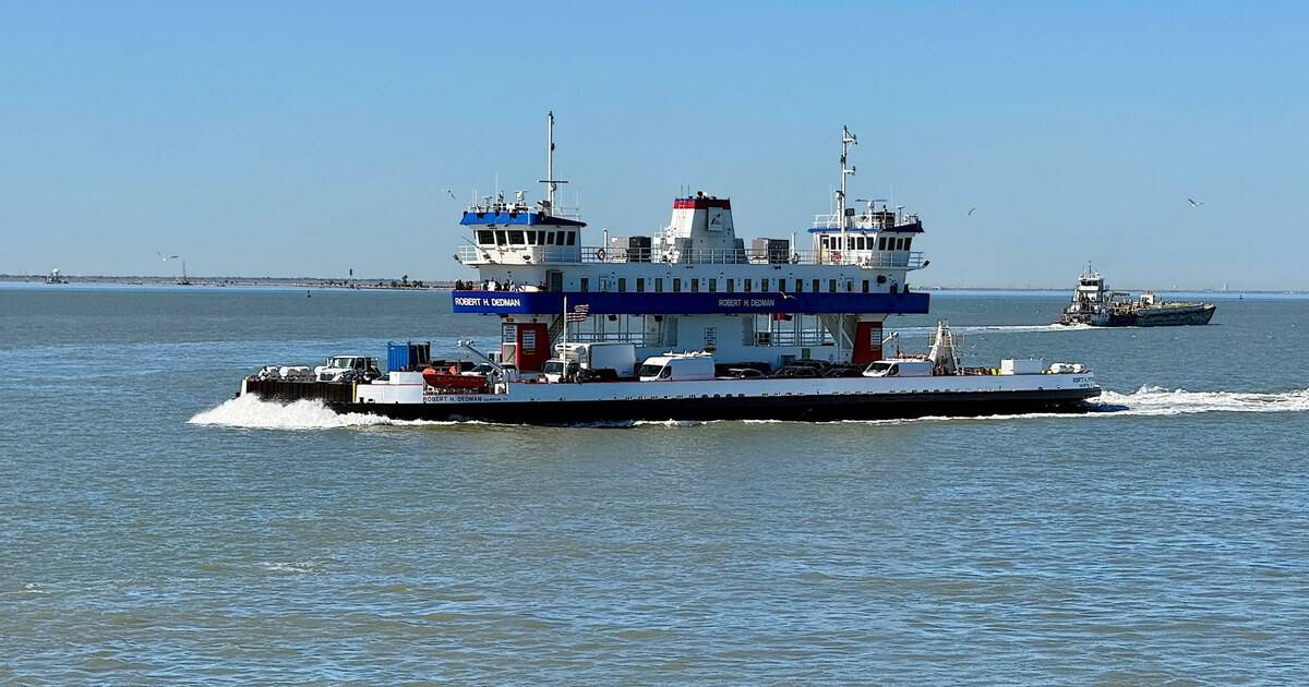
I have a rule about vacations: if the drive to get there is boring, the place had better be spectacular. Then I found out about a Texas beach where the drive itself is the best part, because for the last 2.7 miles you are not driving at all.
You are on a boat. Welcome to the Bolivar Peninsula, a 27-mile strip of sand, marsh and fishing shacks across the water from Galveston, reached by a free state-run ferry where dolphins ride shotgun beside the hull.
Below, I’ll walk you through the crossing, the beaches, the lighthouse, and the birds that make this quiet peninsula worth the wait in line.
A Ferry Ride Where the Dolphins Show Up on Cue
The Galveston to Port Bolivar ferry is run by the Texas Department of Transportation, which means it is technically part of the state highway system. It costs nothing. It runs 24 hours a day, in every kind of weather, and the crossing takes about 18 minutes dock to dock.
Once the deckhands wave your car into place and the ramp lifts, you can get out and climb the stairs to the upper observation deck. That is where the ride turns into something else.
The bay opens up, tankers slide past on the Houston Ship Channel, and pelicans hang in the air like they are on strings.
Then someone shouts, and a gray back rolls out of the water beside the boat. Bottlenose dolphins follow these ferries so reliably that TxDOT lists them on the official page, right alongside the restrooms.
One TripAdvisor reviewer titled their write-up “You WILL see Dolphins!” and another went with “Free Boat Ride and Dolphin Show!” I love a promise that specific.
Several riders report the best sightings on the Port Bolivar side of the channel, so keep watching as the peninsula gets closer. I would put my money on the stretch just before the dock.
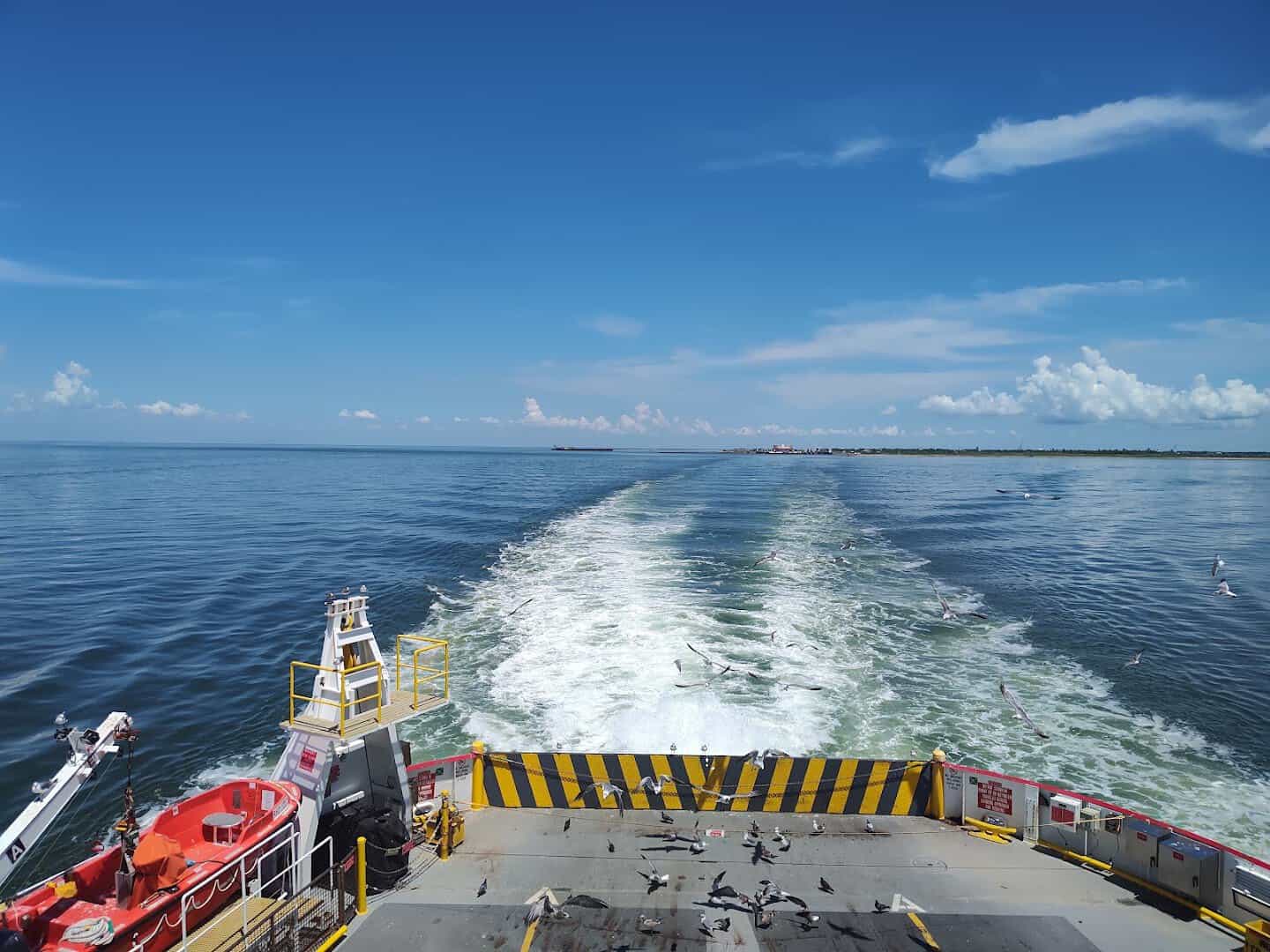
Pro tip: bring a sleeve of cheap sandwich bread or a stack of flour tortillas. Gulls trail the stern of every crossing, and tossing them a piece from the back rail is a Texas ferry tradition that costs about a dollar.
What You’ll See From the Upper Deck
The crossing is short, but it is packed with things to point at. Leaving Galveston, look right for Seawolf Park on Pelican Island, where a retired Navy destroyer and a World War II submarine sit in the open air. The U.S. Coast Guard station is on that side too.
Out in the water, watch for the concrete hull of the Selma, a World War I era ship that has sat half-sunk in the bay for a century. Roughly 7,000 ships a year use this channel, so you will likely pass one the size of a city block.
Coming into Port Bolivar, the view swings to the old iron lighthouse and the grassy mounds of Fort Travis. Shrimp boats work the edges of the channel with their nets up. It smells like salt and diesel and, if a shrimper is close, like the sea itself.
Seven Boats, and Why the Wait Is Part of the Fun
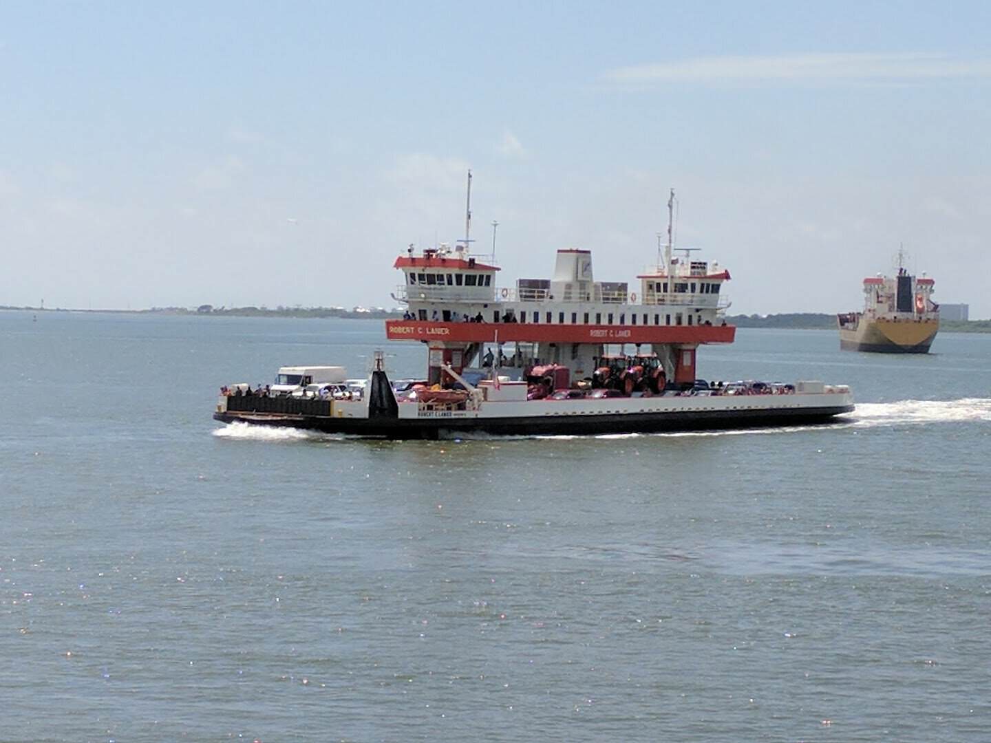
TxDOT keeps seven vessels on this route, each built to carry about 70 vehicles and up to 500 passengers. They are named for Texas transportation figures, starting with the Gibb Gilchrist from 1977.
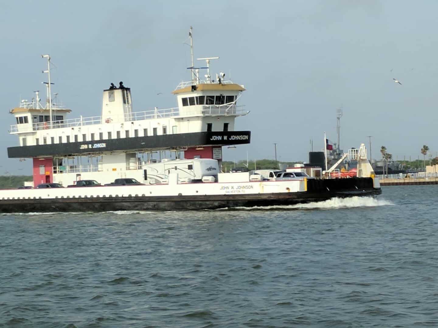
Then come the Robert C. Lanier, the DeWitt C. Greer, the Ray Stoker Jr., the Robert H. Dedman and the John W. Johnson. The newest, the Esperanza “Hope” Andrade, arrived in 2023 at 293 feet long.
On a slow winter weekday you may drive straight onto the boat. On a summer Saturday the line can stretch past an hour, and holiday weekends push it longer. Locals treat the wait like a tailgate. Windows down, radio on, kids counting pelicans.
If you would rather leave the car behind, walk on. Foot passengers board free, there is free parking on both sides, and you can ride over, look around, and ride straight back.
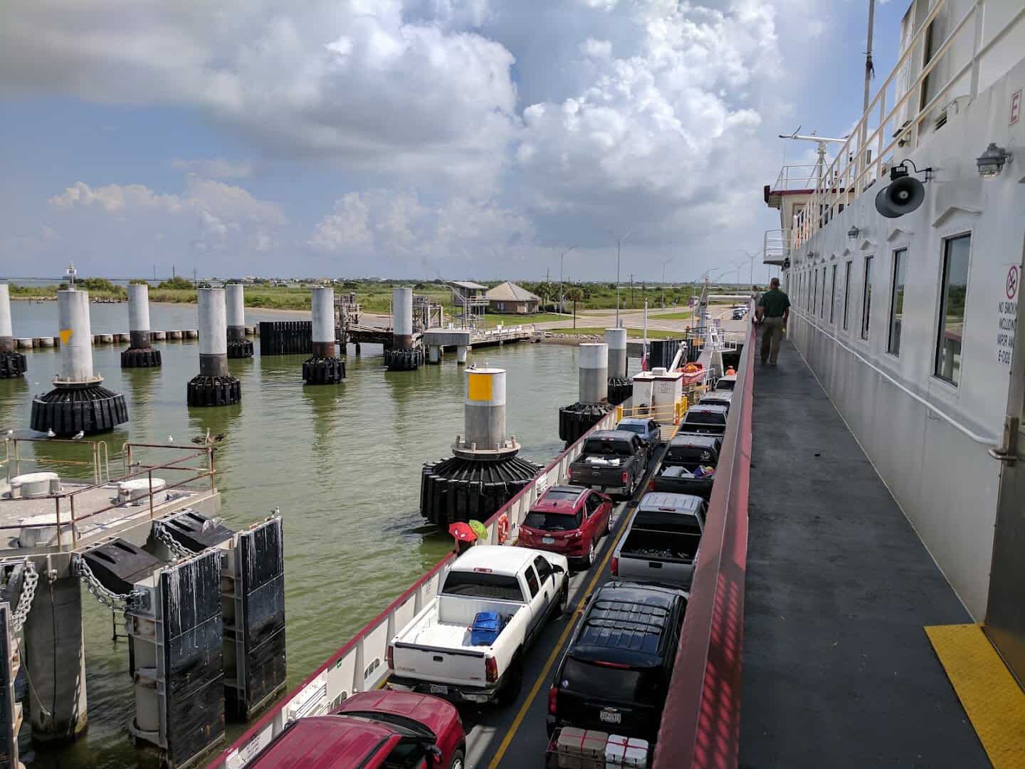
Plenty of people do exactly that just for the dolphins. Pets are welcome, but they have to stay inside your vehicle.
In an average year this little fleet carries more than 1.5 million vehicles and nearly 5 million passengers across the bay. Did you know? With advance notice, families can even scatter a loved one’s ashes from the stern. This crossing means something to people here.
Twenty-Seven Miles of Sand You Can Drive On
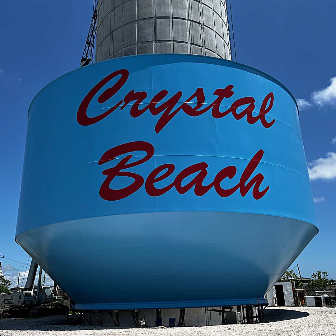
Roll off the ramp and you are in Port Bolivar, a fishing village that feels a world away from the Galveston Seawall. Keep going a few miles up Highway 87 and you reach Crystal Beach, the peninsula’s main community and the heart of its beach scene.
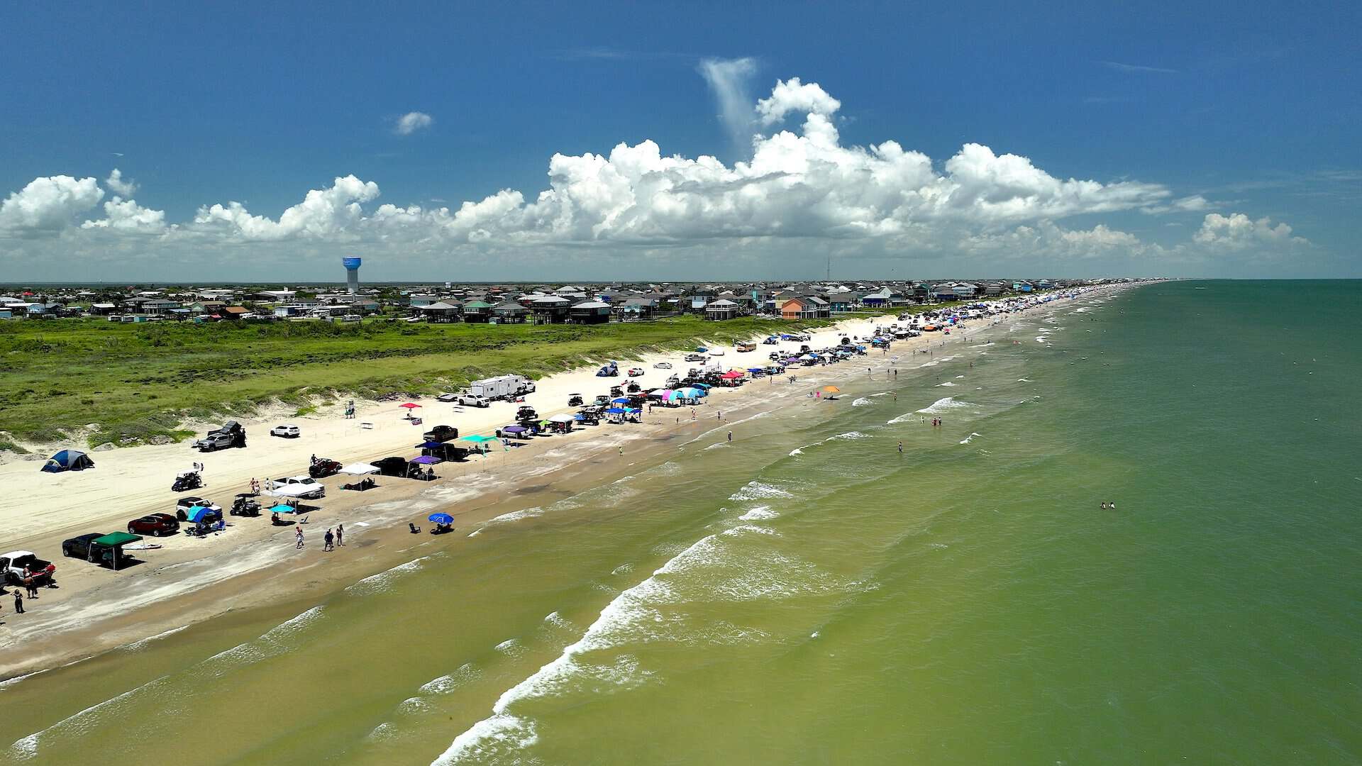
The part that surprises first-timers is that you can drive right onto the sand. Along most of the peninsula’s 27 miles of shoreline, families pull their trucks down to the water, set up canopies, and stay all day. Golf carts putter between beach houses on stilts.
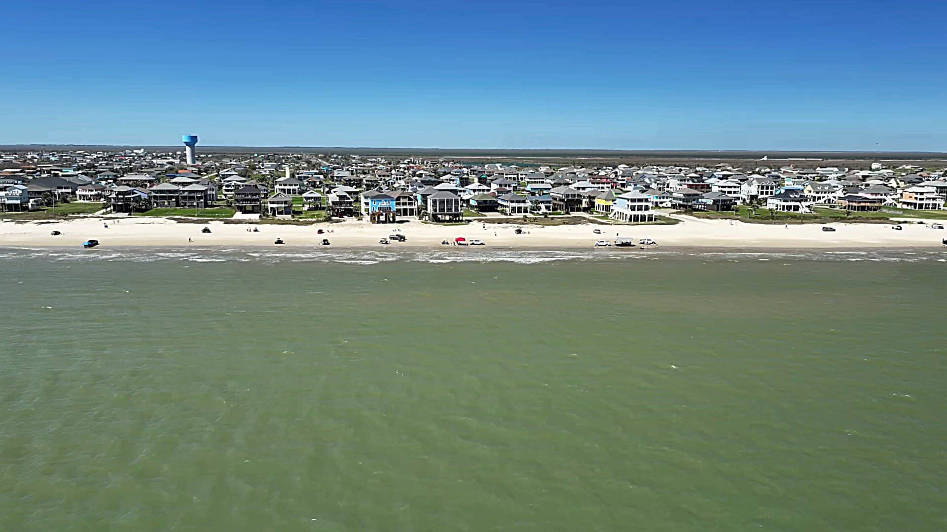
A Bolivar beach parking sticker runs $10 for the calendar year, or $5 if you buy it before the end of February. There are also free zones, including about 2.5 miles east of Rollover Pass. Beach campfires are allowed, which means sunset s’mores are on the table.
The beachcombing is better than you would expect. Shell hunters find lightning whelks and sand dollars after a good tide, and patient searchers turn up fossilized shark teeth. My advice is to walk the wrack line early, before anyone else is out.
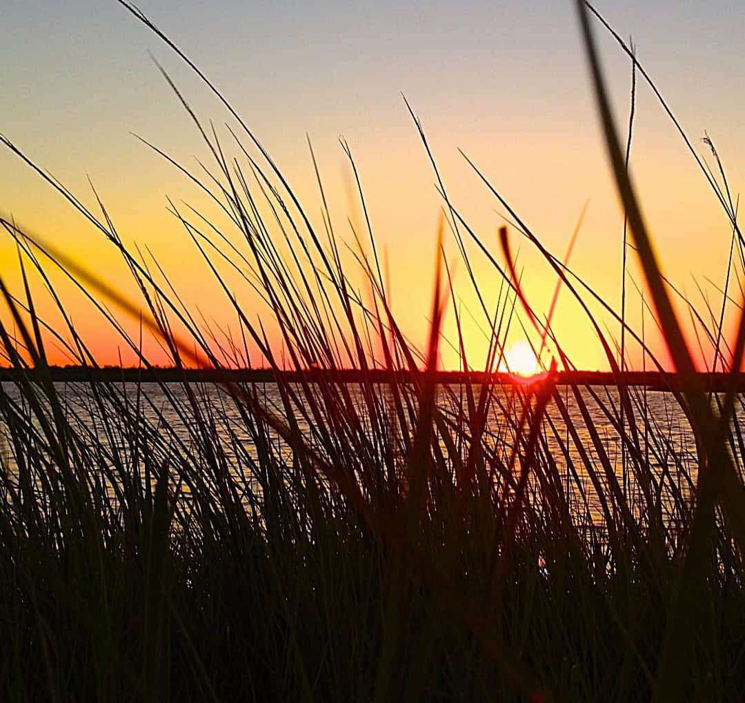
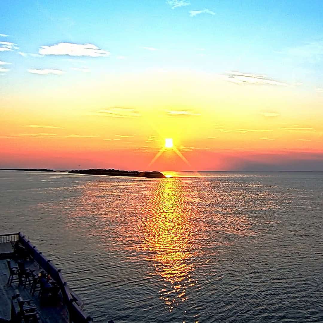
The sunsets here get talked about in reverent tones. The peninsula runs east to west, so the sun drops over the water behind Galveston, and the shallow bay on the north side turns orange and pink at once.
The Lighthouse That Sheltered 125 People
You cannot miss the Point Bolivar Lighthouse. It stands 117 feet tall, cast iron and painted a deep rusty black, right off Highway 87 a short drive from the ferry landing. It is the peninsula’s landmark and its best photo.
The first light here went up in 1852, built from cast iron shipped from a Baltimore foundry. Confederate forces pulled it down during the Civil War so it could not guide Union ships. The tower you see today was rebuilt in 1872.
Then came September 1900. When the deadliest hurricane in American history hit Galveston, at least 125 people waded through waist-deep water and climbed inside this tower. It held. Every one of them survived the night.
The lighthouse did it again in 1915, when winds hit 126 miles per hour and the top of the tower swayed a foot side to side. Sixty-one people rode out that storm inside its walls. It shined every night until it was retired on May 29, 1933.
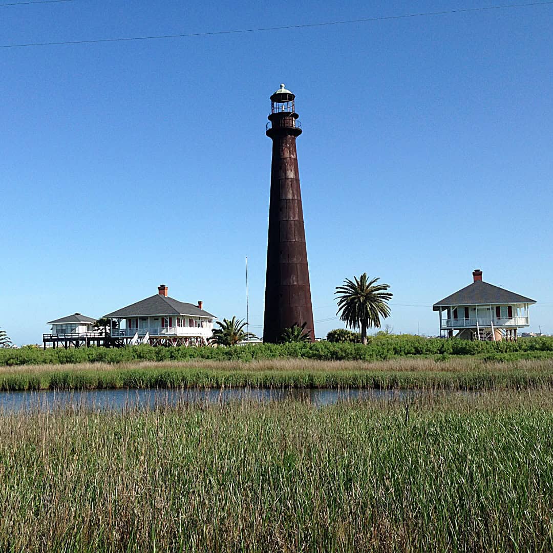
Since a 1947 auction, the lighthouse has been privately owned by descendants of E.V. Boyt and his sister Ila Maxwell, and it is closed to tours. Please respect the fence. The view from the road is the view, and it is a good one.
Birds by the Thousand at Bolivar Flats
Turn down Rettilon Road, near the west end of the peninsula, and you reach the Bolivar Flats Shorebird Sanctuary. This is the reason serious birders fly in from other countries. It is a Globally Important Bird Area and a Western Hemisphere Shorebird Reserve Network site of international importance.
The sanctuary is run by Houston Audubon, which started closing this stretch of beach to cars in the late 1980s under agreements with the Texas General Land Office and Galveston County.
In January 2026 the group announced it had finished buying the surrounding land, bringing the protected area to about 1,308 acres. Protected, as they put it, forever.
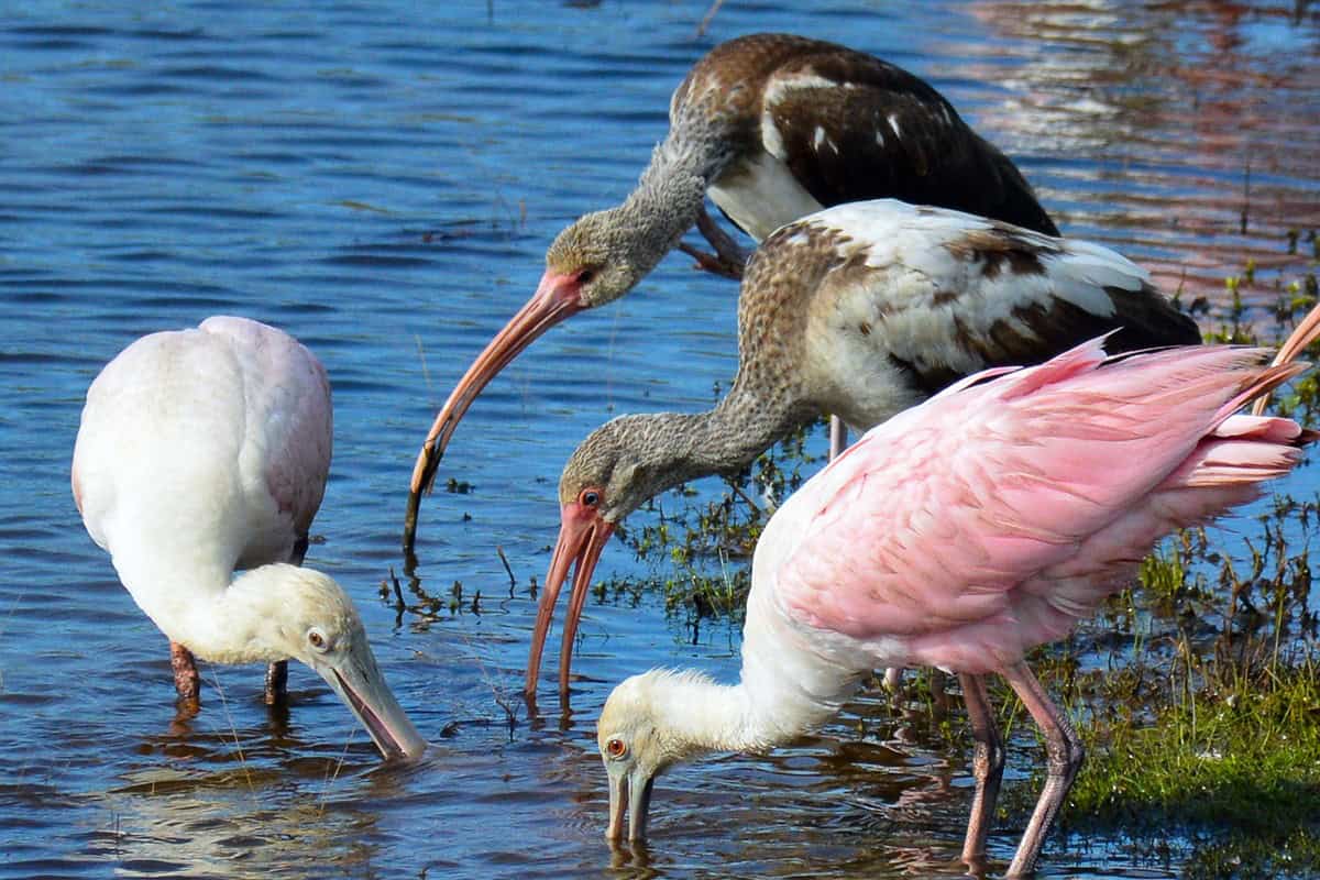
Around 25 shorebird species use the flats through the year, including endangered piping plovers and threatened snowy plovers that winter here. Add roseate spoonbills, great blue herons, avocets, and clouds of terns and skimmers, and the mudflats at low tide look alive.
The best light is the last hour before sunset, when the birds feed in the shallows and the whole flat goes gold. Bring binoculars and walk in past the vehicle barrier. I would happily spend a whole afternoon here with a thermos and a bird book.
Bunkers, a Red Petticoat, and Fort Travis
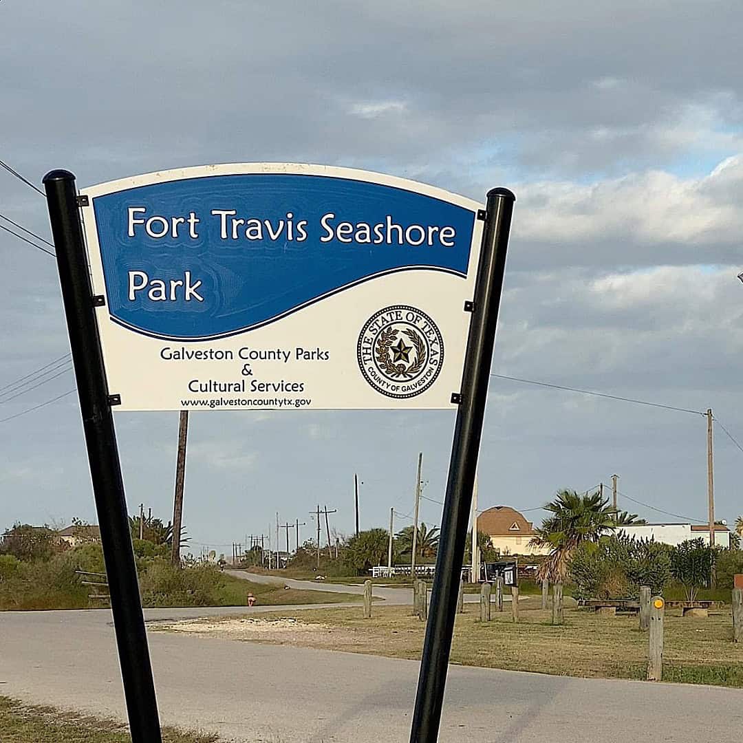
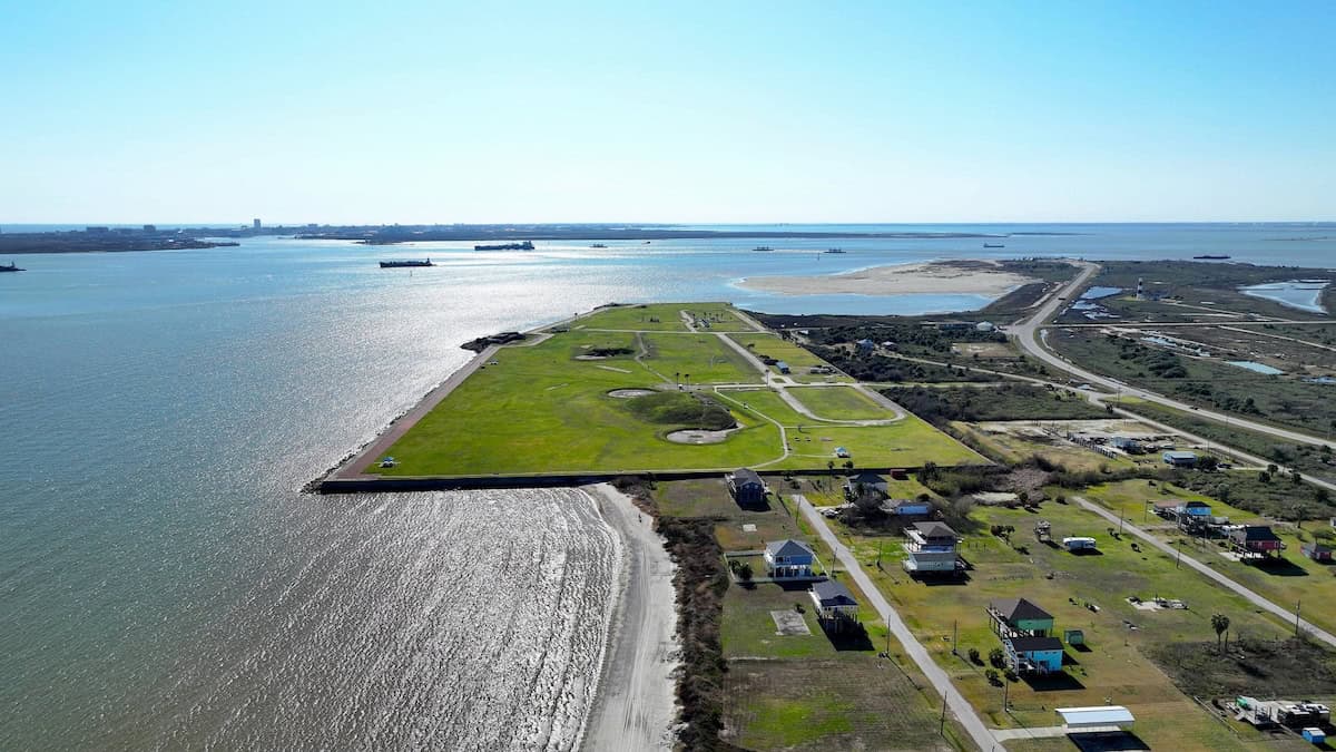
Between the ferry landing and the lighthouse sits Fort Travis Seashore Park, 60 acres of grassy mounds hiding concrete gun batteries. The federal government bought the first 97 acres here in 1898 and handed the fort to the coast artillery in October 1899.
Batteries Ernst and Davis went in first, Kimball followed in 1925, and Battery 236 was finished in 1943. After the 1900 storm, a 17-foot seawall was built on the Gulf side. During World War II, German prisoners of war were held here.
Galveston County bought the site in 1973 and turned it into a public park. Today you can picnic on top of the bunkers, fish from the shore, and camp overnight in an RV. The concrete corridors are cool even in August.
The site’s most famous story is older than any battery. In 1821, Jane Long, later called the Mother of Texas, was left at an earlier fort here while her husband sailed off.
With a rusty cannon and a few companions, she ran her red flannel petticoat up the flagpole so passing ships would think the fort was still manned. It worked.
A Brief History of the Peninsula and Its Ferry
The name goes back to 1816, when the Galveston-based privateer Louis-Michel Aury is credited with naming the point after Simon Bolivar, the South American liberator. Jane Long followed a few years later.
The Sea View Hotel, built at High Island in 1896 by Captain C.T. Cade, brought the first real tourists.
Ferry service began on April 12, 1930, with six daylight round trips a day run by the Southern States Transportation Company. Galveston County took over the boats next.
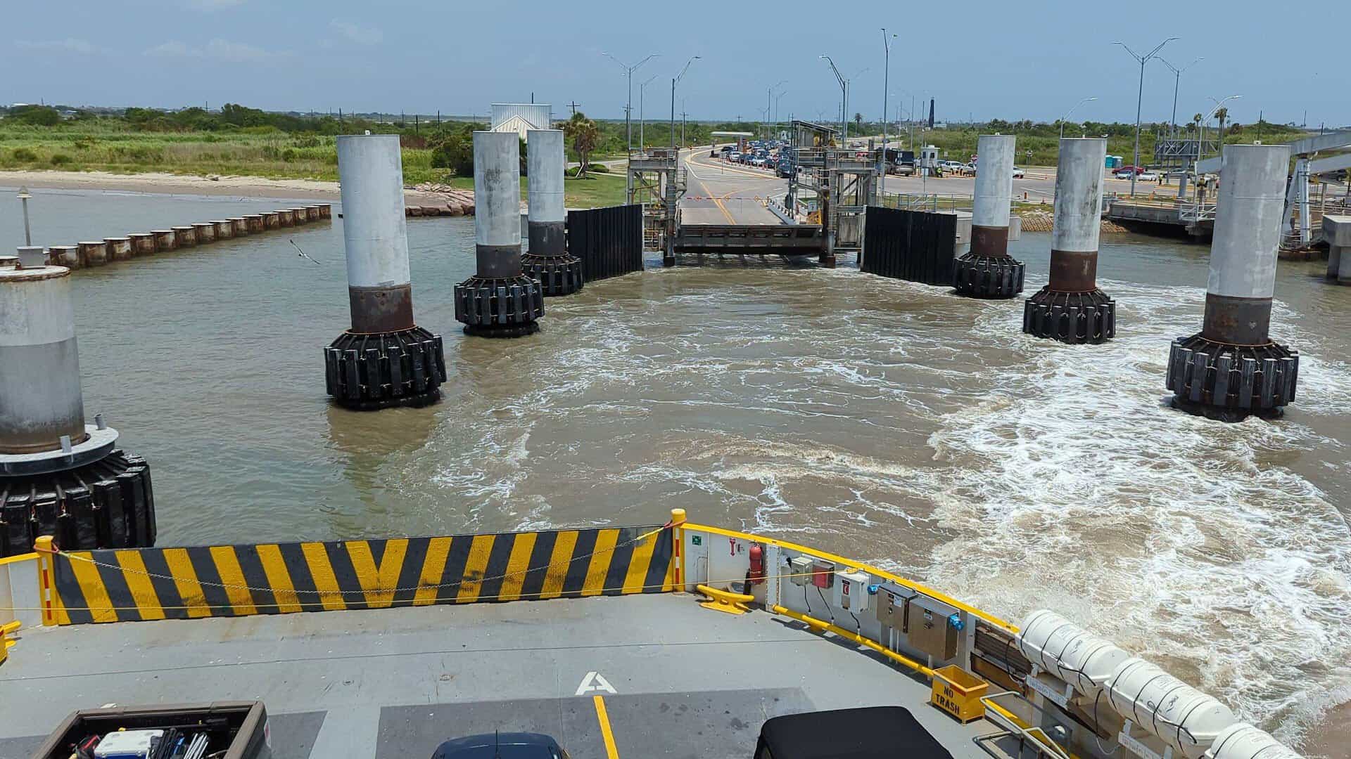
The State of Texas took over from the county on July 1, 1934. A small toll survived until 1950. It has been free ever since.
Crystal Beach grew up as a fishing and weekend-cabin community, and it still feels like one. Roughly 1,100 people live there full time, a number that swells many times over on a summer weekend. Gilchrist, farther east near Rollover Pass, is the peninsula’s fishing hub.
Tips for a Perfect Peninsula Day
Go early or go late. A weekday morning ferry usually means no line, and a sunset crossing back to Galveston is the best free show on the Gulf Coast. If the line looks long, park, walk on, and let the dolphins fill the wait.
Pack for the beach like you are driving to a picnic, because you are. Bring your own shade, water, and a trash bag. Download your maps before you cross, and plan on being pleasantly unreachable out at the flats.
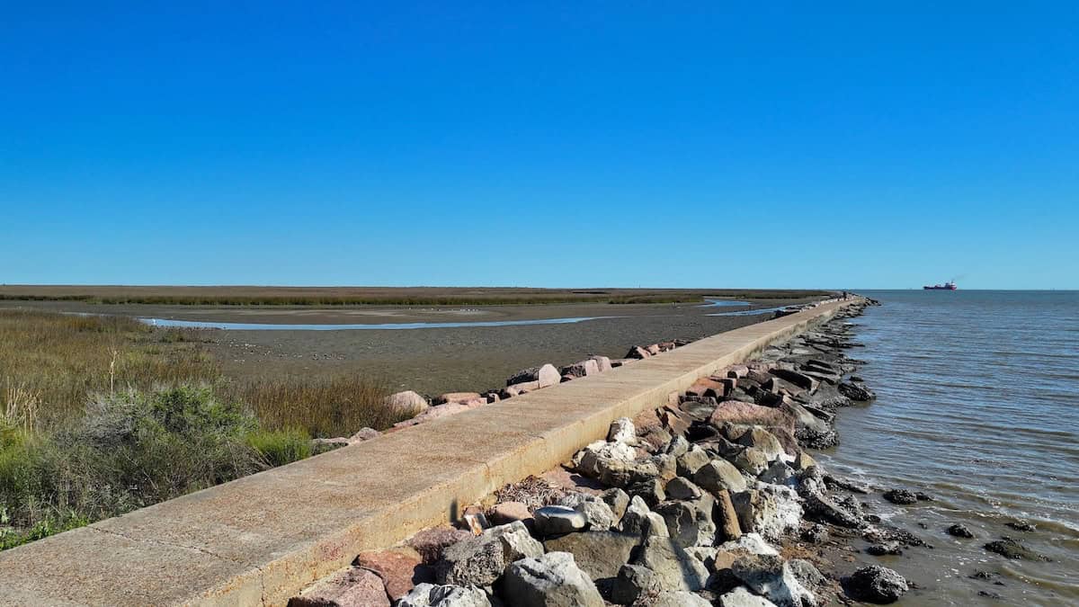
Fishing is the peninsula’s other religion. Surf casters work the beach for redfish, speckled trout, flounder and sheepshead, and the North Jetty near Bolivar Flats is a classic spot.
Rollover Pass, the legendary fishing cut near Gilchrist, is being reborn with a new 1,000-foot Gulf fishing pier and a bayside park, a project the state kicked off in early 2025.
Did you know? The whole peninsula can also be reached by road from the east, through High Island and Winnie. But nobody I know comes that way on purpose. The ferry is the point.
How to Get There
Where: Galveston Ferry Landing, 1000 Ferry Road N., Galveston, TX 77550. The peninsula-side terminal is at 123 State Highway 87, Port Bolivar, TX 77650. Ferry information: 409-795-2230.
From Houston, take I-45 south to Galveston, then follow Ferry Road (Highway 87) to the landing at the island’s east end. Boats leave around the clock; during the day they depart as often as traffic demands, usually every 30 minutes or better.
Point Bolivar Lighthouse is on Highway 87 in Port Bolivar, visible from the road. Fort Travis Seashore Park is at 900 Highway 87, Port Bolivar, open 8 a.m. to 8 p.m. daily.
Bolivar Flats Shorebird Sanctuary is at the end of Rettilon Road, off Highway 87, and Crystal Beach is about eight miles up the highway from the ferry.
Let the Boat Do the Driving
Some places make you earn them with a long drive. This one hands you a free boat ride, a dolphin escort, and a beach you can park on, then asks nothing in return but a little patience in line.
So roll the windows down, grab a loaf of bread for the gulls, and point your car at the ferry landing. The quiet side of Galveston Bay is waiting, and the best part of the trip starts the moment the ramp goes up behind you.
Featured image: Bolivar Peninsula Texas
Stella Raines
Editor-in-Chief
Stella brings over a decade of storytelling experience to TX Headlines. With roots in West Texas and a love for road trips, she leads the editorial team with an eye for the hidden stories that make Texas unforgettable.
More Stories
This Historic Texas Church Was Built by 100 Sicilian Families and Glows With Painted Arches
This Unusual Texas Store Is Packed With Treasures Confiscated at Airport Security
This Hilltop Texas Sculpture Garden Feels Like a Piece of the Holy Land

This Quiet East Texas Site Is a Hauntingly Beautiful Portal to an Ancient Ancestral World
Tags