This Epic Texas Rail-Trail Stretches 130 Miles Past 19 Small Towns and Over 100 Old Trestles
I have always been a sucker for an old railroad line. Not the trains so much as what they leave behind. Long after the last engine goes quiet, the route stays right where it was, a dead-straight ribbon someone cut through the country decades ago, too stubborn to disappear.
Here is the good part. Give one of those old lines enough time and it can turn into something better than a railroad ever was. That is exactly what happened across the top edge of Texas.
A whole string of abandoned rail corridors got stitched back together into one 130-mile ribbon that runs the entire way from the outskirts of Dallas to the doorstep of Arkansas. It is called the Northeast Texas Trail, and it is the longest rails-to-trails project in the state.
Below, let’s walk the length of it: the surfaces underfoot, the nineteen small towns strung along it like beads, the century-old bridges, and the strange little story of how a farm-country railroad became a path you can run, ride, or wander for days.
A Trail You Measure in Days, Not Miles
Most Texas trails you finish before lunch. This one you plan a weekend around, or a whole week.
The Northeast Texas Trail stretches roughly 130 miles across seven counties, from Farmersville in the west to New Boston in the east.
New Boston sits about twenty-three miles from Texarkana, close enough to the Red River that you are practically waving at Arkansas by the time you reach the far end.
When it is fully finished it will be the longest hike, bike, and equestrian trail in Texas, and the fourth longest of its kind in the whole country. That is no small claim for a path most Texans have never heard of.
You do not have to do the entire thing. Almost nobody does it in one go. The beauty of a trail this long is that every trailhead is a fresh starting line, and you pick the stretch that matches your legs and your mood that day.
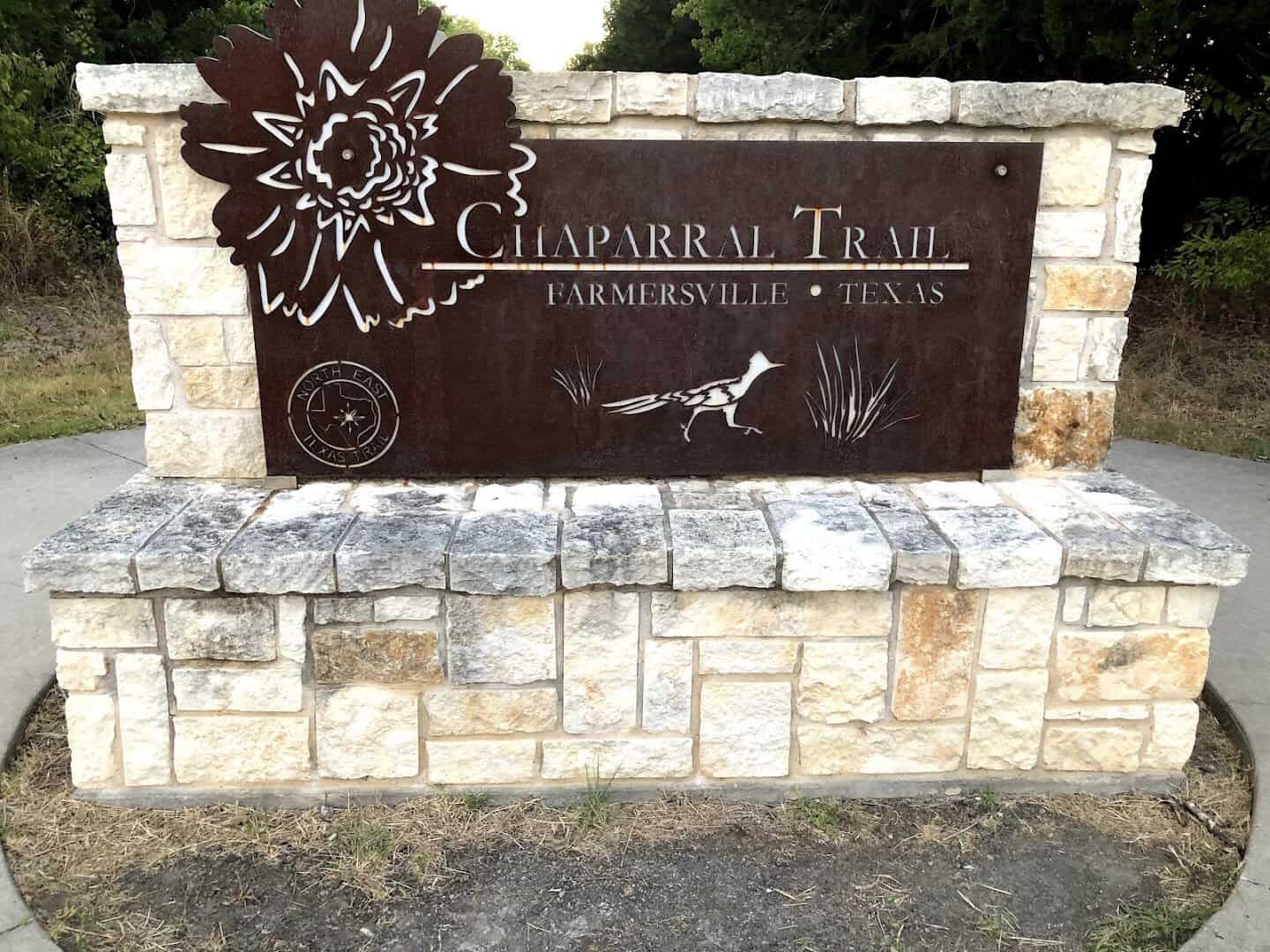
The most polished piece is the western end, sometimes called the Chaparral Rail Trail. It runs about thirty-six miles from Farmersville toward Paris and is the stretch most first-timers start with before working up to the wilder middle.
Every Surface Under the Sun
Half the fun here is that the trail keeps changing under your feet.
Near the towns, you get smooth pavement. The first few miles out of Farmersville are wide, shaded concrete with benches, the kind of easy going a family on training wheels can handle. Paris has its own paved stretch of nearly six miles over on the eastern half.
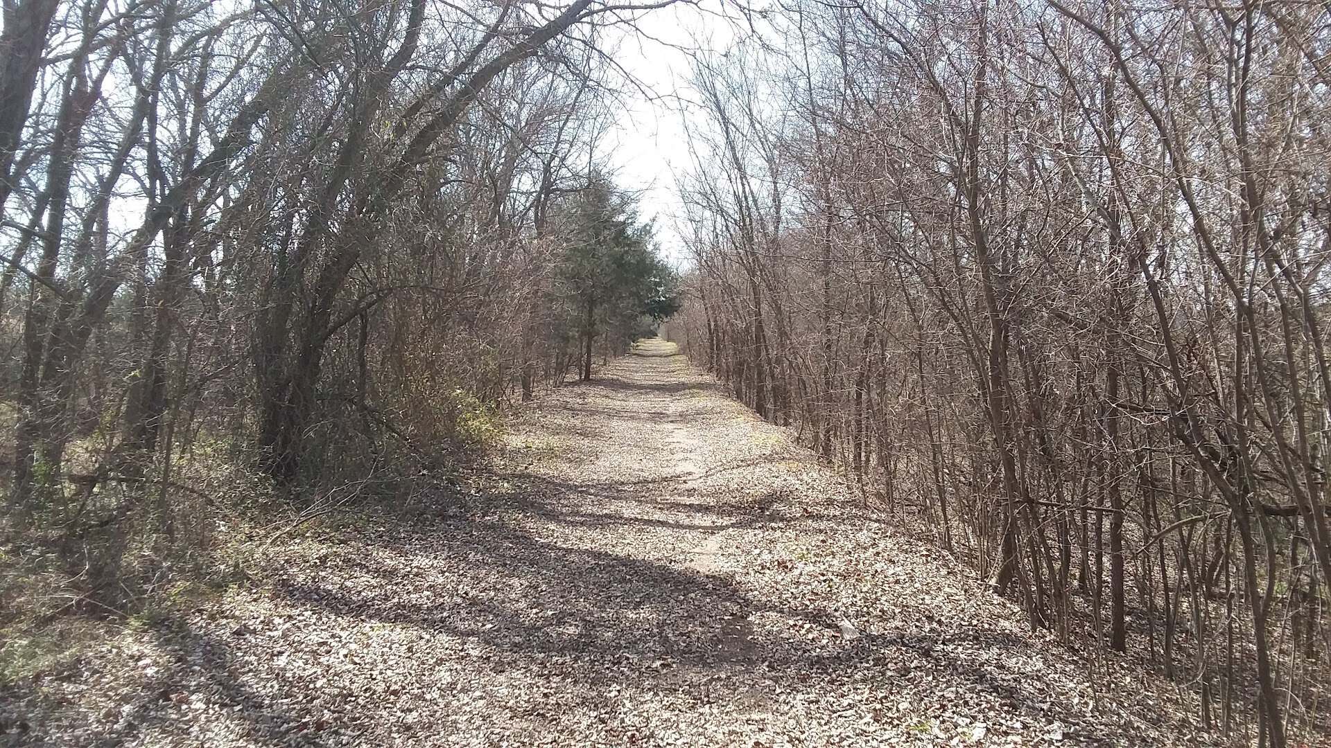
Between the towns, the surface loosens up. You will roll across crushed asphalt that crunches under the tires, packed decomposed granite, hard dirt, and the occasional patch of country gravel.
Mountain bikers tend to love the middle sections for exactly that reason, just enough texture to keep a ride honest without beating you up.
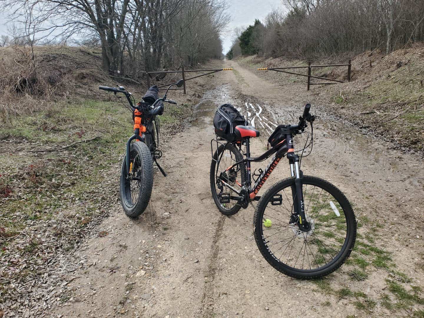
Runners get the same gift. A path that shifts from pavement to granite to shaded dirt keeps the miles from blurring together. There is a rhythm to it that turns almost meditative once you settle into your pace.
What ties it all together is the grade. This was a railroad, and trains hate hills, so the whole route stays gentle and flat by design. You get the long distance without the leg-burning climbs, which is a rare and wonderful thing in the outdoors.
Over a Hundred Bridges and the Creeks Below
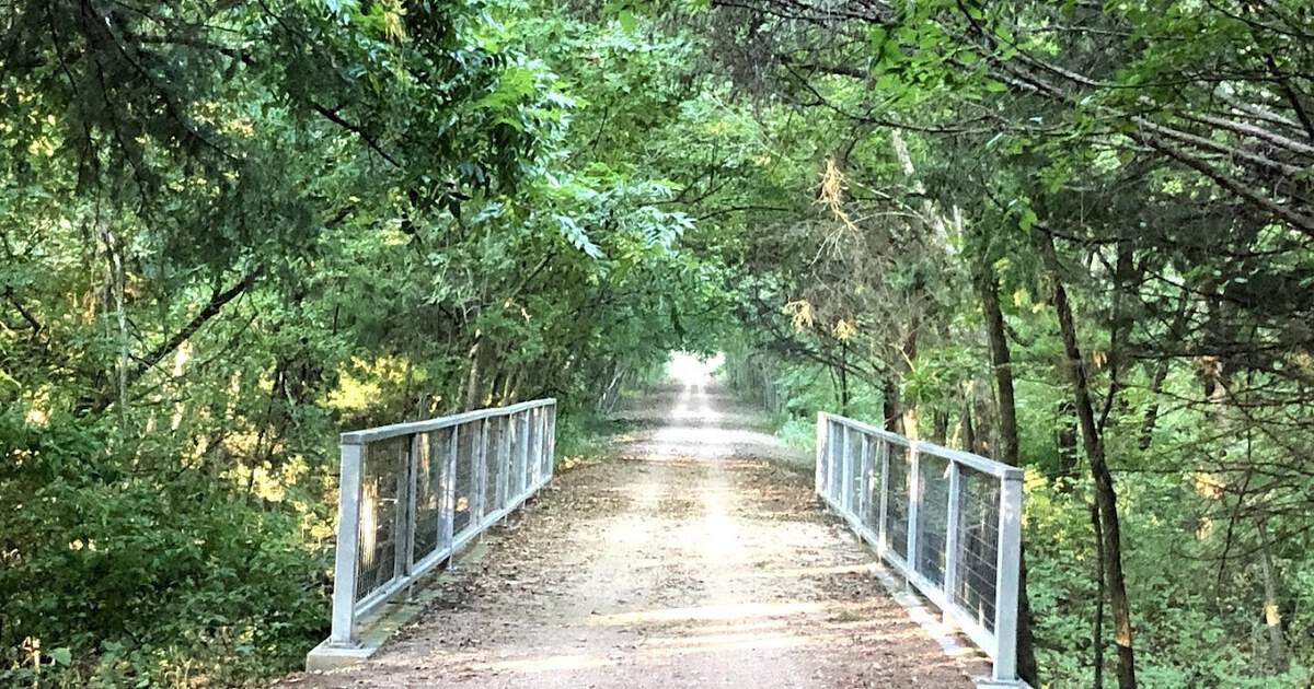
If one feature makes this trail feel like time travel, it is the bridges.
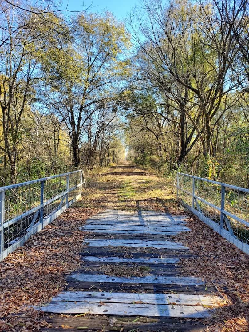
The corridor carries more than a hundred old rail bridges, most of them timber trestles that once held the weight of freight trains rolling through farm country.
Today you cross them on foot or by bike, with creek water sliding by underneath and cicadas doing their summer roar up in the trees.
A few of the crossings are long, skinny things that put you high above the water on old wooden decking. They are not fancy, and that is the charm. You are traveling the exact line the trains once did, only slower and with a far better view.
Stand on one for a minute and it is easy to picture what used to come around the bend. These were working structures, built to move cotton and cattle and grain. Now they carry runners, cyclists, and the occasional horse instead.
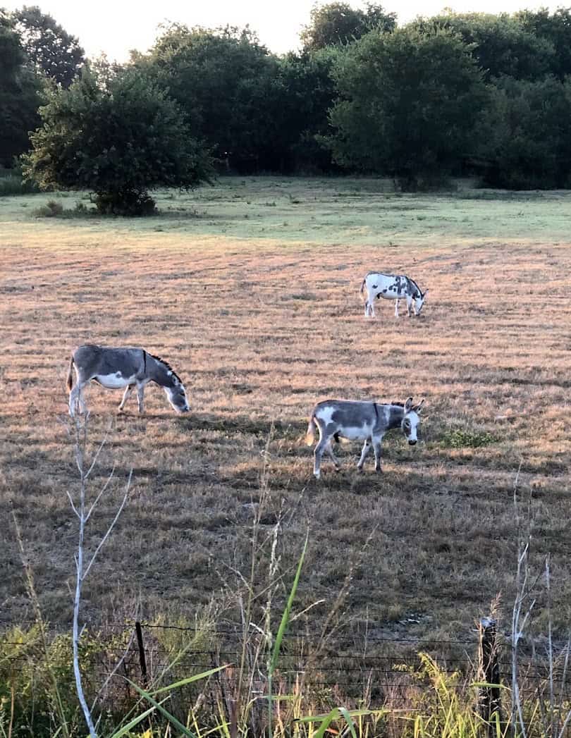
Come at golden hour and the whole corridor glows. Reviewers who ride the western sections talk about butterflies, cardinals flashing red through the brush, and horses watching from the pasture fences.
It is quiet in the best way, the kind of quiet you drive an hour out of the city just to find.
Nineteen Towns, Each With a Story
The trail links nineteen rural communities, and honestly, half the reason to go is the string of small towns you stumble into along the way.
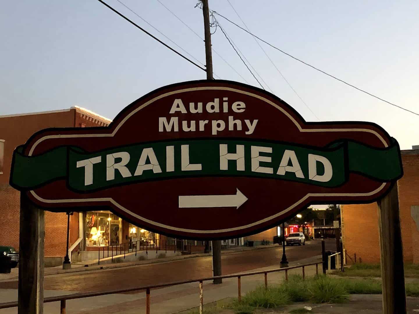
It begins in Farmersville at the Historic Onion Shed, a restored 1930s loading dock from the days when this was serious onion-shipping country.
The trailhead here honors Audie Murphy, the most decorated American soldier of World War II, who grew up in this corner of Hunt County. There is real history packed into the very first mile.
Roll east and the names get wonderfully Texan: Merit, Celeste, Wolfe City, Ladonia, Pecan Gap, Ben Franklin, Roxton.
Ladonia is a favorite among fossil hunters, who dig the nearby Fannin County riverbeds for ancient shark teeth and long-gone sea creatures. Wolfe City greets trail users with a genuine stop-and-chat welcome.
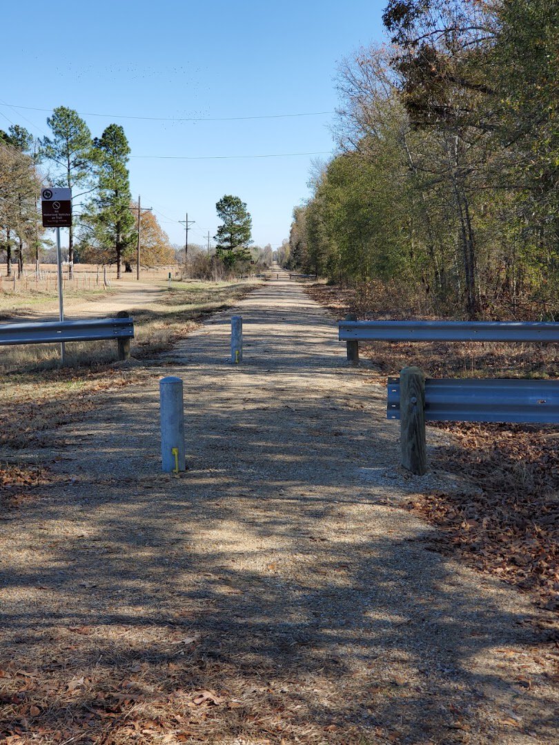
Then comes Paris, the biggest town on the route and the one everybody knows for its Eiffel Tower replica wearing a giant red cowboy hat. The trail feeds riders straight into town amenities here, which means real food, real coffee, and a soft bed if you want one.
Paris has also built out its own paved loop, the Trail de Paris, extending it phase by phase with state park grants. It makes a good place to break for a day and let your legs recover.
Past Paris the country opens up again through Reno, Blossom, Detroit, Bagwell, Clarksville, Annona, Avery, DeKalb, and Malta, before the trail finally rolls into New Boston at the eastern end.
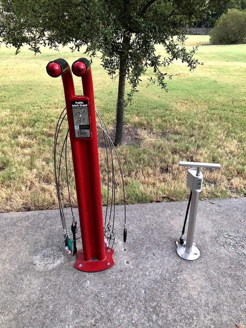
Each one is a chance to stop, refill a bottle, and see a slice of small-town Texas the interstate skips right past.
From Cotton Belt to Cycling Path
The trail exists because the railroads that built it eventually left, and a stubborn bunch of locals refused to let the corridor vanish with them.
The western half, from Farmersville toward Paris, was built in 1886 by the Gulf, Colorado and Santa Fe Railway. The eastern half, from Paris to New Boston, is older still, laid down in 1876 by the Texas and Pacific Railway.
That eastern line was part of railroad tycoon Jay Gould’s grand transcontinental branch, connecting Texarkana with Sherman. For well over a century these tracks hauled the cotton, grain, and cattle of northeast Texas out to the wider world.
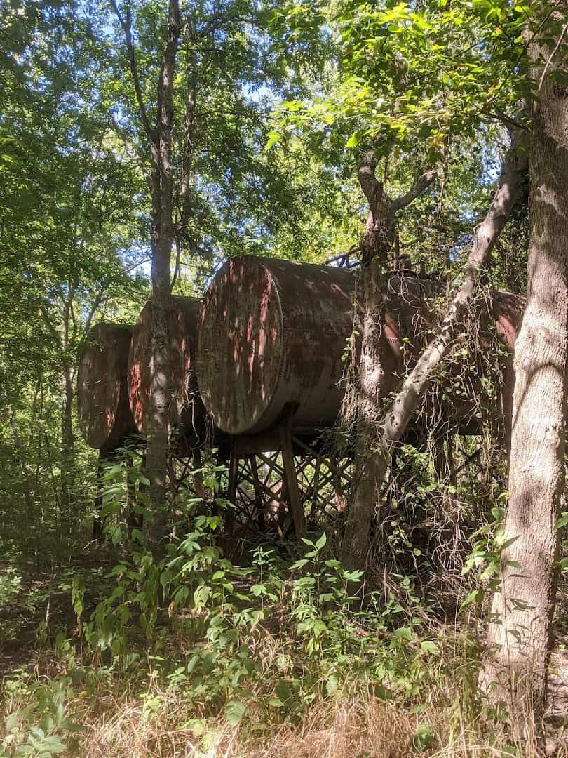
By the mid-1990s the freight business had dried up and the rails fell silent. Rather than tear the corridors apart, the owners reached for a federal tool called railbanking.
Created under the National Trails System Act, railbanking preserves an old rail route as a public trail while holding it in reserve for possible future rail service. It is the quiet legal trick that saved this whole corridor from the scrap heap.
The pieces came together one at a time. Chaparral Rails to Trails took on the Paris-to-Farmersville stretch in 1995, a Paris development group secured the middle section in 1996, and the national Rails-to-Trails Conservancy railbanked the eastern end in 1997.
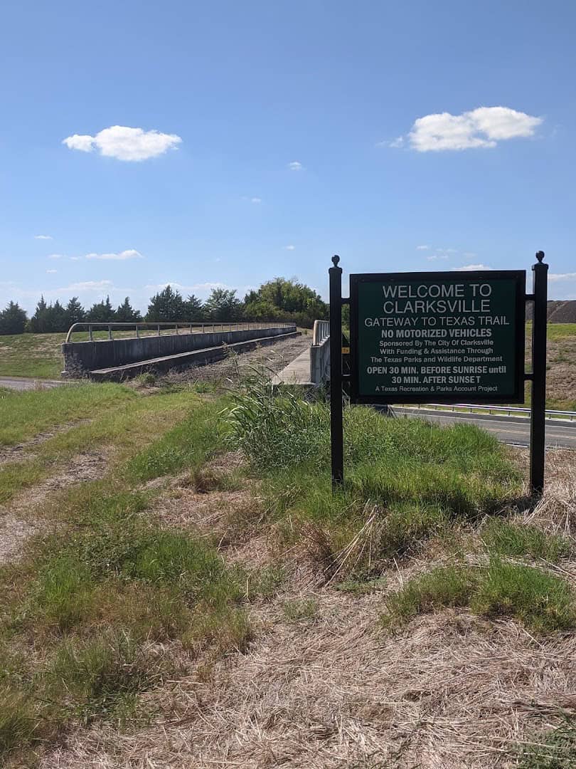
In 2012 the volunteers formed the NorthEast Texas Trail Coalition, a nonprofit that has been knitting the corridor into one continuous path ever since.
Their proudest day came on May 18, 2013, at a celebration they called “Meet Me in the Middle,” when crews riding in from both ends met near the center and joined the halves with golden railroad spikes.
How to Ride It Right
A trail this long rewards a little planning, and the good news is you can shape the day around exactly what you want out of it.
Want the easiest, most polished experience? Start at the Onion Shed in Farmersville and ride the paved section, or do the same on the paved miles around Paris. Both are family-friendly and beginner-proof.
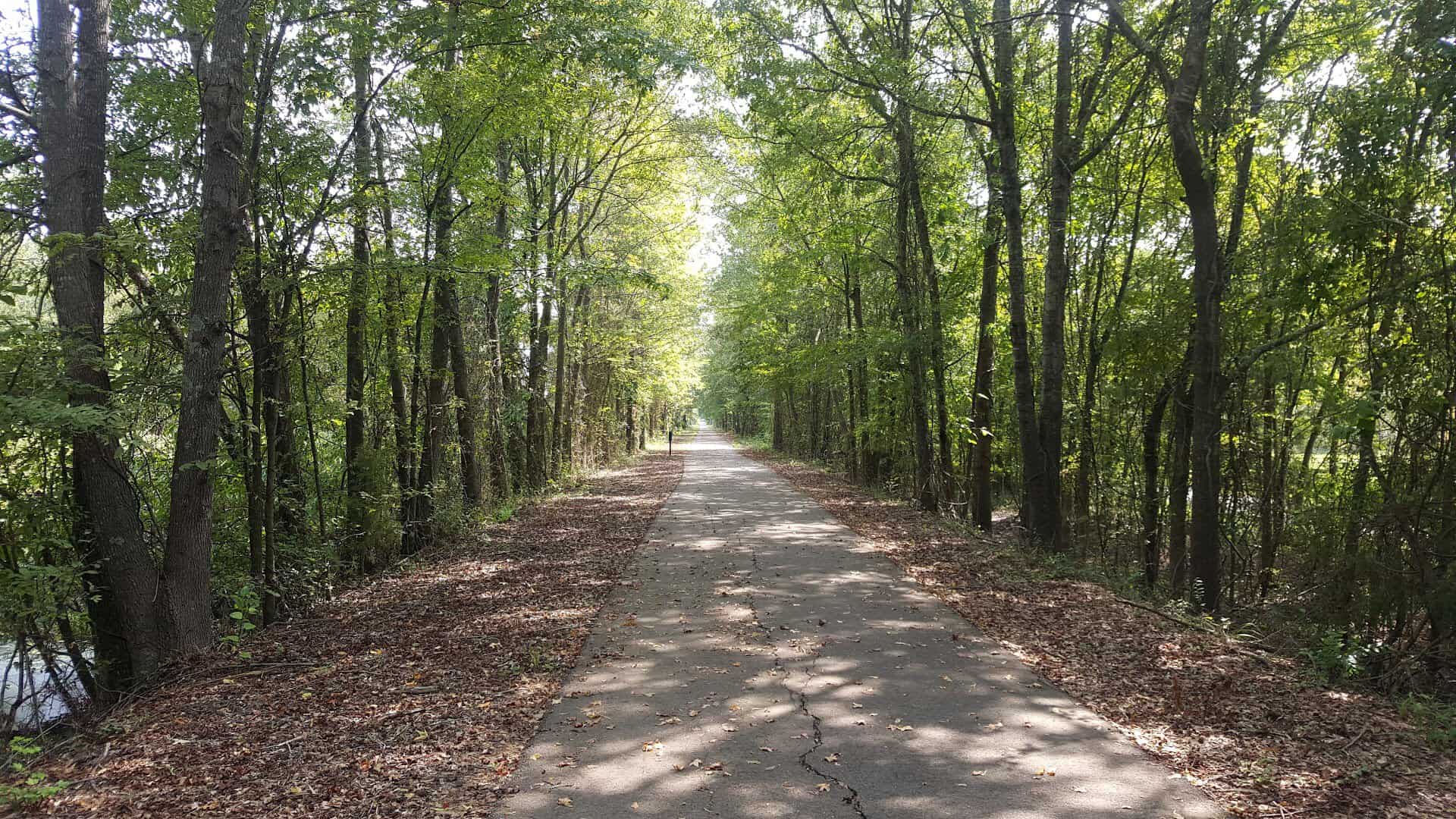
Craving more of a backcountry feel? Aim for the middle stretches on granite and dirt, where the towns thin out and the corridor turns remote and forested. This is where the long-distance riders and the solitude-seekers go to disappear for a while.
The sweet spot on the calendar is spring and fall, when the prairie greens up or the oaks turn and the Texas heat backs off. Save the summer miles for early morning, before the sun means business.
Pro tip: carry more water than you think you need and treat the small towns as your resupply points, because the gaps between them can run long and country services are thin.
Pack a repair kit, tell someone your route, and check the coalition’s current trail conditions before a big push. Volunteers keep improving the surface season by season, so a stretch that was rough last year may be smooth this one.
Did you know? A trail like this quietly puts money back into the towns it touches. Cyclists stop for lunch, hikers book a room, and a corridor that once carried freight now carries visitors instead, a slower kind of travel that keeps winning people over.
How to Get There
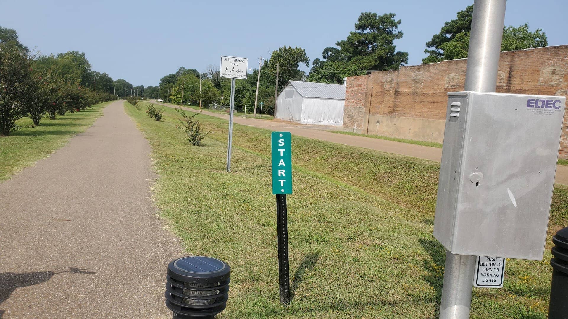
The most popular jumping-off point is the western trailhead in Farmersville, an easy hour or so northeast of Dallas. There is free parking, and the paved trail rolls out right from the historic downtown.
Where: Historic Onion Shed Trailhead, 154 S Main St, Farmersville, TX 75442. The eastern end anchors at the T&P Trailhead Park in New Boston, TX 75570, with dozens of access points in the towns between.
Point the Bike North and Go
There is something honest about a trail like this. No entrance gate, no gift shop, no crowds elbowing for the same photo. Just a long, patient line across the top of Texas, laid down by railroad men and reclaimed by people who love a good, quiet ride.
So air up the tires, lace up the shoes, or saddle the horse. Pick a town, park the car, and let one of the longest trails in America pull you slowly through the forgotten corners of northeast Texas.
You will come home with sore legs, a camera full of old bridges, and a list of little towns you cannot wait to go back and see.
Featured image: Valerie Kero via Northeast Texas Trail

Stella Raines
Editor-in-Chief
Stella brings over a decade of storytelling experience to TX Headlines. With roots in West Texas and a love for road trips, she leads the editorial team with an eye for the hidden stories that make Texas unforgettable.
More Stories
This Hidden Texas Trail Leads to Limestone Waterfalls and Spring Wildflowers
This Rugged Texas Ranch Has Nearly 30 Miles of Twisting Mountain Bike Trails That Keep Riders Coming Back
This Crystal-Clear West Texas Pool Is the World’s Largest Spring-Fed Swimming Hole, and It Stays 72 Degrees Year-Round
This Adventurous Texas Cavern Hides Glowing Blue Pools 180 Feet Underground
Tags