This Spring-Fed Texas Lake Is So Clear You Can See the Bottom, and Locals Intend to Keep It That Way
I have a rule about Texas lakes. If I cannot see my own feet standing waist-deep, I am not going in past my knees. Most of our reservoirs fail that test by June. Brown water, brown bottom, a brown film on the boat.
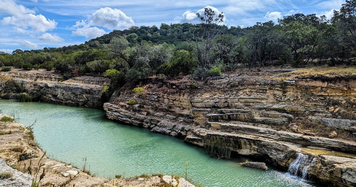
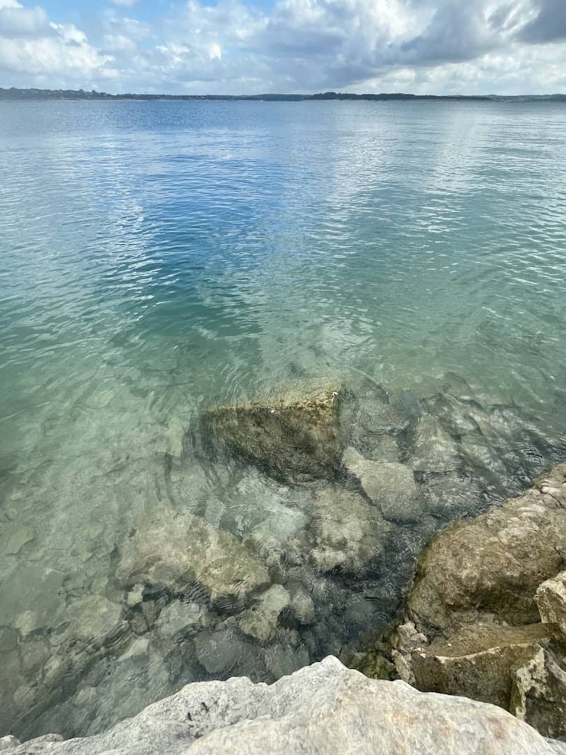
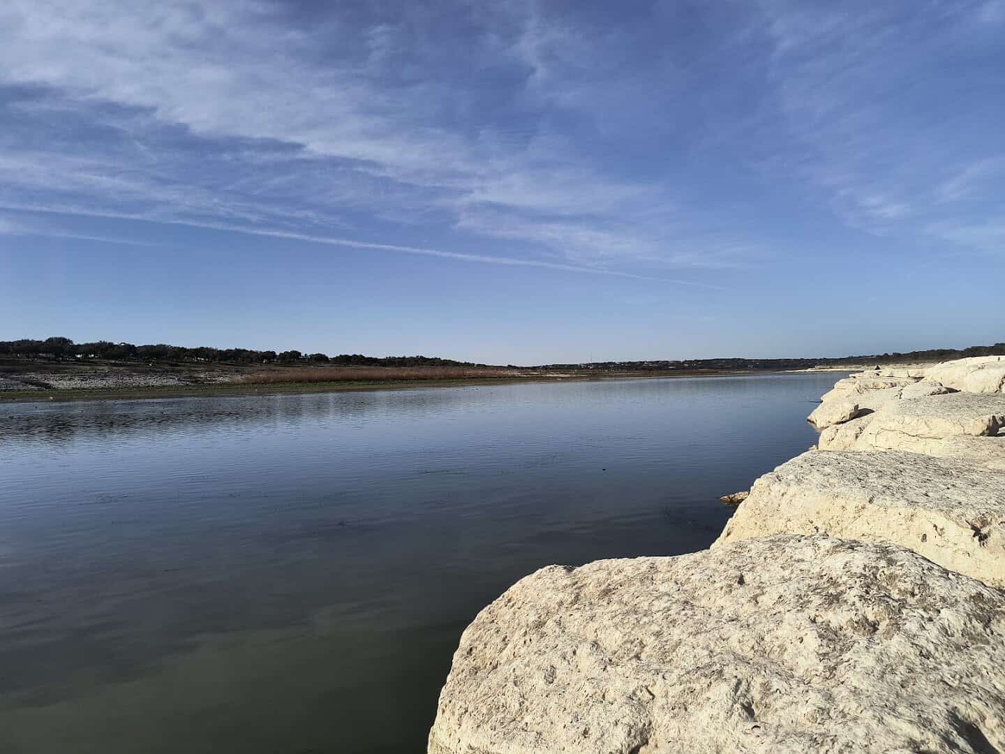
A lake that stays turquoise all summer gets my full attention. Canyon Lake, in the Hill Country northwest of New Braunfels, is that lake. The Guadalupe River fills it with spring water strained through limestone, leaving clear turquoise water you can look straight down through from a kayak.
Locals call it the Water Recreation Capital of Texas. What I love most is where this story is headed. The people who live around this lake know how rare it is, and they have organized to keep it that way.
Below, you will find why the water is so clear, where to swim in it, what it costs, and how the neighbors are protecting it.
Why Is the Water So Clear?
Start with the river. The Guadalupe begins as springs in the western Hill Country and runs over limestone most of the way to the lake. Limestone filters water instead of muddying it the way clay and topsoil do. By the time the river reaches Canyon Dam, it carries little silt.
Then there is the shape of the lake itself. Canyon Lake is deep, more than 120 feet at its deepest point, with steep rock walls along much of its length. Deep water over a rocky bottom does not churn up sediment every time the wind picks up.
Shallow, muddy lakes go brown in a breeze. This one does not.
The Guadalupe-Blanco River Authority, which manages the water, describes it as low in dissolved solids. That is the technical way of saying there is not much floating in it. The plain version is what you see from the shore: the bottom, in blue-green detail, several feet down.
Did you know? Scuba divers treat Canyon Lake as one of the better freshwater dive spots in the state. On a good day they report 20 feet or more of visibility. Divers drop down along rock ledges and swim through flooded timber that has stood underwater since the 1960s.
The Swim Beaches Where You Can See Your Toes
My pick for a first swim is Comal Park, on the south shore near Startzville. It is 116 acres of lakefront with a big sandy swim beach, more than 60 picnic sites, and limestone bluffs at the far end that make the water look even bluer.
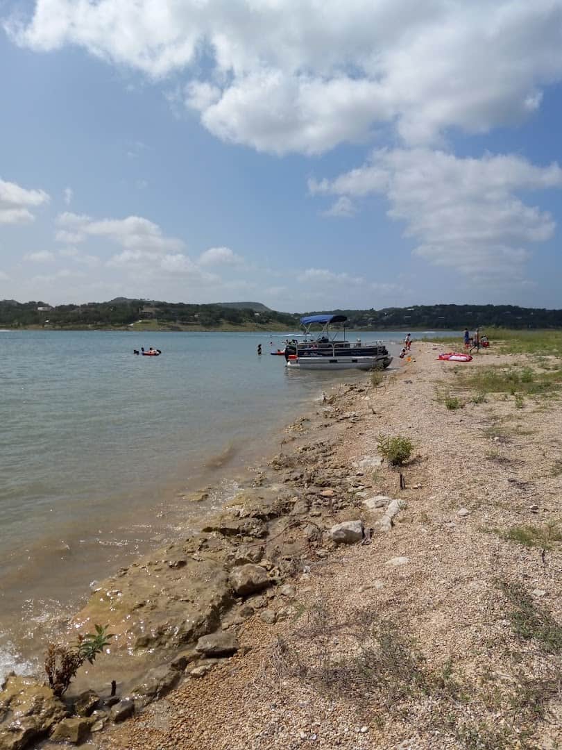
Wade in and look down. Your toes will still be there.
Comal Park is run by WORD, the Water Oriented Recreation District of Comal County, and it opens March 1 through October 31. From April to September the gates open at 8 a.m. and close at 7:30 p.m., with last entry at 6. The shoulder months run shorter hours.
The rest of the park earns the day, too. There is a disc golf course, a 1.2-mile walking trail, sand volleyball, a playground, community grills, and a hammock station strung between the trees. I would bring a book, a cooler, and no plan at all.
On the north shore, Canyon Park has two more swim beaches, named with great imagination Swim Beach #1 and Swim Beach #2. They are smaller and quieter than the one at Comal Park, which is exactly the point. If the south shore fills up on a Saturday, head here.
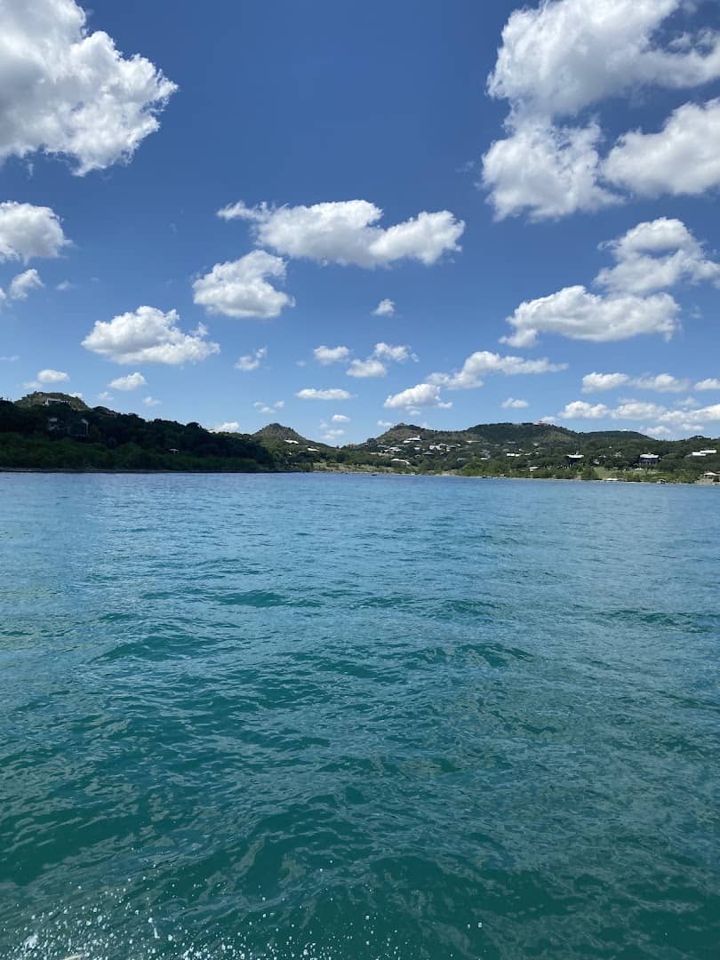
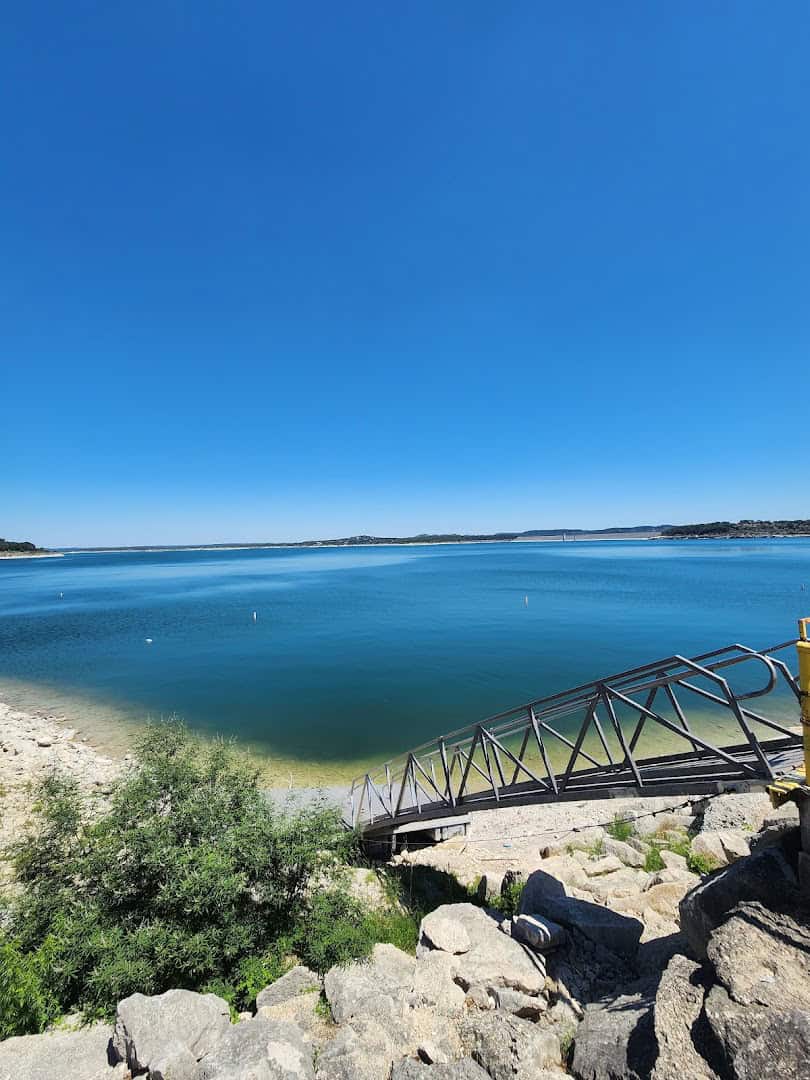
Overlook Park, beside the dam, is the place for a slow evening walk. Stroll the top of the dam, watch the boats come in, and get the widest view of that turquoise on the whole lake. The slope to the water is steep, so treat it as a lookout.
One reviewer on Tripadvisor summed up the reaction most first-timers have at Overlook Park, writing that she was amazed “water this turquoise/blue and clear exists in Texas and a lake to boot!” That is the whole sales pitch, and it is not an exaggeration.
Kayaks, Paddleboards, and a Lake Built for Looking Down
The best way to see the bottom is from on top of it. Paddle Canyon Lake is the official rental outfit at Comal Park’s swim beach, with single and tandem kayaks and stand-up paddleboards you can book ahead at paddleboardtexas.com.
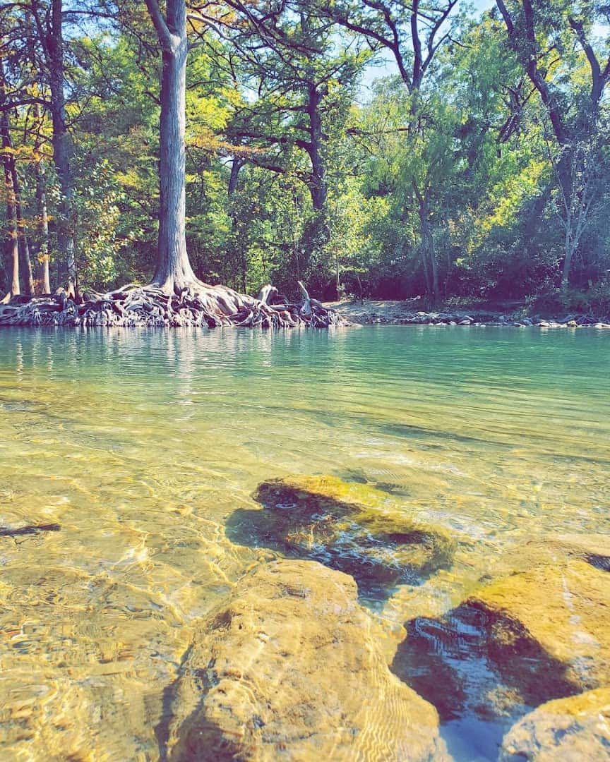
Push off from the sand and glide over the drop-off. It feels like flying over a pale green floor.
Go early. On calm mornings the surface turns to glass, fog often hangs over the water until the sun burns it off, and the boat traffic has not started. That is the hour the lake looks most like the Caribbean and least like Texas.
Bigger toys live at the marinas. Canyon Lake Marina and Cranes Mill Marina both rent boats and jet skis, and the public boat ramps around the shoreline cost nothing to use. Wakeboarders and water skiers get the wide open middle. Paddlers get the coves.
Fishing is serious business here. The lake holds largemouth bass, striped bass, white bass, and catfish, and the cold water released below the dam supports a year-round trout fishery on the Guadalupe. Trout in Texas, in August. I still find that hard to believe.
Where the Lake Came From
Canyon Lake is not natural, and does not pretend to be. The U.S. Army Corps of Engineers broke ground on Canyon Dam on June 27, 1958, after decades of Guadalupe floods made the case for a brake on the river. Tecon Corporation of Dallas built it.
The dam is a rolled earthfill wall that rises 224 feet above the old riverbed, the tallest earthen dam the Corps has built in Texas. Water began backing up behind it on June 16, 1964. The lake was dedicated in 1966 and reached its full conservation level in 1968.
Today the lake covers roughly 8,200 acres at full pool and wraps around some 80 miles of shoreline. Six small communities ring it: Canyon City, Cranes Mill, Hancock, Fischer, Sattler, and Startzville. Together they make up the place the map simply calls Canyon Lake, Texas.
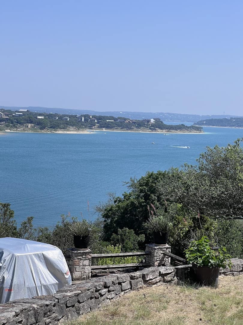
The Corps owns the dam and runs a string of parks along the water. The Guadalupe-Blanco River Authority manages the water itself, from hydropower to drinking supply. WORD handles the busiest day-use parks. Three agencies keep this lake running, and all three have kept it clear.
The Gorge the Flood Left Behind
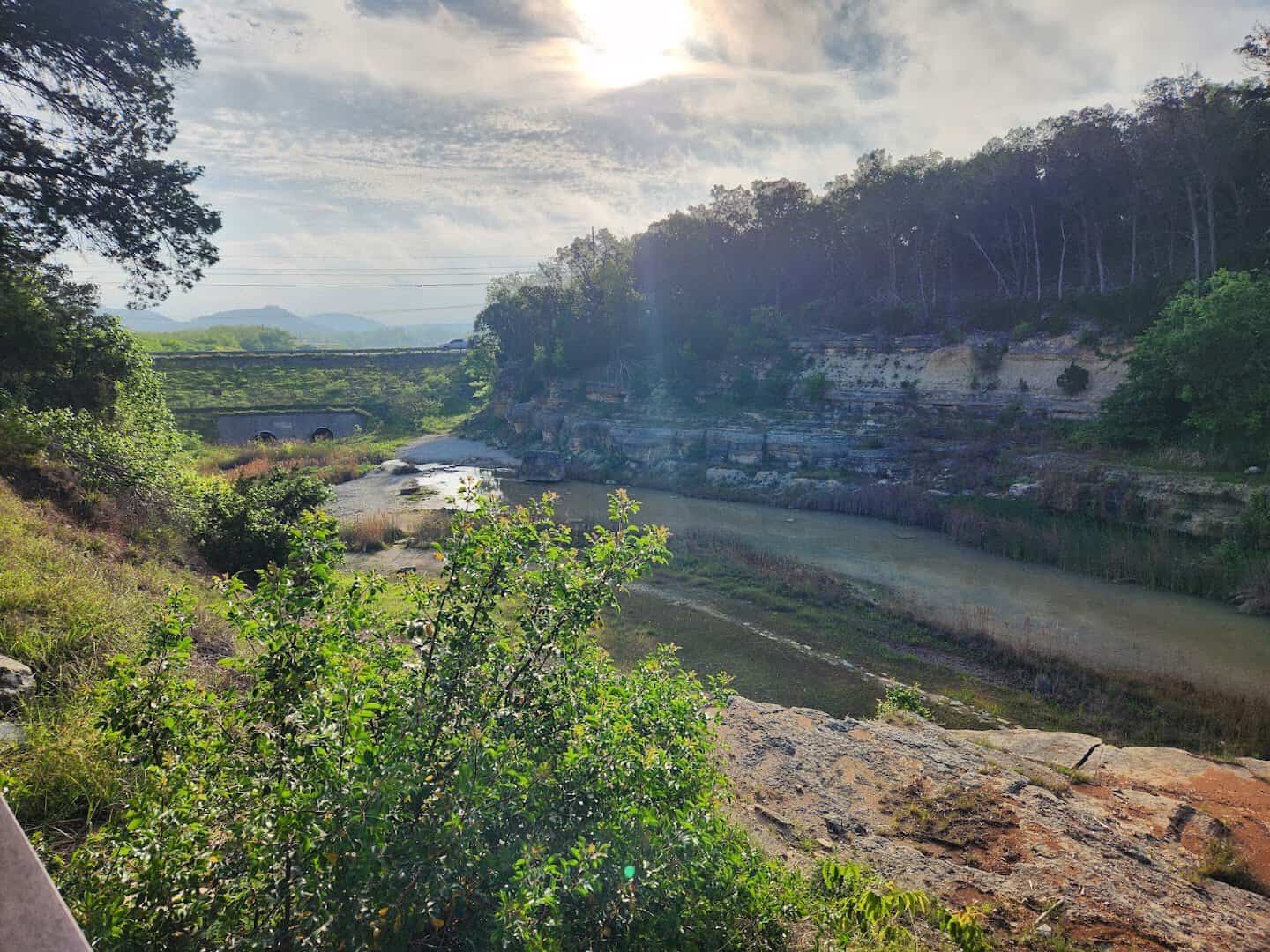
In July 2002, a storm dropped so much rain on the Hill Country that the lake rose more than seven feet above its spillway. Water poured over for about six weeks. In its first three days, it carved a limestone gorge about a mile long and over 50 feet deep.
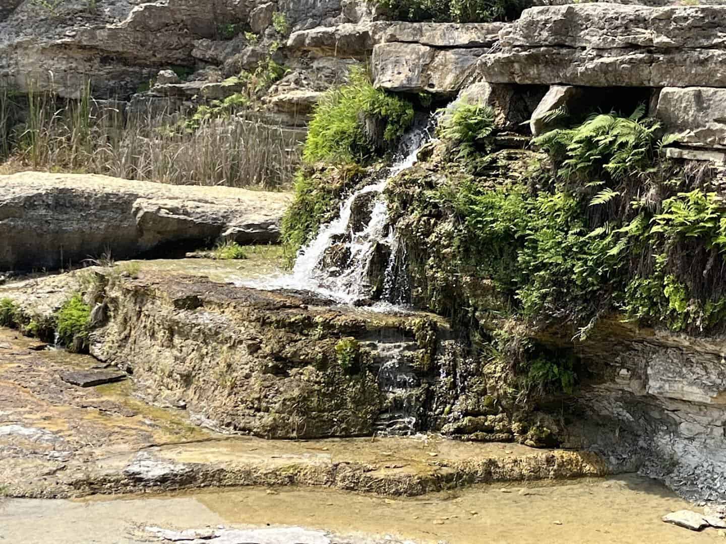
That gorge is now one of the most remarkable geology sites in Texas. The flood stripped away the topsoil and exposed rock that is 111 million years old, complete with fossils and dinosaur tracks. Geologists study it as a rare example of how fast a canyon can form.
The answer, it turns out, is three days.
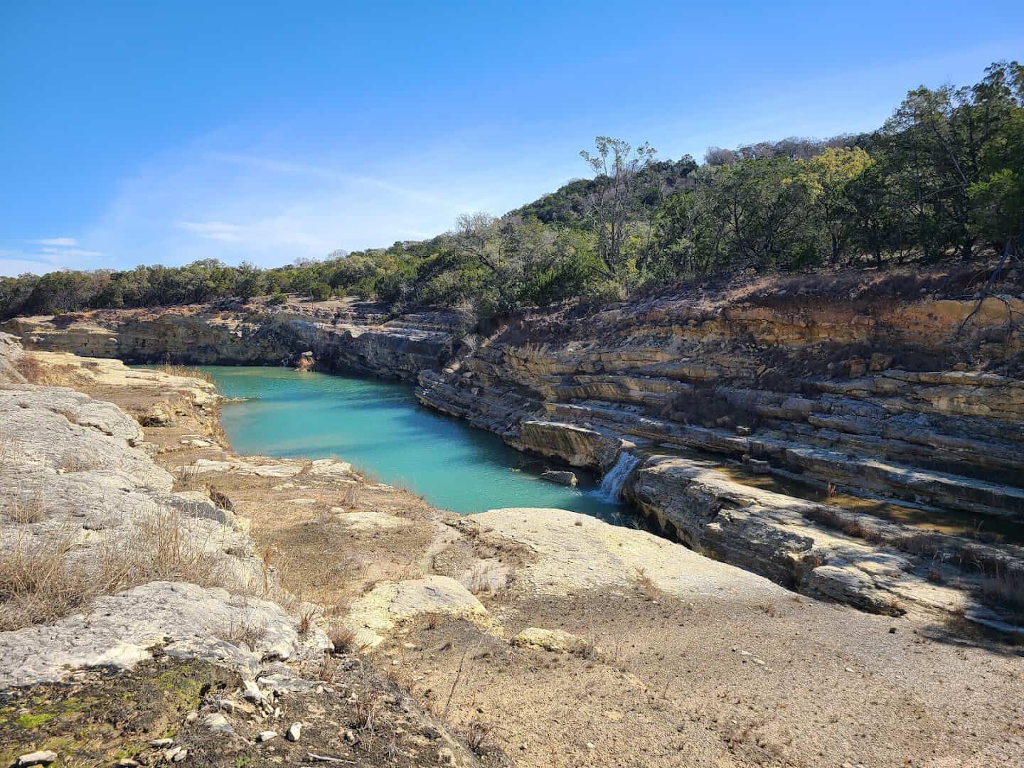
You can walk it. The Gorge Preservation Society, working with the river authority since 2005, guides visitors along a marked route through the canyon. Entry is $5 per person age 12 and up, free for younger kids. Guided three-hour tours run $20, and 90-minute tours run $15.
Pro tip: wear real shoes with grip, carry more water than you think you need, and leave the dog at home. Pets are not allowed, and neither is collecting rocks or fossils. Look all you want. Take only photos.
The Neighbors Who Intend to Keep It Clear
The part of this story I keep coming back to is the people. Most lakes get loved to death. Development creeps up the shoreline, runoff follows, and a decade later the turquoise has turned to tea.
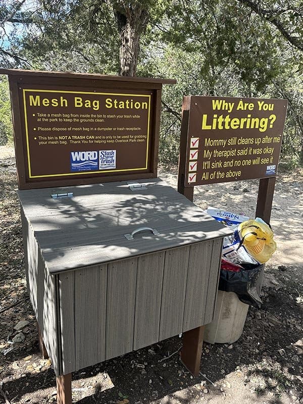
The people around Canyon Lake have watched that happen elsewhere in Texas, and they have decided it will not happen here.
This year, more than 500 residents packed a public hearing at Canyon Lake High School to ask the state’s environmental agency to think carefully about what gets discharged into the lake’s watershed. One resident’s petition gathered more than 1,800 signatures. By every account, it was a full room.
Their state senator listened. Sen. Donna Campbell wrote to the Texas Commission on Environmental Quality asking it to evaluate whether Canyon Lake’s watershed has the protections it needs as the Hill Country grows. Lake Travis and Lake Austin already carry special watershed rules. The neighbors here would like the same.
The river authority has been doing its own quiet work for years. Since 2013 it has applied alum treatments that bind up phosphorus and hold golden algae in check, and it runs a source water protection program that watches the whole watershed.
Add a community that reports problems the moment it sees them, and you have a lake with plenty of guardians.
I find that genuinely moving. It is less a fight than a promise. They are saying, in one voice, that a lake this clear is worth the trouble of keeping. When you swim here, you are swimming in the result of that decision.
Beyond the Shoreline
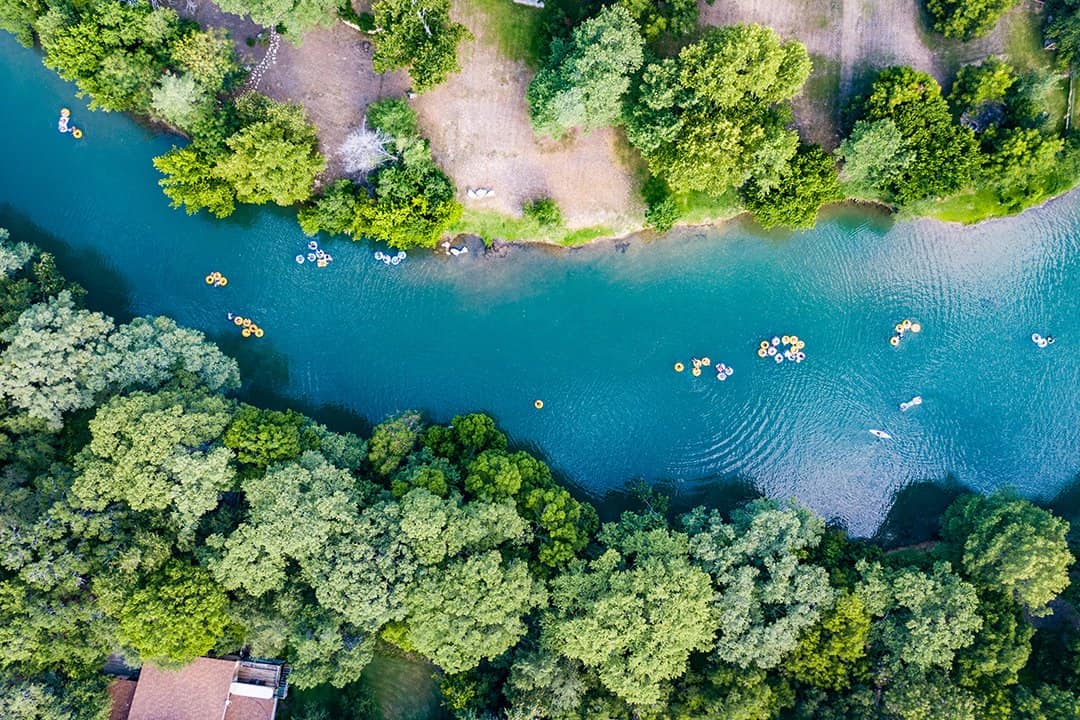
Below the dam, the Guadalupe turns into one of the best river-tubing stretches in Texas. The cold water released from the bottom of the lake keeps the river refreshing even in the dog days, and the Horseshoe loop near Sattler is the classic float. Outfitters line the river road.
Gruene and New Braunfels sit just downstream if you want a dance hall, German sausage, and a stroll after your swim. Wimberley and its own swimming holes are a short drive north.
But I would keep it simple. Swim the lake in the morning, float the river in the afternoon, and be asleep by ten.
Cranes Mill Park, Potters Creek Park, and North Park all offer lakeside campsites, and North Park is the one the scuba crowd prefers. RV parks and rental cabins tuck into nearly every cove. The lake looks even better at sunrise from a tent flap.
How to Get There
Canyon Lake sits in northern Comal County, about 16 miles northwest of New Braunfels, 35 miles from San Antonio, and 40 miles from Austin. FM 306 runs along the north shore and FM 2673 along the south, and nearly every park is a short turn off one of them.
Where: Comal Park, 1178 Comal Park Road, Canyon Lake, TX 78133, for the south shore swim beach and kayak rentals. Canyon Park, Canyon Park Road, Canyon Lake, TX 78133, for the north shore swim beaches.
Overlook Park is at 601 Corps of Engineers Road, Canyon Lake, TX 78133, for the dam walk and the big view. Canyon Lake Gorge is at 16029 S Access Road, Canyon Lake, TX 78133, with tours booked at canyongorgetours.com.
Comal Park charges $5 per vehicle for Comal County residents and $20 for everyone else, plus a small card fee, and it is first come, first served. On summer weekends, arrive before 9 a.m. or expect to circle for parking.
The gorge is open Monday through Saturday, 9 a.m. to 4 p.m., with last entry at 3:30.
Go See the Bottom for Yourself
There are bigger lakes in Texas and there are closer ones. I do not know another where you can float over 40 feet of water and count the rocks on the bottom, and where the people on the shore have decided, together, that it will stay that way.
So pack the goggles, book the kayak, and get to the beach before the fog lifts. Then look down. That clear blue-green floor is the whole reason to go, and thanks to the folks who live there, it will be waiting for you next summer, too.
Featured image: Tina Ware via Canyon Lake Gorge

Stella Raines
Editor-in-Chief
Stella brings over a decade of storytelling experience to TX Headlines. With roots in West Texas and a love for road trips, she leads the editorial team with an eye for the hidden stories that make Texas unforgettable.
More Stories
These 12 Dog-Friendly Texas Beaches Belong on Every Pet Parent’s List
This Rugged Texas Ranch Is Laced With Twisting Mountain Bike Trails That Keep Riders Coming Back
These 10 Peaceful Texas Walking Trails Are Perfect for Seniors
This Remote 1-Mile Texas Trail Is One of the Most Unusual Hikes in the State
Tags