13 Alpine Lake Hikes That End at Water This Blue
I have a rule about mountain lakes: the harder the climb, the better the payoff. Every switchback is a toll, and the toll gets paid at the top, all at once, when the trees fall away and the water shows up.
And not just any water. I mean cold alpine blue, the kind that looks fake in photos and somehow looks faker in person. It comes from glaciers grinding rock into dust so fine it hangs in the water and throws the light back at you.
Below are thirteen hikes across the country that all end the same way, at a lake worth every step. They run from an hour’s stroll to a full committing day, so pick your effort and lace up.
I have spread them from the Tetons to the White Mountains on purpose. Alpine lakes are not a Western secret. Ten states, thirteen trailheads, and one shared reward waiting past the last stretch of trees.
1. Delta Lake, Wyoming
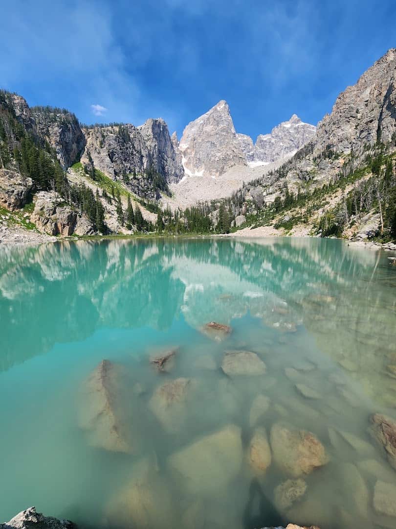
Some lakes make you work off the map. Delta sits in the Tetons on a rough social trail that branches off the Amphitheater Lake route, so you scramble a boulder field to reach it. About 7.5 miles round trip, roughly 2,300 feet of climbing.
The reward is a jolt. Glacial flour turns the water a hard turquoise, and the Grand Teton’s east face rises straight out of the far shore. I have wanted to stand there since the first time I saw a photo and assumed it was edited.
This one is not for total beginners. The route is unmarked, so download a track, watch your footing on the loose boulders, and give yourself a full day. The moment the color appears through the rocks makes every careful step worth it.
Go early. The Lupine Meadows lot fills before dawn in summer, and afternoon storms roll the high peaks fast. Pack real snacks too, because that boulder scramble asks more of your legs than the mileage suggests.
Where: Lupine Meadows Trailhead, Grand Teton National Park, near Jackson, Wyoming. Reach it off Teton Park Road.
2. Avalanche Lake, Montana
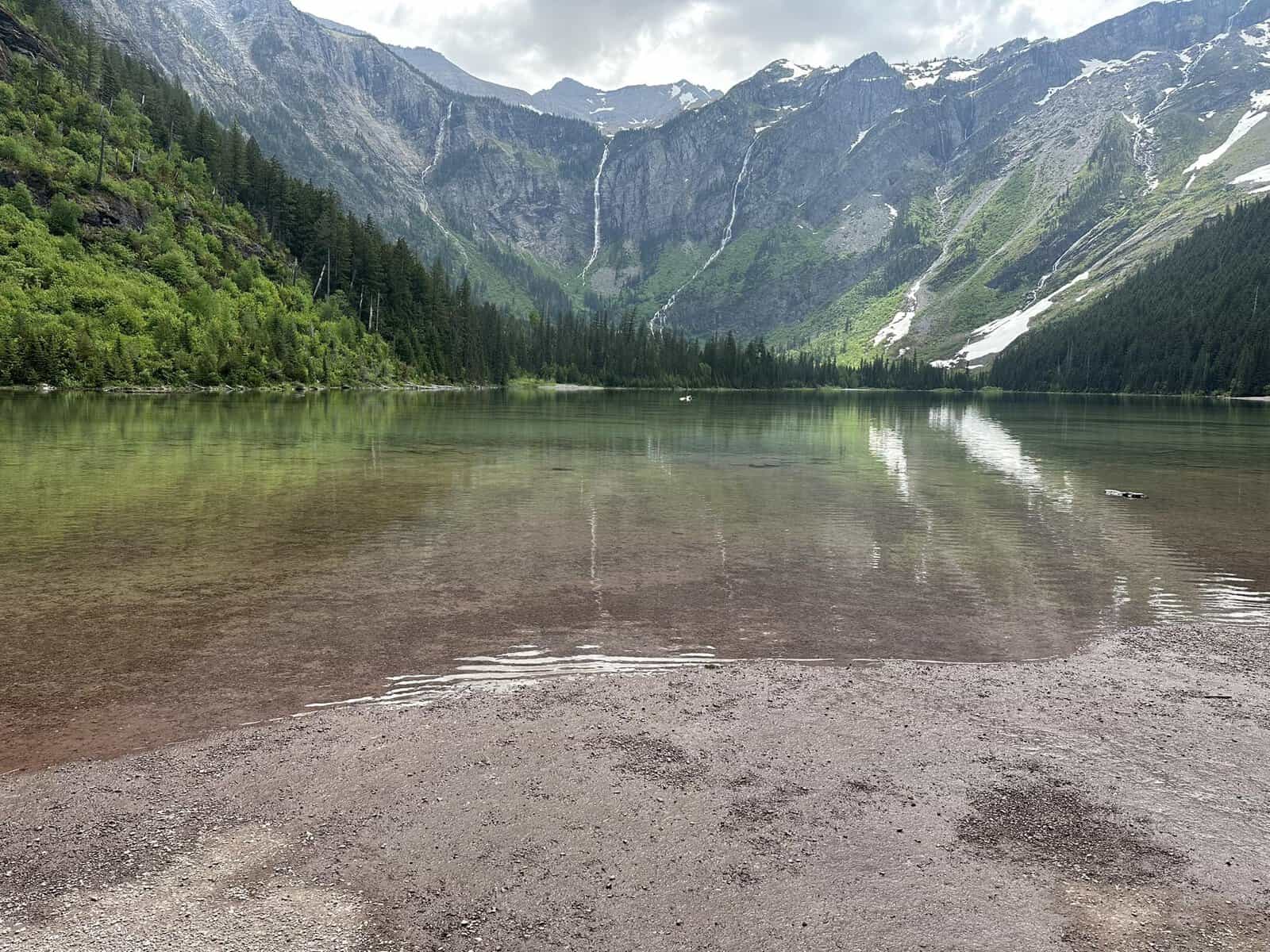
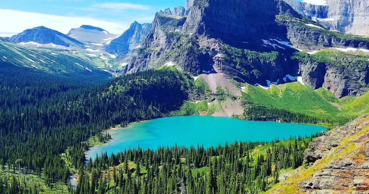
Not every alpine lake makes you earn it with a full day. Avalanche Lake starts on the Trail of the Cedars boardwalk in Glacier National Park, then follows a rushing gorge to a green pool ringed by cliffs. About 5.9 miles round trip.
Waterfalls pour off the headwall from the snowfields high on Bearhat Mountain, so many that you lose count. It is one of the most beginner-friendly big payoffs in the park, which is exactly why families and first-timers love it.
The cedar forest at the start smells of damp bark and moss, a cool green tunnel before the water opens up. Go early, because the Going-to-the-Sun corridor and its shuttles fill fast on any summer morning.
Where: Trail of the Cedars and Avalanche Creek Trailhead, Going-to-the-Sun Road, Glacier National Park, near West Glacier, Montana.
3. Sky Pond, Colorado
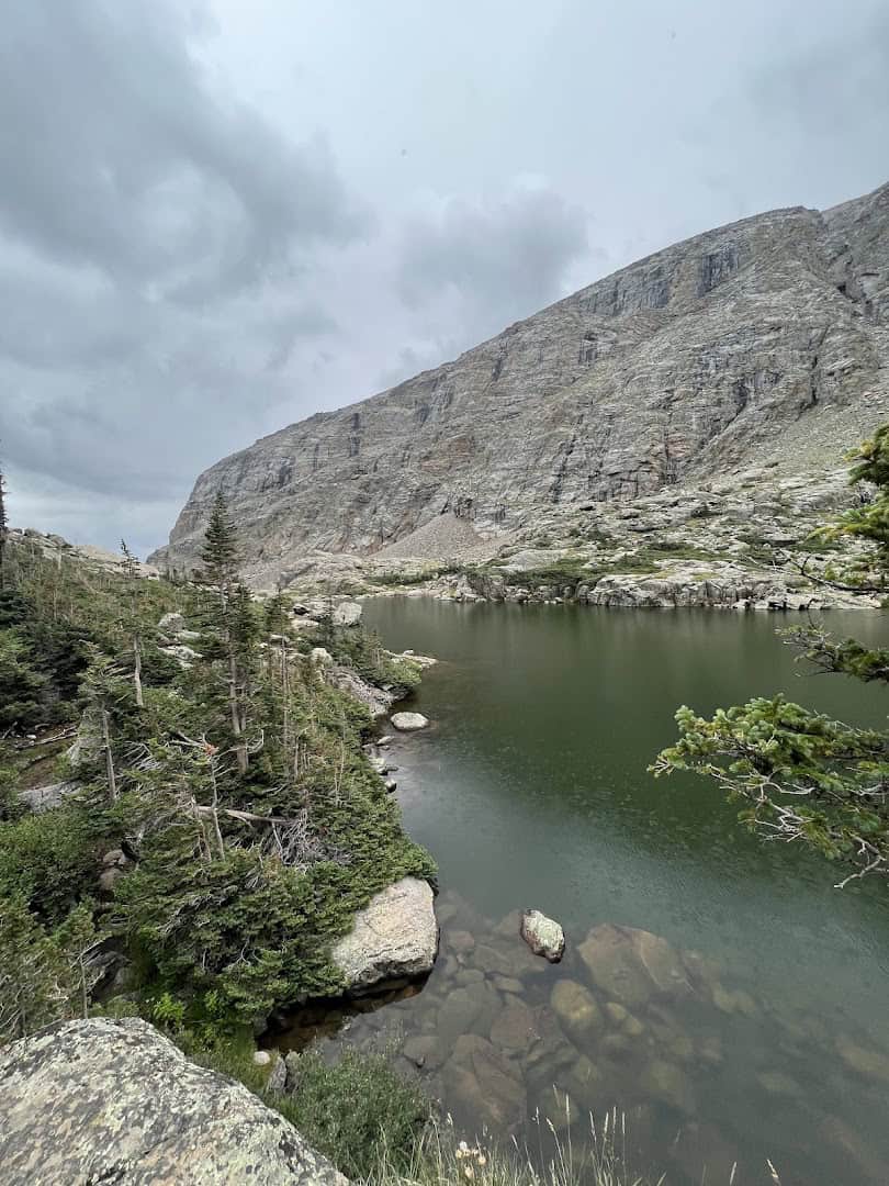
This is my favorite kind of trail: one that keeps topping itself. From Glacier Gorge you pass Alberta Falls, then The Loch, and just when you think you have peaked, the path shoves you up a waterfall.
You climb beside Timberline Falls using your hands, top out at Lake of Glass, and push a little farther to Sky Pond, cupped under the Sharkstooth’s spires. Figure about 9 miles round trip and a lot of grinning at the end.
The scramble beside Timberline Falls is the crux, and it feels bigger when the rock is wet. Take it slow, use both hands, and the park’s timed-entry permit system means you should book your entry window well ahead.
Come in July or August and the lower meadows near The Loch fill with columbine and paintbrush, a soft warmup before the rock. Start at first light and you can have Sky Pond nearly to yourself before the day hikers stack up on the falls.
Where: Glacier Gorge Trailhead, Rocky Mountain National Park, near Estes Park, Colorado.
4. Lake 22, Washington
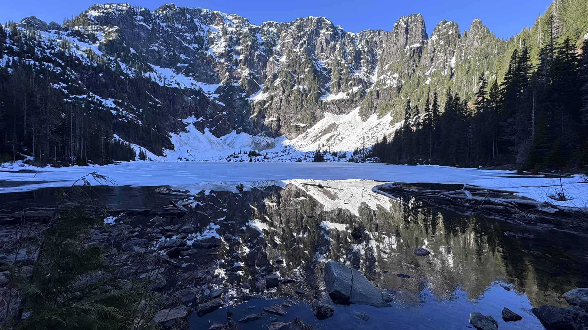
The Cascades are generous with day hikers, and Lake 22 is proof. The trail climbs through old-growth cedar and hemlock along Twenty-Two Creek, passing waterfall after waterfall on the way up. Roughly 5.4 miles round trip.
The lake sits in a rock cirque under the north wall of Mount Pilchuck, with snow clinging to the cliffs deep into summer. A boardwalk carries you around the marshy shore for the best angles on the water.
This is a protected research forest, so the woods feel wonderfully untouched and the mosses glow almost neon after rain. It stays popular on weekends, so a weekday or an early start buys you a quieter shoreline.
Where: Lake 22 Trailhead on the Mountain Loop Highway, near Granite Falls, Washington. Reach it just past Verlot off Highway 92.
5. Green Lakes, Oregon
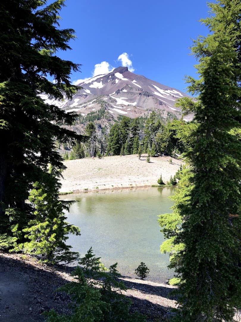
Oregon does volcanic scenery like nowhere else, and this trail proves it. You follow Fall Creek up through the Three Sisters Wilderness, past shining black obsidian flows that crunch and glint underfoot the whole way.
The lakes open up in a wide green basin wedged between South Sister and the sawtoothed hulk of Broken Top. About 9 miles round trip with modest climbing, which makes it one of the best reward-to-effort ratios out here.
The color that names them is real. Fine volcanic sediment tints the shallows a milky jade, and on a calm day both peaks stack up in the reflection. It is the kind of place you plan a whole trip around.
This is one of the most loved trails in central Oregon, so a permit is required in peak season and weekday mornings are your friend. The obsidian glitters best in full sun, so time your walk for a clear day.
Where: Green Lakes Trailhead, Cascade Lakes Highway, near Bend, Oregon.
6. Blue Lakes, Colorado
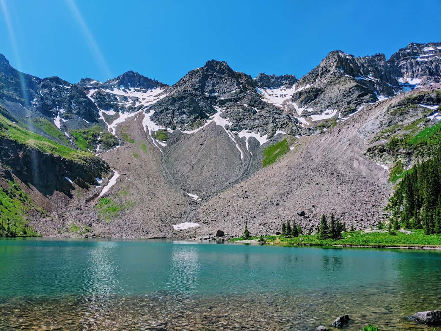
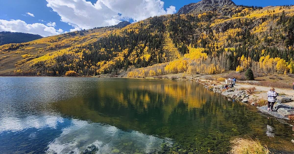
Some water does not look real, and Lower Blue Lake is that kind. It glows a hard turquoise under Mount Sneffels, fed by the snow that hangs on the peak deep into summer. About 6.6 miles round trip to the first lake.
Push higher and you reach the middle and upper lakes, each one a different shade of blue set in the tundra. Wildflowers run riot through the basin in July, columbine and paintbrush thick along the trail.
This corner of the San Juans near Ridgway rewards an early start, since the small trailhead lot fills by sunrise in peak season. Give your lungs time to adjust, because the basin sits well above 10,000 feet.
Where: Blue Lakes Trailhead, East Dallas Creek Road, Mount Sneffels Wilderness, near Ridgway, Colorado.
7. Lonesome Lake, New Hampshire
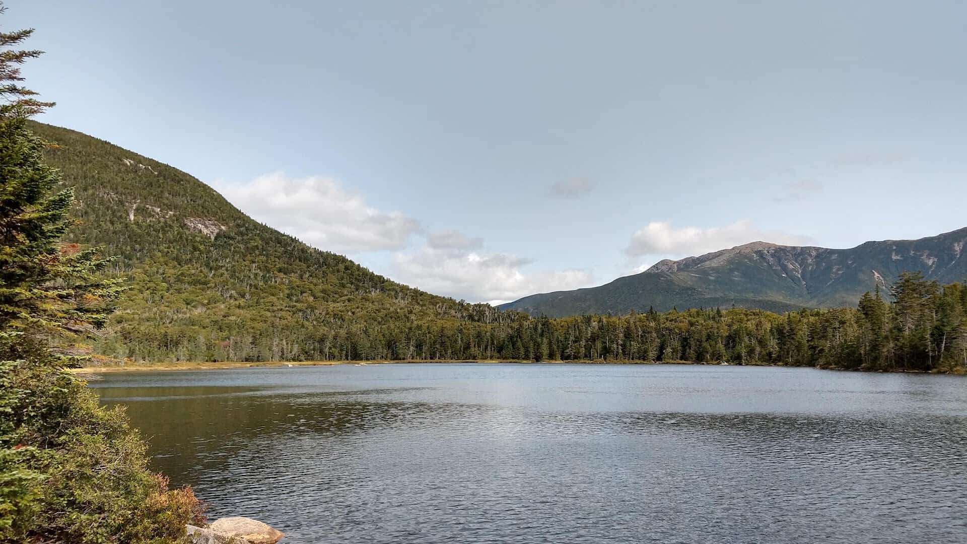
Not every alpine lake demands a sufferfest, and the East Coast deserves a spot on this list. Lonesome Lake is a friendly climb of about 3 miles round trip in Franconia Notch, gentle enough for families willing to work a little.
At the top, the jagged Franconia Ridge lays itself across the water on a still morning. An Appalachian Mountain Club hut sits right at the shore, so you can trade the crowds for lemonade and a bunk if you plan ahead.
A boardwalk loops the far side of the lake, which is where the best reflections hide. It is the rare alpine payoff that a first-time hiker and a seasoned peak-bagger can both love on the same afternoon.
Come in late September and the surrounding hardwoods light up in reds and golds that double on the water. Bring a few dollars if you want to buy baked goods from the hut crew, and give yourself time to just sit.
Where: Lafayette Place Campground, Franconia Notch State Park, off Interstate 93, New Hampshire.
8. Iceberg Lake, Montana
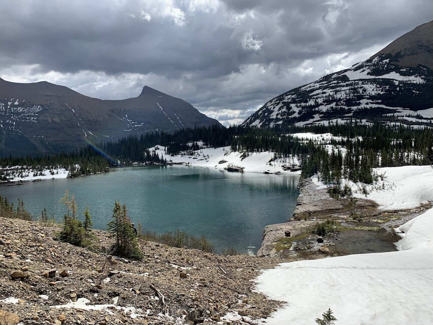
The name is not a metaphor. Chunks of ice float on this Glacier National Park lake deep into summer, calved off the snow that clings to a headwall rising some 3,000 feet straight off the back shore.
It is roughly 9.7 miles round trip from Many Glacier, and it is serious grizzly country, so rangers sometimes ask hikers to travel in groups. Bring bear spray, make noise, and let the cold air off the ice hit your face.
Wildflowers carpet the meadows partway up in July, which softens the climb considerably. Many Glacier’s road and parking fill early, so treat a sunrise start as the plan rather than the exception, and check current bear closures first.
Where: Iceberg Lake Trailhead at the Swiftcurrent area, Many Glacier, Glacier National Park, near Babb, Montana.
9. Red Pine Lake, Utah
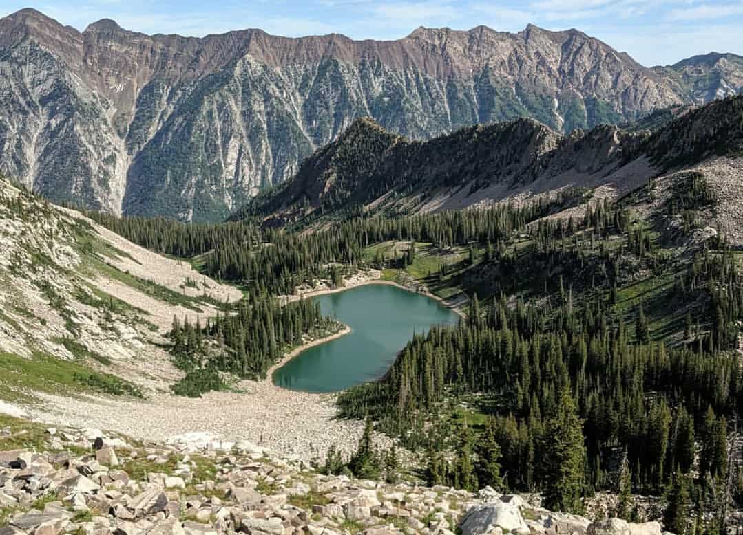
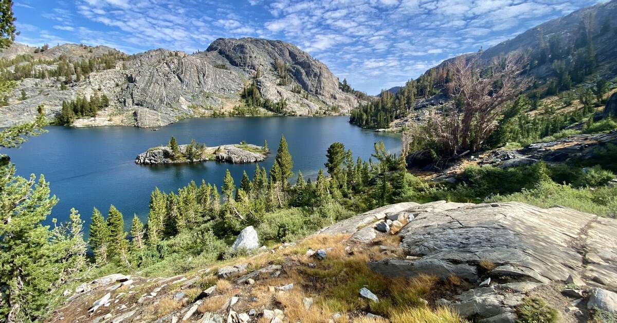
Salt Lake City hides a wilderness right up its own canyon, and most people driving to the ski resorts never notice. Red Pine sits in the Lone Peak Wilderness above Little Cottonwood, a granite bowl about 7 miles round trip.
The climb is honest, close to 1,900 feet, but the payoff is a slab-rimmed lake with pale rock diving straight into clear water. Come on a weekday and you might get the whole basin to yourself, twenty minutes from a freeway.
Strong hikers can push past the lake toward the Pfeifferhorn ridgeline for even bigger views. Most of us are happy to find a flat granite slab, eat a sandwich, and let the quiet do its thing.
Watch the junction where the White Pine and Red Pine trails split, because more than one hiker has drifted onto the wrong fork. Dogs are not allowed in this watershed, so leave the pup at home and pack extra water instead.
Where: White Pine Trailhead, Little Cottonwood Canyon, near Alta, Utah.
10. Stella Lake, Nevada
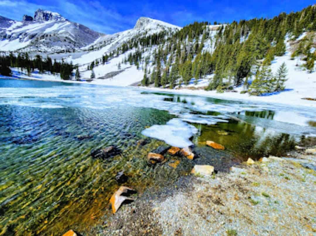
Nevada hides real alpine country, and almost nobody expects it. In Great Basin National Park, the Alpine Lakes Loop climbs to Stella Lake, a clear pool cupped right under the 13,000-foot bulk of Wheeler Peak. Around 2.7 miles round trip.
The reflection of the peak on a calm morning is the whole reason to come. Nearby stands of ancient bristlecone pines, some of the oldest living things on earth, make an easy add-on from the same trailhead.
This is one of the least crowded national parks in the country, so you can often have the shoreline to yourself. The park sits far from any city, which means the night skies here are some of the darkest you will ever see.
Where: Bristlecone and Alpine Lakes Loop Trailhead, Wheeler Peak Scenic Drive, Great Basin National Park, near Baker, Nevada.
11. Garnet Lake, California
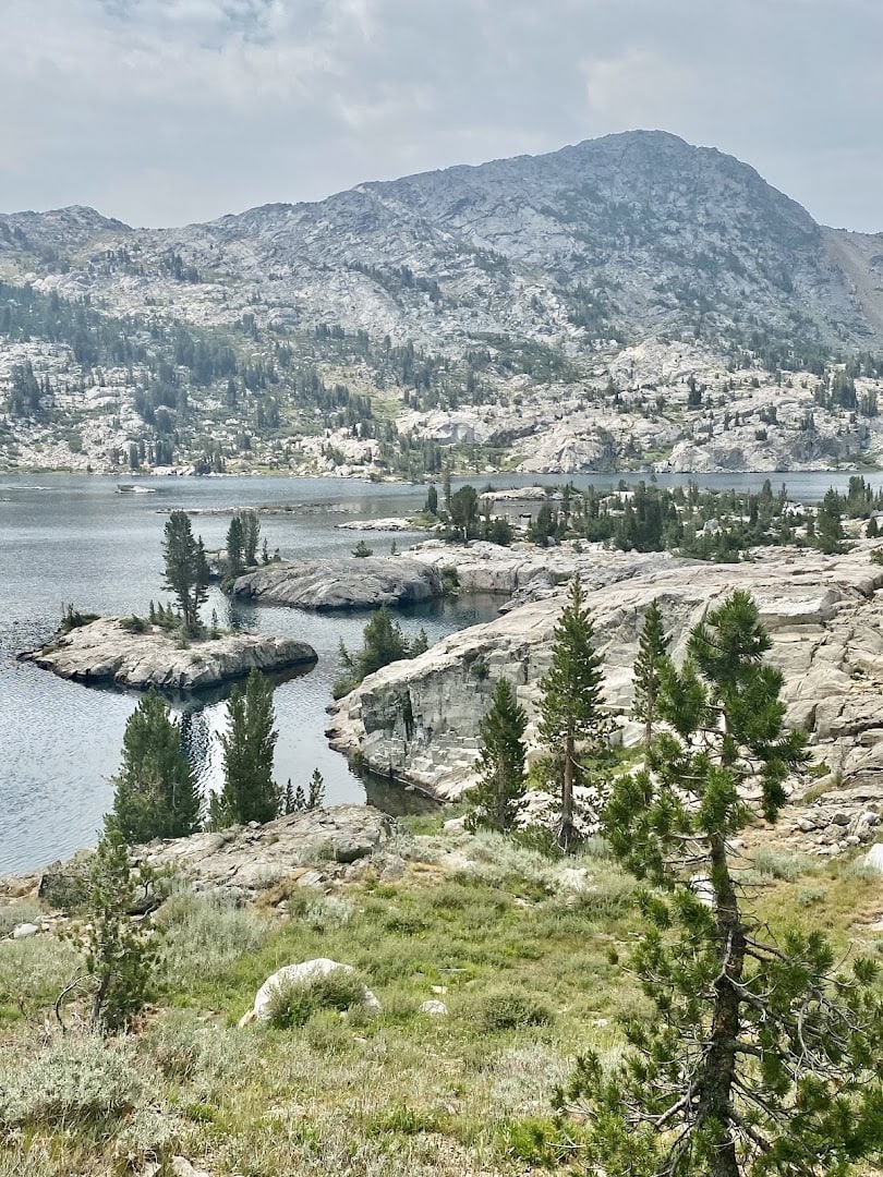
Ansel Adams pointed his camera at this one, and once you round the last bend you understand why. Banner Peak and Mount Ritter throw a near-perfect reflection across the water, framed by scattered granite islands.
It is a long push through the Ansel Adams Wilderness, often 14 miles or more round trip from Agnew Meadows, so many people turn it into an overnight. I would rather earn a night under that skyline than rush it in a day.
In summer you often ride a shuttle to Agnew Meadows from Mammoth, so check the schedule before you commit. If you overnight, you will need a wilderness permit, and the reflection is at its stillest right at first light.
The high country here sits above 9,000 feet, so give your lungs a day to adjust in Mammoth before you go long. Pack a warm layer even in July, because the wind coming off Banner Peak has a bite the sunshine does not warn you about.
Where: Agnew Meadows Trailhead, Ansel Adams Wilderness, near Mammoth Lakes, California.
12. Lake Serene, Washington
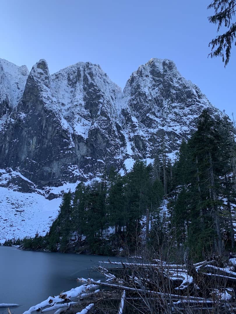
The Cascades save one of their best for a trail an hour from Seattle. The route climbs through mossy forest and detours to the base of Bridal Veil Falls, a roaring cascade you feel before you see.
Then it grinds up to Lake Serene, tucked in a tight cirque under the sheer north face of Mount Index. Scramble onto Lunch Rock, dangle your boots over the water, and count the waterfalls dropping in. Around 8 miles round trip.
The last push is a long staircase of switchbacks that surprises people, so pace yourself for it. This trail stays snowy later than you would guess, so aim for midsummer through fall, and expect company on any sunny weekend.
Because it sits so close to Seattle, the small lot fills fast, so an early start earns you both a parking spot and a quieter lake. Bring a rain shell no matter the forecast, since the Cascades write their own weather and Bridal Veil Falls throws mist a long way.
Where: Lake Serene Trailhead off Mount Index Road, near Gold Bar, Washington.
13. Goat Lake, Idaho
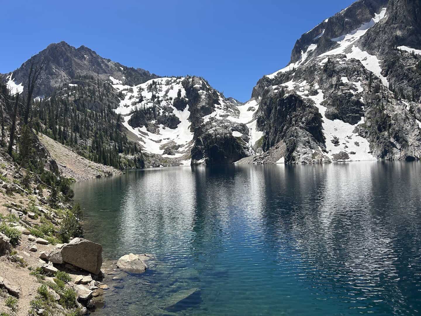
Idaho’s Sawtooths do not get the crowds of their neighbors, which is exactly the point. From Iron Creek you climb through forest and meadow, ford a few creek crossings that can run cold and thigh deep in early summer, and keep going.
The final half mile turns steep and rocky before Goat Lake finally opens up, a vivid blue pool ringed by raw gray peaks. About 9 miles round trip and roughly 1,800 feet of climbing. Start early and take the descent slow.
The whole Sawtooth range has a wilder, emptier feel than the marquee parks, and Goat Lake is a perfect sample of it. If the swim looks tempting, know the water stays shockingly cold well into August.
Those creek crossings are the thing to plan around. In a big snow year they run high into July, so trekking poles and shoes you do not mind soaking will save your morning. Stanley itself is a tiny, friendly base for the night.
Where: Iron Creek Trailhead, Sawtooth Mountains, near Stanley, Idaho.
Pick One and Go
You do not need all thirteen this year. Pick the one that fits your legs and your calendar, check the trail report for snow, and go earn that first look at the water. I promise the photos will not do it justice, and that is the whole point.
Start with whichever one is closest, because the nearest great hike beats the famous one you keep putting off. Then work your way outward, one blue lake at a time, until the map has a lot fewer blank spots on it.
Featured image: luna liu via Garnet Lake

Stella Raines
Editor-in-Chief
Stella brings over a decade of storytelling experience to TX Headlines. With roots in West Texas and a love for road trips, she leads the editorial team with an eye for the hidden stories that make Texas unforgettable.