12 California Bucket List Spots That Belong on Every Road Trip
I keep a running list of places I want to reach before my knees quit on me, and no single state hogs more of that list than California. Every time I cross one off, two more sneak on.
That is the thing about the Golden State. You get coast to summit in one road trip: foggy redwoods, salt flats below sea level, alpine water so clear it looks fake, and granite walls that make you feel very small in the best way.
Here is the shortlist I would hand any first-timer, twelve stops that earn the bucket-list label and stitch together into one great loop. Pick a season, gas up, and go.
1. Yosemite National Park, California
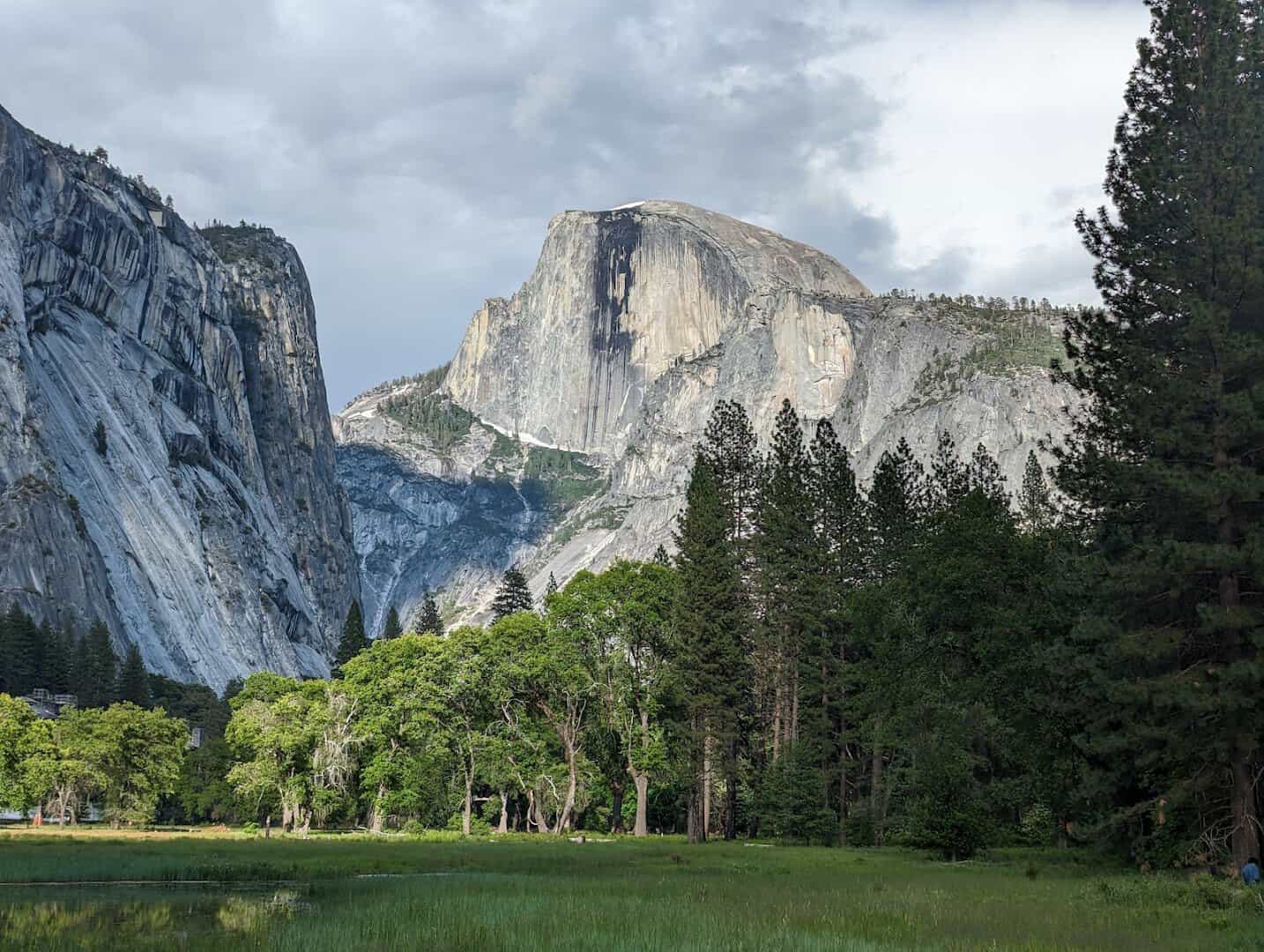
Some places live up to the postcard. Yosemite is one of them. Roll through the Wawona Tunnel, pull over at Tunnel View, and the whole valley opens at once: El Capitan on the left, Bridalveil Fall on the right, Half Dome standing guard at the back.
Half Dome rises nearly 8,800 feet, and Yosemite Falls drops 2,425 feet, the tallest waterfall in North America. The park earned federal protection back in 1890, the third in the country to do so.
Come in late spring and the falls run full and loud with snowmelt. By fall they quiet to a trickle, and the crowds thin with them. If you can only do one hike, the Mist Trail toward Vernal Fall puts you close enough to feel the spray.
Where: Yosemite National Park, CA 95389. The Highway 41 south entrance drops you closest to Tunnel View and the valley floor.
2. Big Sur and Bixby Creek Bridge, California
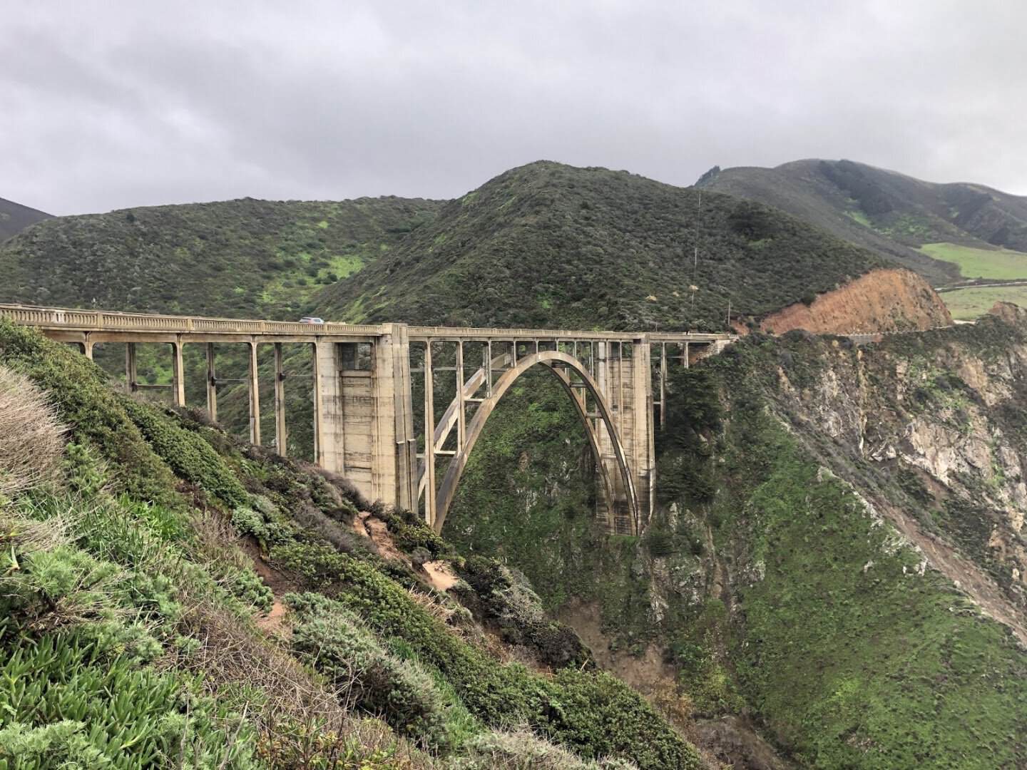
If you have ever seen a car ad with a coastline that looks too dramatic to be real, it was probably filmed here. Big Sur is the stretch of Highway 1 where the mountains fall straight into the Pacific.
Drive it slowly, because the pullouts are the whole point. Morning light tends to be clearer for photos, and the fog that rolls in by afternoon only adds to the mood. Fuel up and pack snacks first, since services are thin.
Where: Big Sur runs along Highway 1 in Monterey County, CA, roughly 30 miles of coast south of Carmel-by-the-Sea. Worth a stop:
- Bixby Creek Bridge, Highway 1 about 13 miles south of Carmel, best shot from the pullout on its north side
- McWay Falls, Julia Pfeiffer Burns State Park, a short trail to an 80-foot fall on a hidden cove
- Pfeiffer Beach, off Sycamore Canyon Road, known for its purple-tinged sand and rock arch
- Point Sur Lighthouse, on a volcanic rock north of the bridge, open for guided tours
3. Lake Tahoe, California
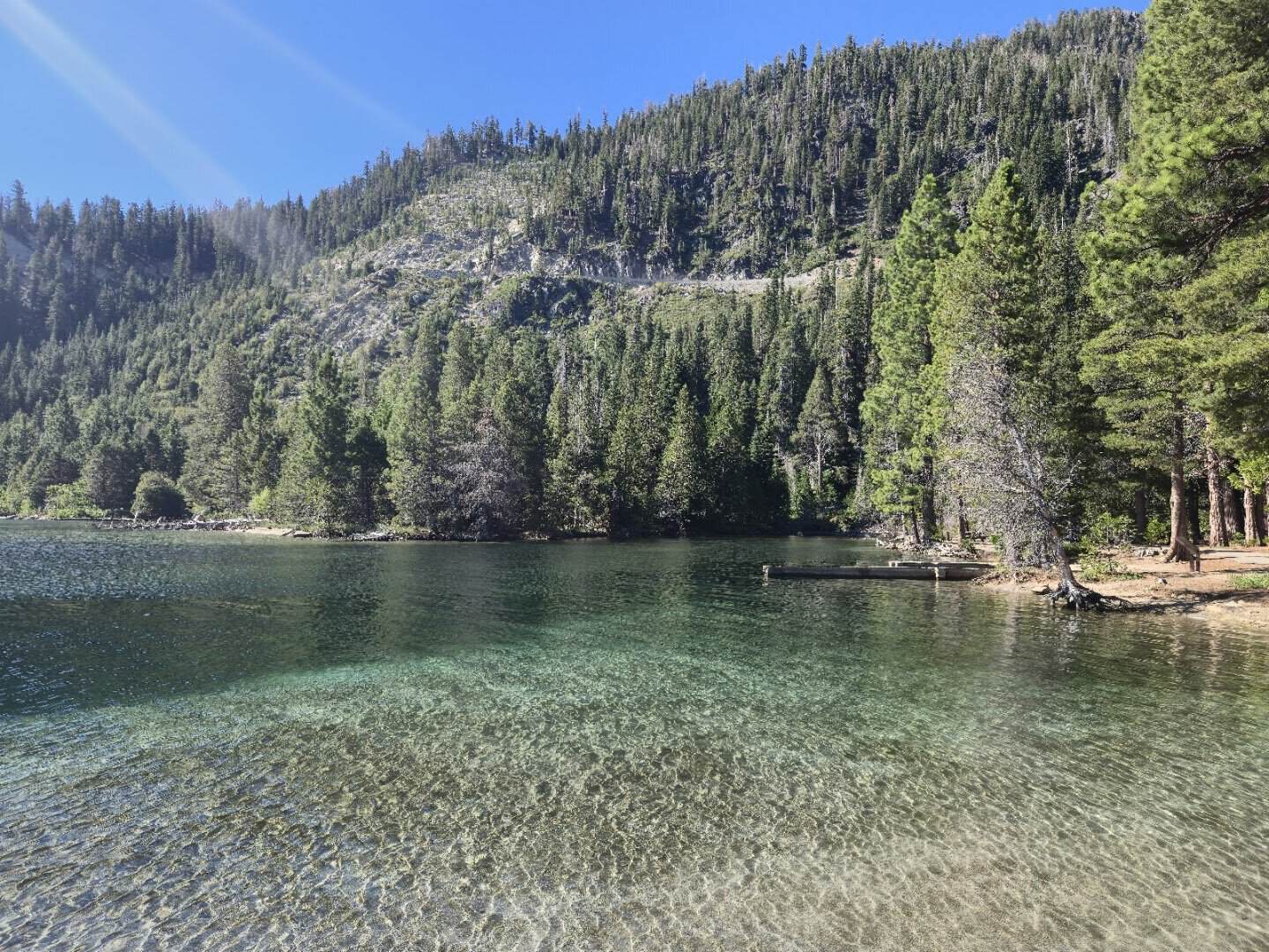
There is a specific blue you only find in very deep, very cold water, and Lake Tahoe has it in spades. This is the largest alpine lake in North America, 22 miles long and 1,645 feet deep in places.
Emerald Bay is the money shot, a horseshoe cove with a tiny island and a wooden overlook that makes the whole scene feel arranged for you. Paddleboards glide over water you can see straight through.
Summer brings clear-water swimming and long hikes. Winter turns the surrounding peaks into ski country. The lake itself never freezes, so the view holds up all year round.
Where: Emerald Bay State Park, 138 Emerald Bay Rd, South Lake Tahoe, CA 96150. Walk the short but steep trail down to Vikingsholm for a closer look at the bay.
4. Avenue of the Giants, California
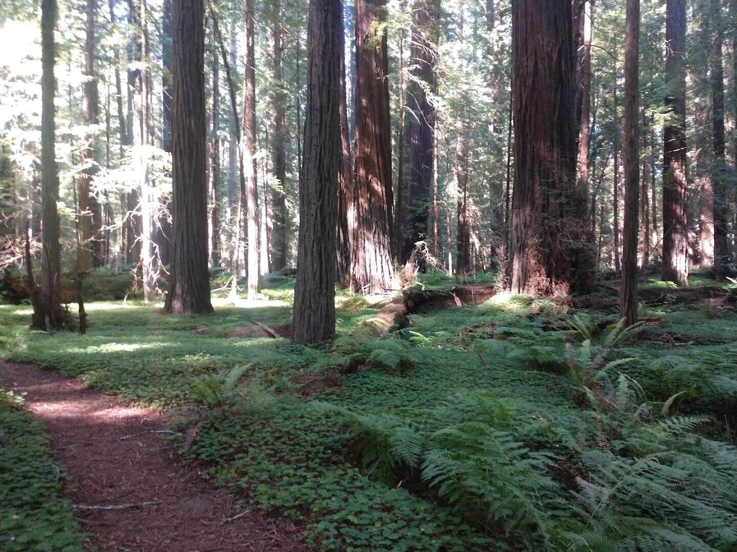
Everyone should stand under an old-growth redwood at least once. It rewires your sense of scale. The Avenue of the Giants is the easiest way to do it, a 31-mile drive winding through Humboldt Redwoods State Park.
Coast redwoods are the tallest living things on Earth, some pushing past 350 feet. The road parallels Highway 101 but slips into a green tunnel of trunks that block out most of the sky.
Pull over and walk a short loop like Founders Grove. The quiet under the canopy is a thing you feel more than hear, and the ferns and moss make the forest floor glow green.
Where: Avenue of the Giants, Humboldt County, CA. The southern access sits near Phillipsville, CA 95559, off Highway 101, about 45 minutes south of Eureka.
5. San Francisco, California
Few cities pack this much into seven square miles. San Francisco stacks pastel houses up impossible hills, wraps itself in fog that burns off by noon, and hands you a new view around every corner.
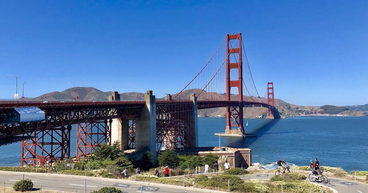
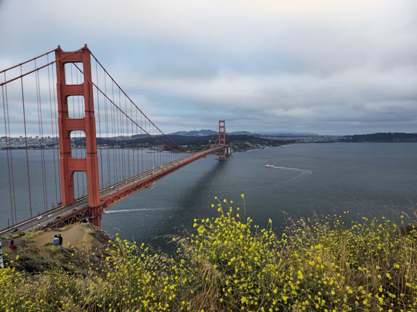
Ride a cable car up California Street, watch the sea lions bark at Pier 39, and time your afternoon for the Golden Gate Bridge before the fog swallows the towers. Then wait, because it often clears again in twenty minutes.
Where: San Francisco sits at the tip of its peninsula, an hour’s drive north of San Jose or a quick BART ride from Oakland. Do not miss:
- Golden Gate Bridge, best viewed from Battery Spencer in the Marin Headlands, Sausalito, CA 94965
- Alcatraz Island, ferries from Pier 33, home of the famous former federal prison
- Fisherman’s Wharf and Pier 39, on the northern waterfront, for sea lions and clam chowder
- The Painted Ladies, a row of Victorian houses along Steiner Street at Alamo Square
- Lombard Street, the eight-hairpin block on Russian Hill billed as the crookedest street
6. Lassen Volcanic National Park, California
Most people drive right past this one on their way to somewhere busier, and that is exactly its charm. Lassen is where California’s quiet volcanic country puts on a show without the Yosemite crowds.
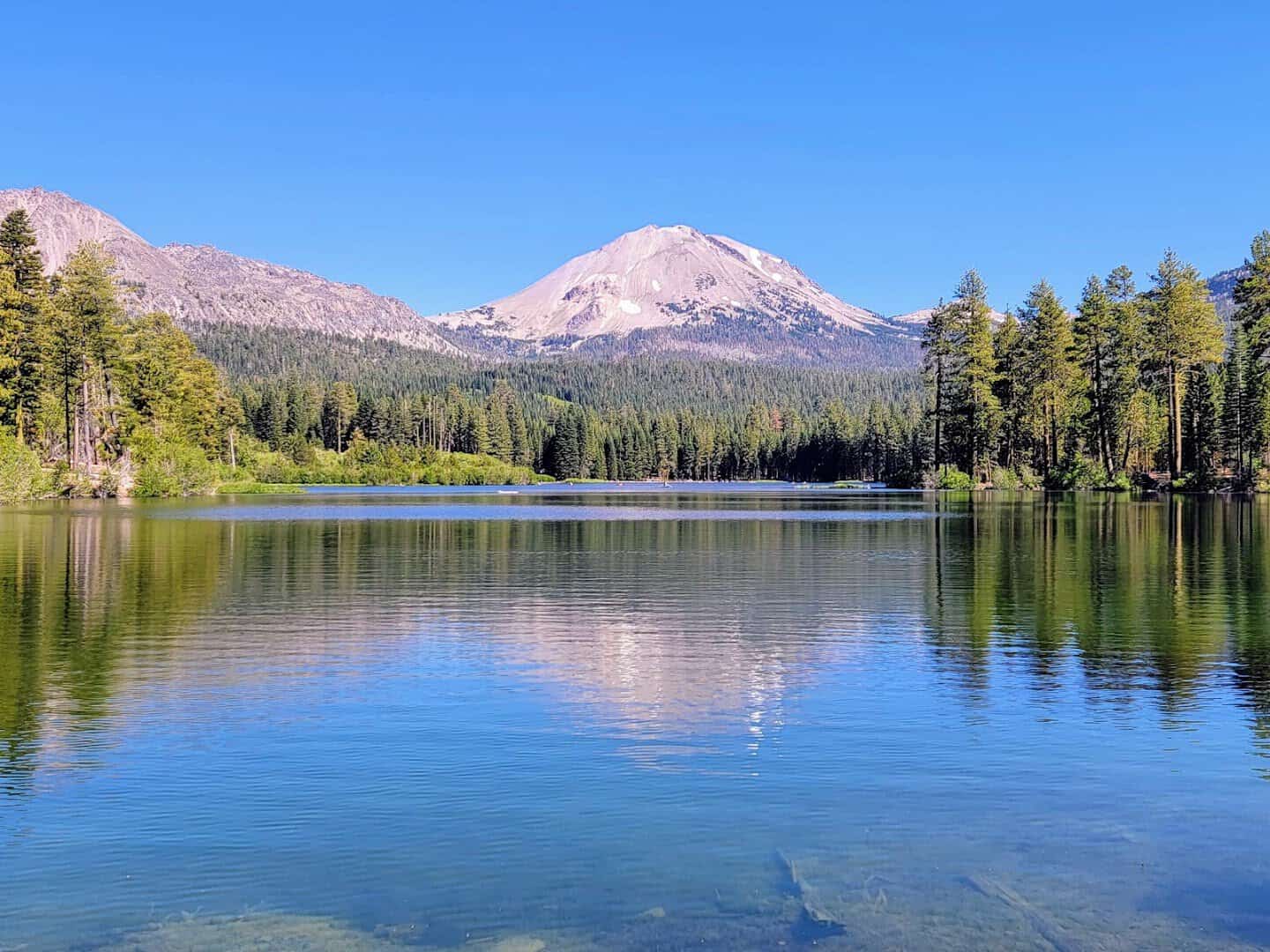
Lassen Peak last erupted in 1915 and still rules the skyline at 10,457 feet. Below it, boardwalks wind past Bumpass Hell, a basin of bubbling mudpots and steaming vents that hiss like the earth is breathing.
Come in summer, when the road over the pass finally clears of snow. Alpine lakes like Manzanita mirror the peak, and the wildflowers along the trails come in thick.
Where: Lassen Volcanic National Park, CA. The southwest entrance sits on Highway 89 near Mineral, CA 96063, about 50 miles east of Redding.
7. Sequoia National Park, California
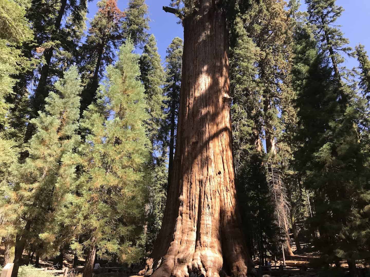
Redwoods are the tallest trees, but sequoias are the largest by sheer volume, and the difference hits you the moment you meet General Sherman. It stands 275 feet tall with a base 36 feet across.
By volume it is the biggest single-stem tree on the planet, and it has been growing for roughly 2,200 years. The Giant Forest around it is packed with more of these ancient giants.
Climb the granite staircase up Moro Rock for a payoff view over the Great Western Divide. The park earned protection in 1890, the second in the nation, right on the heels of Yosemite.
Where: Sequoia National Park, CA. The Giant Forest Museum, Generals Highway, Three Rivers, CA 93271, sits near General Sherman.
8. Mono Lake, California
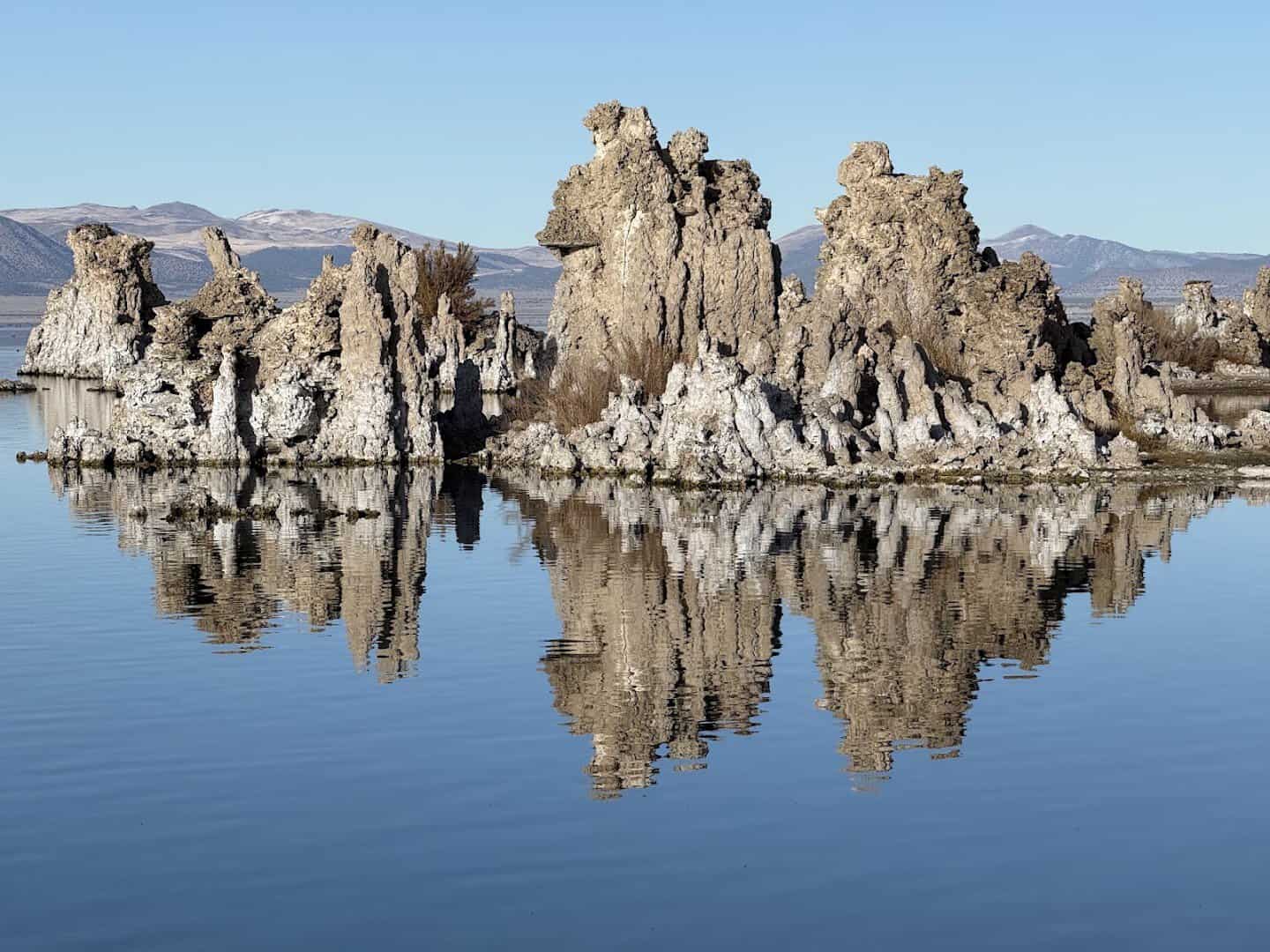
Mono Lake looks like a landscape from another planet, and it is one of the oldest lakes in North America, over 760,000 years old. Its water is saltier and more alkaline than the ocean.
The draw is the tufa, spires of calcium carbonate that built up underwater over centuries and now stand exposed along the shore. The South Tufa area is the place to walk among them.
Sunrise and sunset are magic here, when the towers reflect in the still water and the whole basin turns pink. It makes a natural stop off the road heading east out of Yosemite.
Where: South Tufa, Mono Lake, off Highway 120 near Lee Vining, CA 93541. The short loop trail is flat and easy, good for kids and grandparents both.
9. Death Valley National Park, California
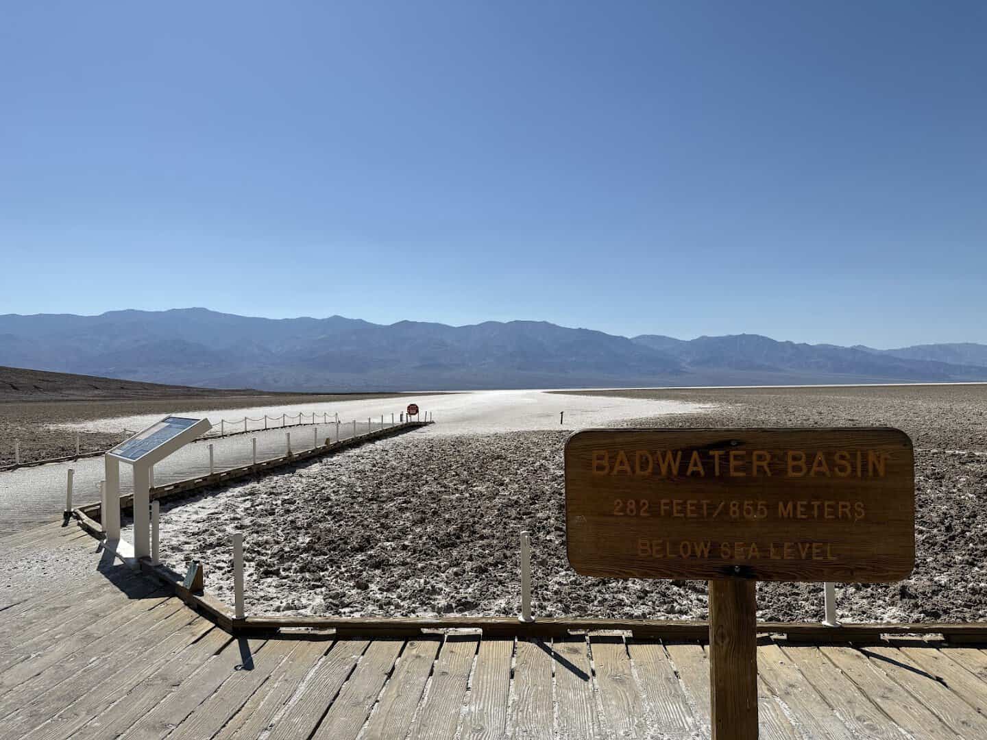
Nowhere else on the list feels quite this otherworldly. Death Valley holds Badwater Basin, the lowest point in North America at 282 feet below sea level, a cracked white sea of salt you can walk right out onto.
It is the largest national park in the lower 48, and every corner surprises you. Zabriskie Point glows gold at sunrise. The Mesquite Flat sand dunes ripple like something from a film set.
Go in the cooler months, roughly November through March, when the desert is kind to a road tripper. Carry more water than you think you need, and top off your gas tank when you can.
Where: Death Valley National Park, CA. Furnace Creek Visitor Center, CA 92328, makes the easiest first stop.
10. Joshua Tree National Park, California
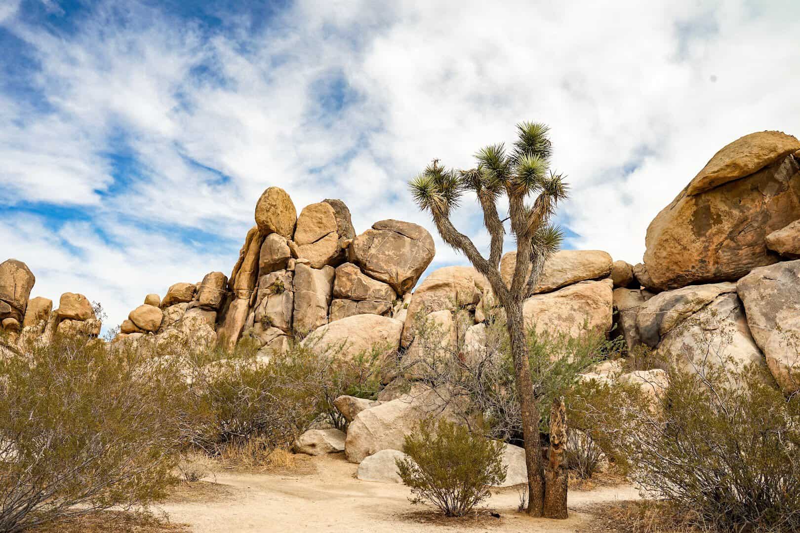
Joshua Tree is where the desert gets weird, and I mean that as the highest compliment. Two deserts meet here, the Mojave and the Colorado, and the spiky namesake trees only grow where they overlap.
The rock piles look stacked by hand, which is why climbers flock to them. Skull Rock sits right off the main road, and the Cholla Cactus Garden glows gold when the low sun hits it.
Stay after dark. Far from any city, the skies here rank among the best for stargazing in the state. Time your trip for spring and a wet winter can fill the desert floor with wildflowers.
Where: Joshua Tree National Park, CA. The west entrance sits off Park Boulevard in the town of Joshua Tree, CA 92252, about an hour east of Palm Springs.
11. Antelope Valley California Poppy Reserve, California
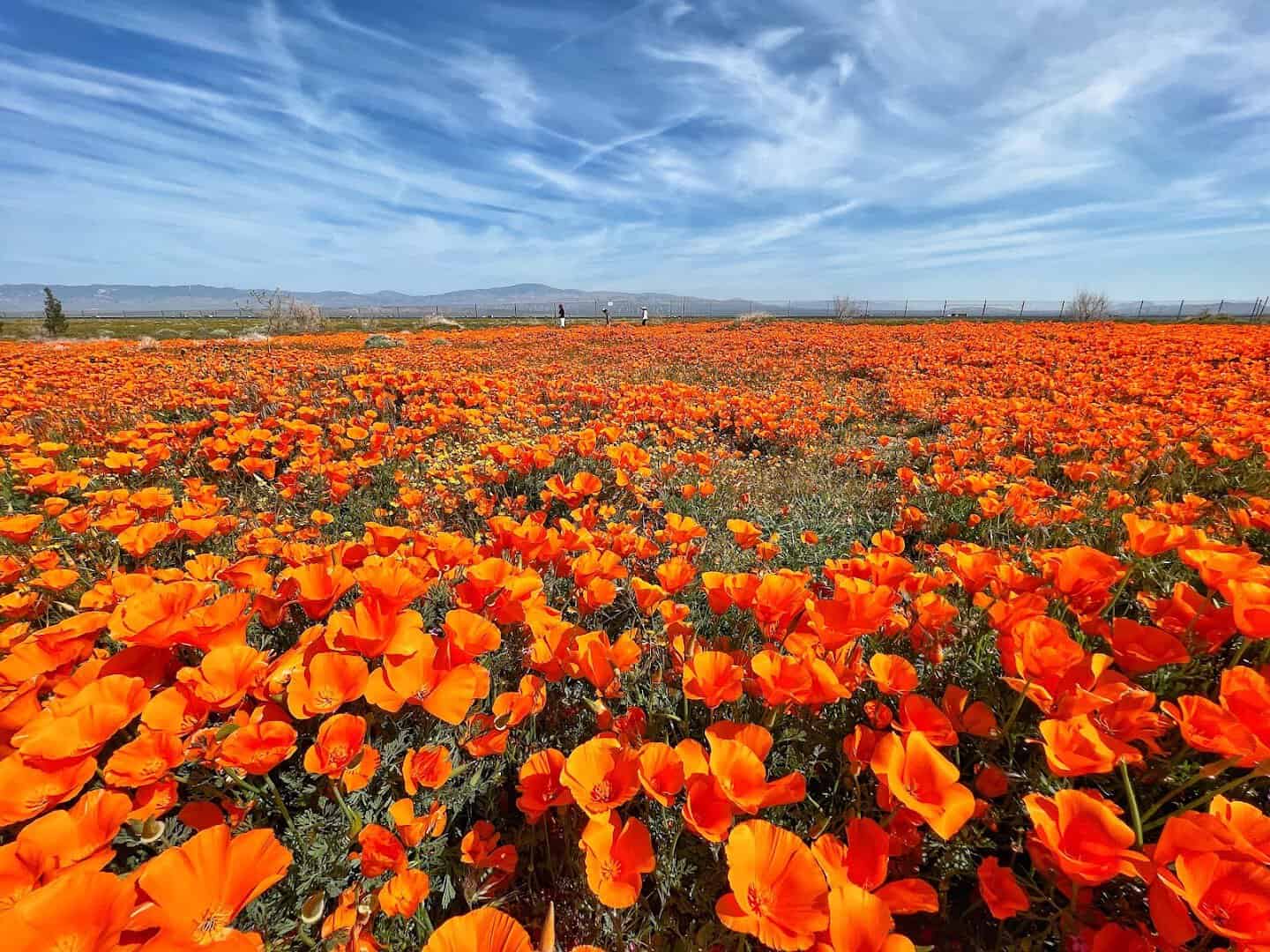
Time this one right and you get a hillside painted solid orange. The Antelope Valley California Poppy Reserve protects 1,780 acres of rolling grassland that erupts with the state flower each spring.
In a good bloom year, roughly March through May, the golden poppies carpet the slopes as far as you can see. Eight miles of gentle trails let you walk right into the color without trampling it.
Blooms depend on winter rain, so check the reserve’s updates before you drive out. Come on a warm, sunny morning, because poppies close up on cold or windy days.
Where: Antelope Valley California Poppy Reserve, 15101 Lancaster Rd, Lancaster, CA 93536, about 90 minutes north of Los Angeles.
12. Channel Islands National Park, California
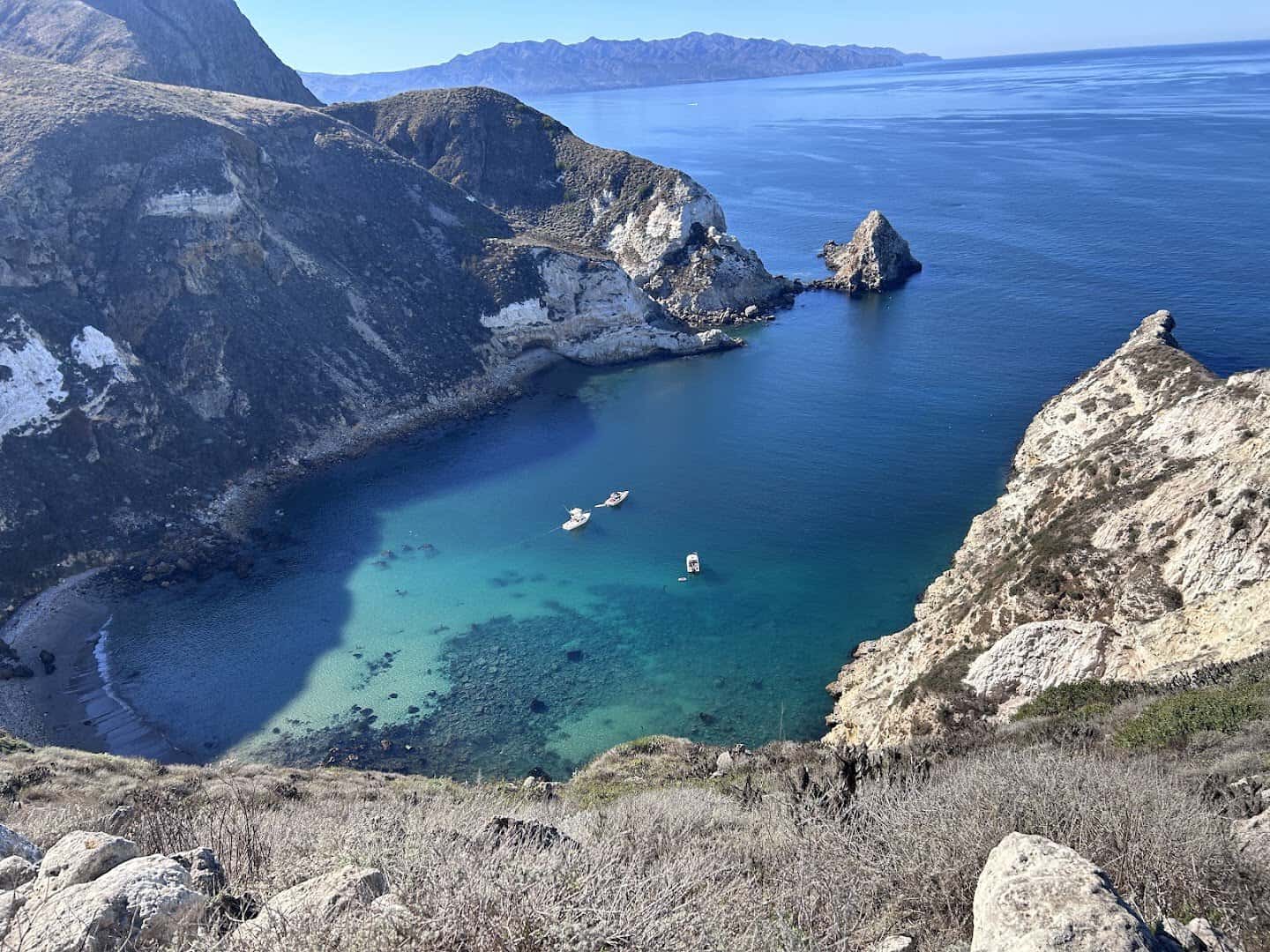
The wildest spot on this list needs a boat to reach it. The Channel Islands sit off the Ventura coast, five rugged islands so full of life that people call them the Galapagos of North America.
Kayak into sea caves, watch dolphins escort the boat across the channel, and hike bluffs where the island fox, found nowhere else, trots right past your feet. There are no shops and no crowds, just the wild.
Anacapa and Santa Cruz are the easiest day trips, an hour’s boat ride each way. Pack everything you need, since the islands offer no services once you land.
Where: Channel Islands National Park, CA. Start at the visitor center at 1901 Spinnaker Dr, Ventura, CA 93001, where the island boats depart from Ventura Harbor.
Start Mapping Your California Loop
You could spend a lifetime chasing everything California hides, and honestly, that sounds like a pretty good lifetime. These twelve are the anchors, the stops that turn a drive into the trip you tell people about for years.
A quick tip before you go: some of these spots peak in opposite seasons, so no single trip catches them all at their best. That is a feature, not a flaw. It gives you a reason to come back.
So pick a season, sketch a loop, and start with the one that has tugged at you longest. Whether you have a long weekend or two full weeks, the Golden State will happily hand you the rest.
Featured image: Erivan via Golden Gate Bridge

Stella Raines
Editor-in-Chief
Stella brings over a decade of storytelling experience to TX Headlines. With roots in West Texas and a love for road trips, she leads the editorial team with an eye for the hidden stories that make Texas unforgettable.