This Hidden Gem in Texas Has 40 Miles of Trails and Zero Crowds
Most Texas state parks are designed for visitors. They have paved scenic overlooks, interpretive signs, gift shops, and comfortable amenities.
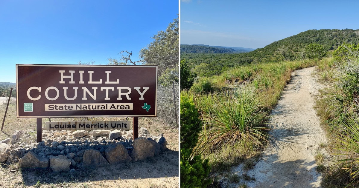
Hill Country State Natural Area is designed for the land first.
It’s 40 miles of multi-use trails through some of the most challenging and least-visited terrain in the Texas park system—a place where the only views you’ll earn are the ones you hike, bike, or ride to.
Where the Hill Country State Natural Area Is Located
The natural area sits on the border of Bandera and Medina counties, roughly 10 miles southwest of Bandera (the self-proclaimed “Cowboy Capital of the World”) and about 45 miles west-northwest of San Antonio.
Take Highway 173 south from Bandera, then turn onto Ranch Road 1077 and follow it 10 miles to the park entrance.
That approach—six miles of dusty unpaved road—sets expectations. This is not a manicured destination. Cell service is unreliable. The headquarters is simple, with few amenities and no park store.
The 40 Miles of Trails
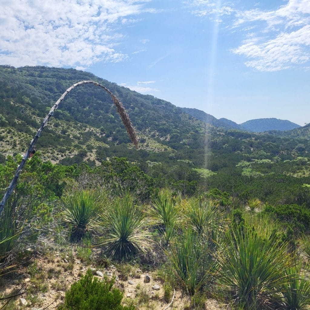
Approximately 40 miles of interconnected trails wind through the natural area, ranging from flat, broad prairie paths to steep, technical climbs up limestone hills.
All trails are multi-use, open to hikers, mountain bikers, and equestrians, which creates a different dynamic than single-use trail systems—expect to share the path and practice trail courtesy.
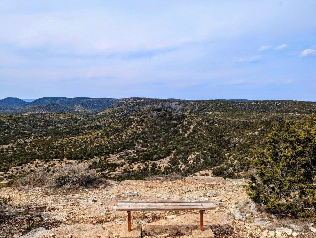
The West Peak Overlook is a staff favorite and the park’s signature hike. The trail is steep and rugged, climbing through loose limestone and rocky terrain to reach 1,868 feet of elevation.
At the top, the trail loops so you can take in views of the western Hill Country in every direction. It’s challenging but rewarding—the kind of hike where you earn every vista.
Specific Trails
Hermit’s Trail (also called Hermit’s Trace) offers steep climbs and genuine solitude, with a primitive backcountry camping area called Hermit’s Shack about 3.25 miles from the nearest parking.
The Wilderness Trail and Twin Peaks Loop (3.8 miles, 501 feet of elevation gain) is one of the most popular routes, taking hikers along double-track before ascending to Twin Peaks for panoramic overlooks.
For a longer day, the Wilderness, Creek, Hermits, Cougar Canyon, Twin, and Vista Ridge Loop covers 9.5 miles with over 1,100 feet of elevation gain—the most strenuous option in the park.
The Ice Cream Hill Trail is considered one of the most difficult in the park, with rolling hills, rocky sections, and significant elevation change.
The Heritage Loop near headquarters is an easier option that passes remnants of the former ranch, offering a glimpse of the area’s agricultural history without the punishing climbs.
Trail navigation requires attention. Many routes overlap, and markers can appear in multiple directions at intersections.
A map is essential—download one before you arrive, since cell service is spotty. GPS apps like Gaia work reasonably well if you’ve cached the area offline.
Wildlife
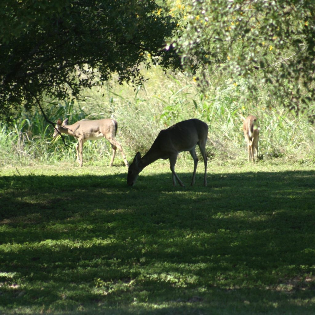
The remote setting and limited crowds increase your chances of wildlife encounters. White-tailed deer are common.
Armadillos root through the underbrush. Wild turkeys move through the grasslands. Birds of prey—hawks and vultures—soar overhead regularly, and the area is considered a regional hot spot for birdwatching.
Less visible but present are bobcats, coyotes, both red and gray foxes, and occasionally mountain lions.
You’re unlikely to see them, but they’re out there, particularly in the more remote sections of the trail system.
Camping and Facilities
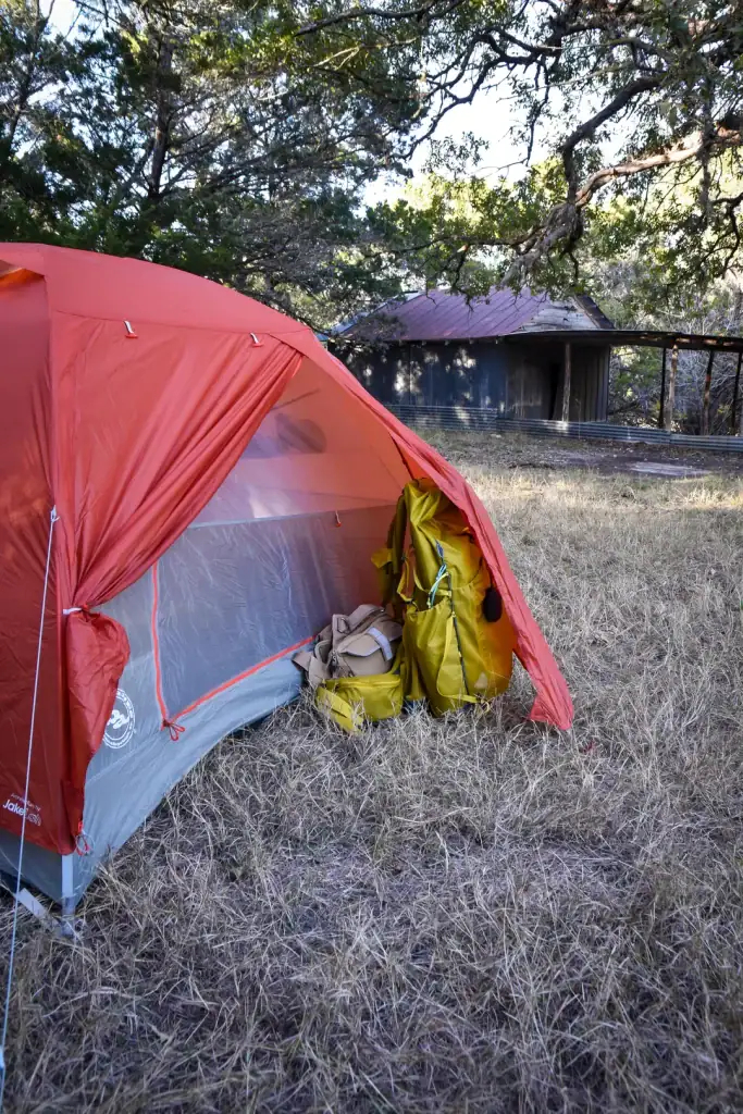
Hill Country State Natural Area offers only primitive camping—no hookups, no drive-up sites.
Three backcountry areas require hikes of 2.3 to 3.25 miles: the Wilderness Camp Area, Chaquita Falls Area (with three creekside sites), and Hermit’s Shack.
Sites are first-come, first-served at $10 per four people. Ground fires are not allowed at backcountry sites; bring a containerized fuel stove.
Equestrian campsites and a group lodge (sleeps 12) are also available. Day-use entry costs $6 per person for those 13 and older.
The park is open daily from 8 AM to 10 PM. Reservations are strongly recommended—the park often reaches capacity on weekends.
Know Before You Go
Bring more water than you think you’ll need—at least half a liter per hour of hiking. Pack sun protection, a downloaded trail map, and sturdy footwear for rocky terrain.
Cell service is unreliable, so don’t count on your phone for navigation or emergencies.
The park closes trails during and after heavy rain to protect against erosion; check the Facebook page or call ahead if the weather has been wet.
The Bandera 100K ultramarathon is held here every January, drawing runners for 100K, 50K, and 25K distances across what the organizers describe as trails “of rugged and brutal beauty where everything cuts, stings, or bites.”
That’s not marketing hyperbole—it’s an accurate description.
Where the Trails Stay Wild
Hill Country State Natural Area isn’t trying to compete with the polished state parks closer to Austin and San Antonio.
It’s offering something else: 40 miles of challenging terrain where the views are earned, the crowds are sparse, and the land comes first.
The trails are rocky, the amenities are minimal, and the solitude is real.
FB post credit: Pier Zeringue

Stella Raines
Editor-in-Chief
Stella brings over a decade of storytelling experience to TX Headlines. With roots in West Texas and a love for road trips, she leads the editorial team with an eye for the hidden stories that make Texas unforgettable.
More Stories


Tags