12 Scenic Fall Drives Across America for Leaf-Peeping Season
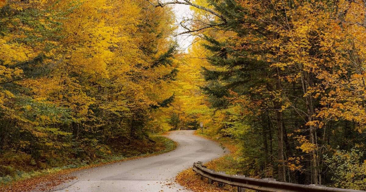
I know that particular quiet that settles over a car when the trees outside turn every color at once. The radio gets turned down without anyone deciding to. My hand ends up pressed against the window. Nobody says drive faster. The road just does the talking.
That is the pull of a great fall drive, a kind of slow burn magic that no photograph quite captures. I have never once regretted picking the long way home in October.
Below are twelve routes across the country built for exactly that kind of afternoon, from New England ridgelines to a canyon in the Texas Hill Country most leaf peepers never think to check.
1. Kancamagus Highway, New Hampshire
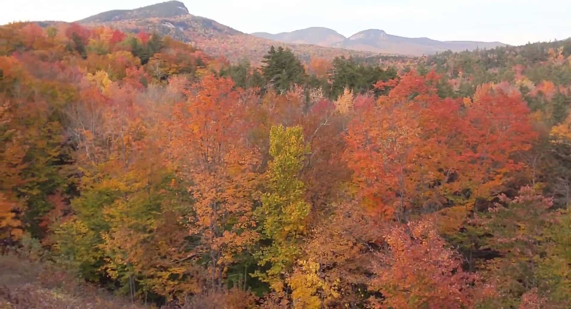
Locals call it “the Kanc,” and the 34.5 miles between Lincoln and Conway cut straight through White Mountain National Forest without a gas station or stoplight in sight. Sugar Hill Overlook alone is worth the stop, a wall of maple and birch running clear to the horizon.
Pull off at Sabbaday Falls or the Swift River for a closer look, then keep climbing toward Kancamagus Pass. Late September through mid October is when the color runs deepest here, and I would build a whole weekend around it if I lived within driving distance.
The pass itself tops out near 2,855 feet, high enough that the maples up top often turn a full week ahead of the valley towns at either end. Chasing that gap in timing is half the fun.
Where: NH Route 112 between Lincoln, New Hampshire and Conway, New Hampshire, through White Mountain National Forest.
2. Blue Ridge Parkway, North Carolina
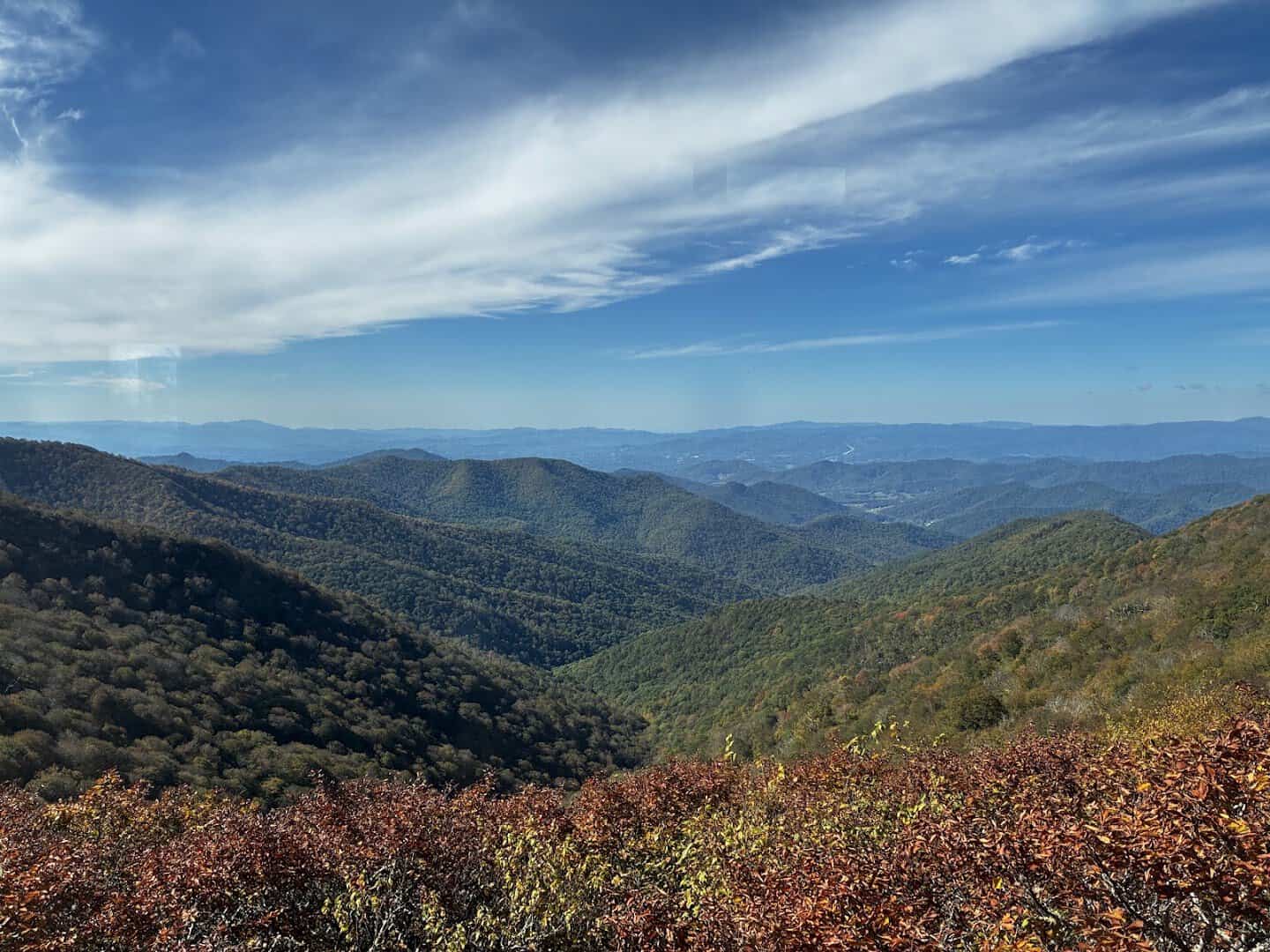
The Parkway runs 469 miles end to end, but the stretch near Asheville, North Carolina earns fall’s best reputation. Craggy Gardens turns the ridgeline into a rolling blanket of rust and gold, and Mount Mitchell rises above it all at 6,684 feet, the highest point east of the Mississippi.
Every overlook along this section seems to compete with the last one for best view, which makes for a slow, happily interrupted drive. Nobody complains about that kind of delay.
Elevation does a lot of the work here. Color starts near the summits in late September and rolls slowly down the slopes through late October, so timing a visit to the right altitude matters as much as timing the calendar.
Where: Blue Ridge Parkway near Asheville, North Carolina, particularly the Craggy Gardens and Mount Mitchell sections.
3. Skyline Drive, Virginia
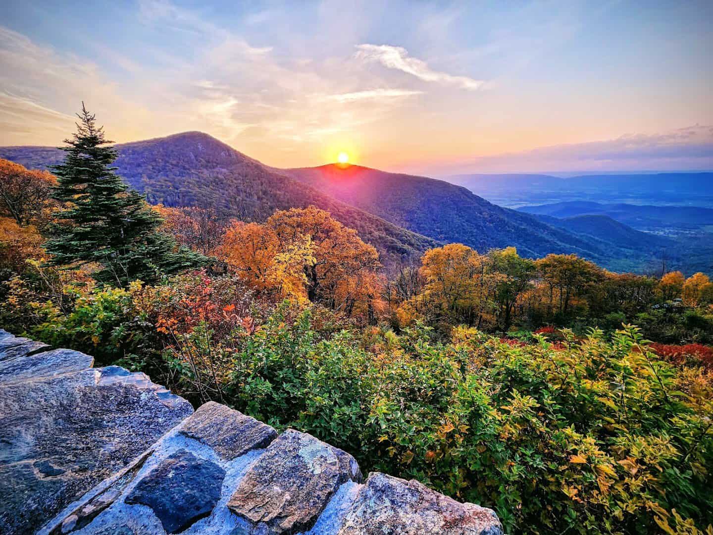
Skyline Drive runs the entire 105-mile length of Shenandoah National Park, and its 75 overlooks mean the car rarely goes more than a mile or two before another one appears. The 35 mile-per-hour limit forces the kind of pace fall color actually deserves.
Deer wander close to the road here in autumn, and the valley floor below the ridge turns into a patchwork of farmland framed by fire-colored hillsides. It is one of the most photographed roads in the country for good reason.
Peak color usually lands in the second half of October, working its way south along the ridge over about two weeks. A single drive north to south can catch two or three different stages of the season.
Where: Skyline Drive through Shenandoah National Park, from Front Royal, Virginia to Rockfish Gap near Waynesboro, Virginia.
4. Vermont Route 100, Vermont
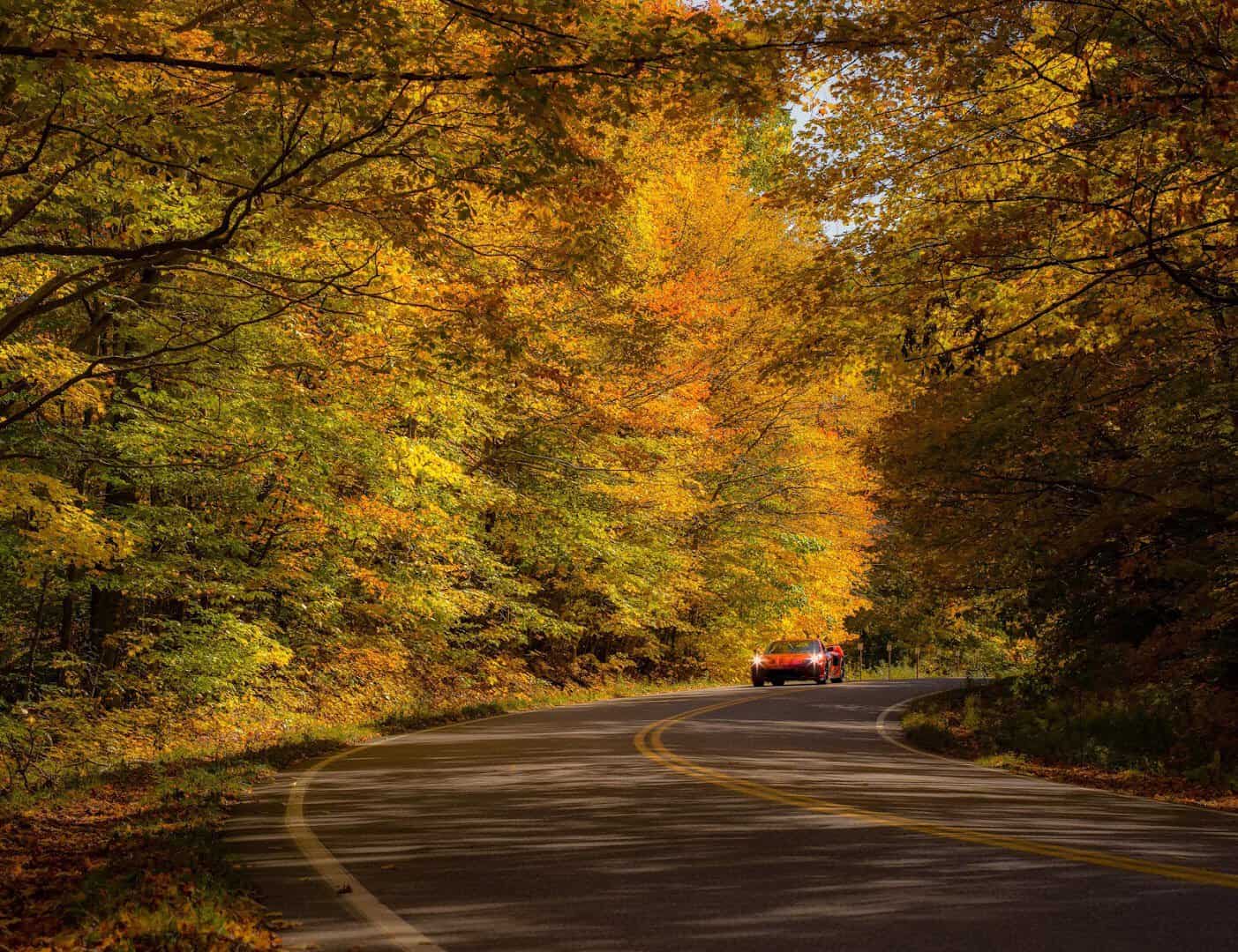
Vermonters call Route 100 the state’s Main Street, and it earns the title by running the length of the Green Mountains past Stowe, Waterbury, and Killington. Covered bridges and white church steeples pop up between farm stands selling cider by the roadside.
The maples here turn a color that seems almost too bright to be real, and the smaller side roads off Route 100 hide some of the best views nobody photographs for Instagram. I would take a detour down every single one of them.
Vermont’s official foliage map tracks the color creeping south week by week, usually starting in the Northeast Kingdom in late September and reaching the southern towns near Ludlow by mid October.
Where: Vermont Route 100, running north to south through the Green Mountains, past Stowe, Vermont and Killington, Vermont.
5. Mohawk Trail, Massachusetts
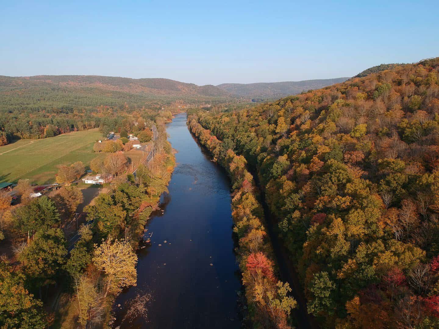
The Mohawk Trail follows Route 2 for 63 miles between Athol and Williamstown, and the Hairpin Turn near North Adams delivers one of the best sudden views in New England, the Hoosac Valley spread out in a wash of orange and red.
Mount Greylock, the state’s highest point at 3,491 feet, rises just off the route and offers a summit view worth the short detour. This road has been drawing leaf peepers since long before the phrase existed.
The trail dates back to a Native American footpath and later a stagecoach route, so the curves that make it fun to drive today were carved by centuries of travelers before the first car ever climbed them.
Where: Route 2, the Mohawk Trail, between Athol, Massachusetts and Williamstown, Massachusetts.
6. Historic Columbia River Highway, Oregon
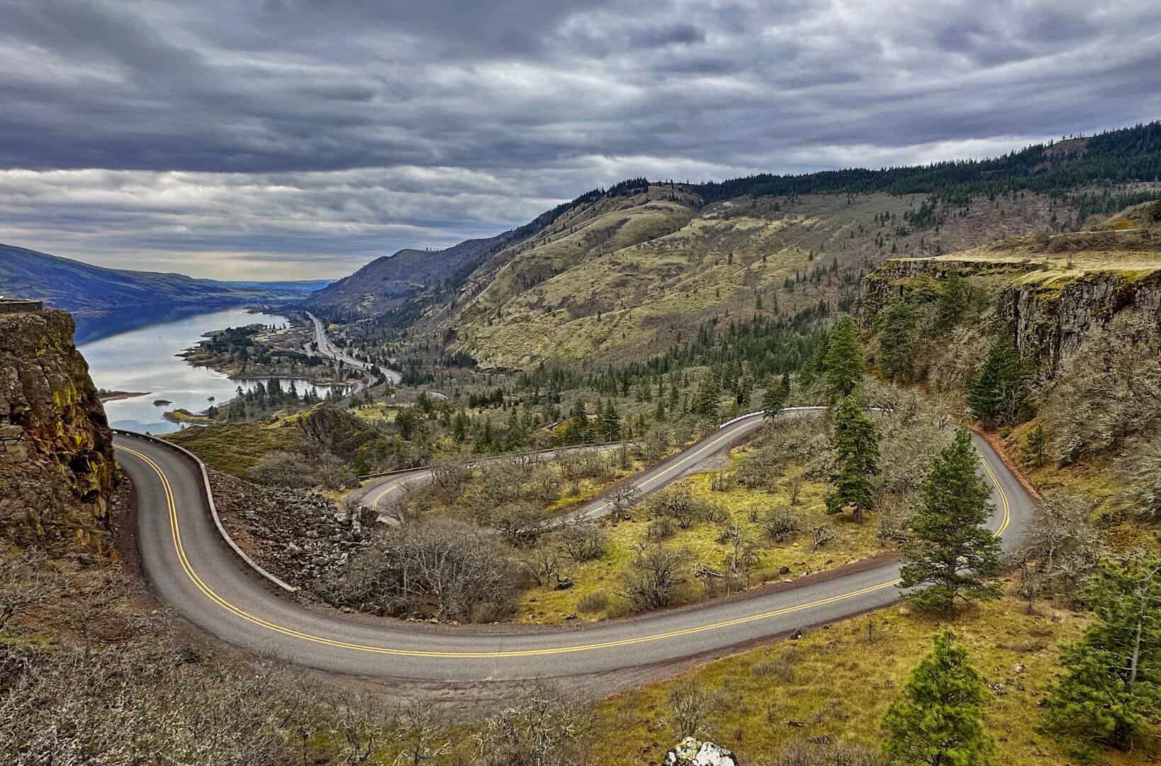
Built between 1913 and 1922, this was the first scenic highway ever constructed in the United States, and it still shows off why. US 30 winds along basalt cliffs between Troutdale and The Dalles, with Vista House at Crown Point offering a sweeping look down the gorge.
Multnomah Falls drops 620 feet just off the road, framed by vine maples that go crimson in October. Few drives anywhere pair a waterfall with fall color quite this dramatically.
Further east, the gorge shifts from lush and green to dry and golden as the highway climbs toward The Dalles, so the same short drive covers two entirely different kinds of autumn scenery.
Where: US Route 30, the Historic Columbia River Highway, between Troutdale, Oregon and The Dalles, Oregon.
7. Peak to Peak Scenic Byway, Colorado
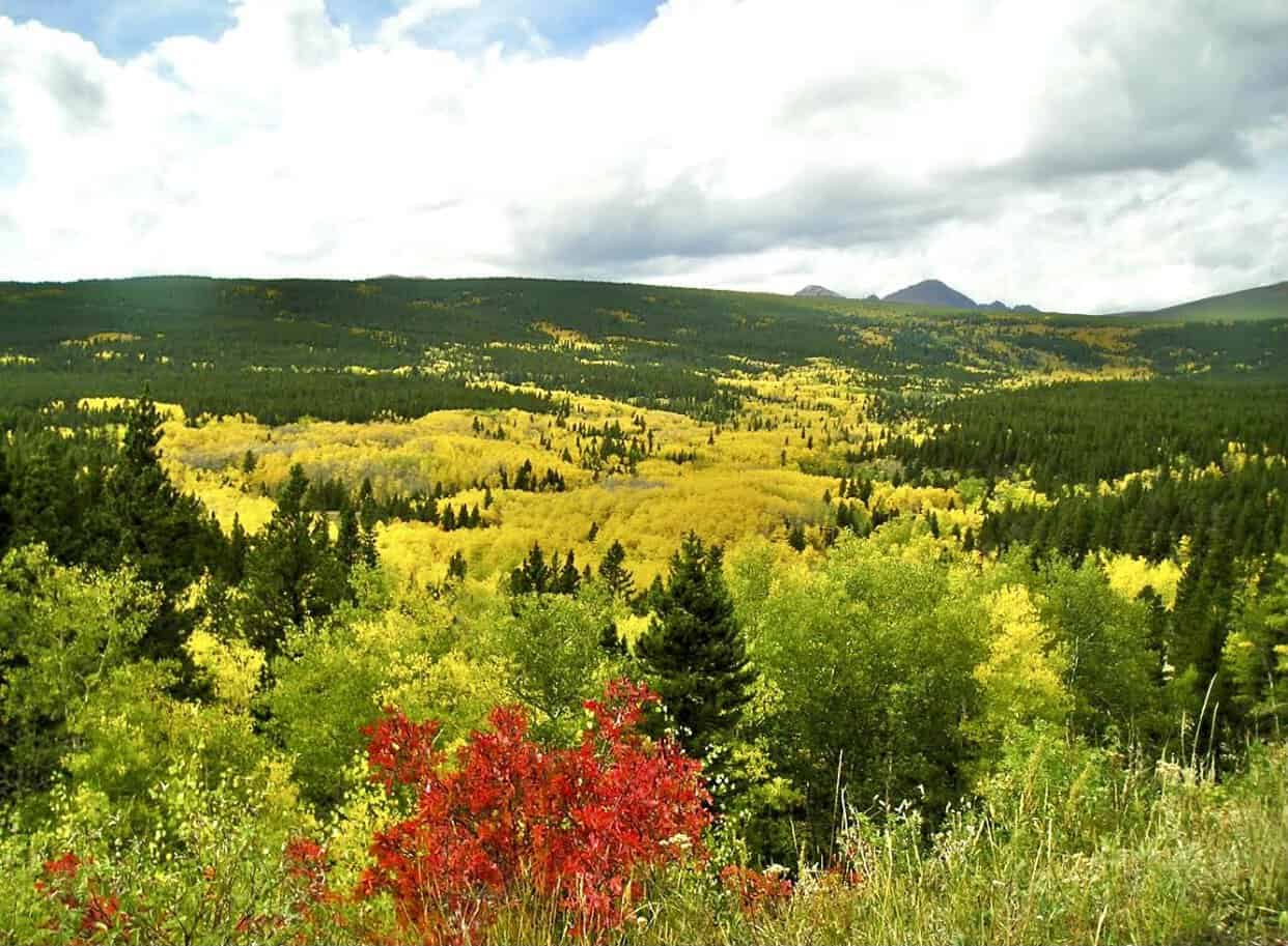
Established in 1918, Peak to Peak is Colorado’s oldest scenic byway, linking Estes Park to Black Hawk along Highways 7, 72, and 119 for roughly 55 miles. Aspen groves turn gold here in late September, set against a backdrop of snow already dusting the peaks.
The contrast between white summits and golden hillsides is the kind of thing that stops conversation in the car. Rocky Mountain National Park sits right alongside much of the route.
Aspens turn fast in the high country, often peaking and dropping within a two-week window, so this is one drive where checking a color report before you leave really pays off.
Where: Colorado Highways 7, 72, and 119, the Peak to Peak Scenic Byway, between Estes Park, Colorado and Black Hawk, Colorado.
8. Highway 42, Door County, Wisconsin
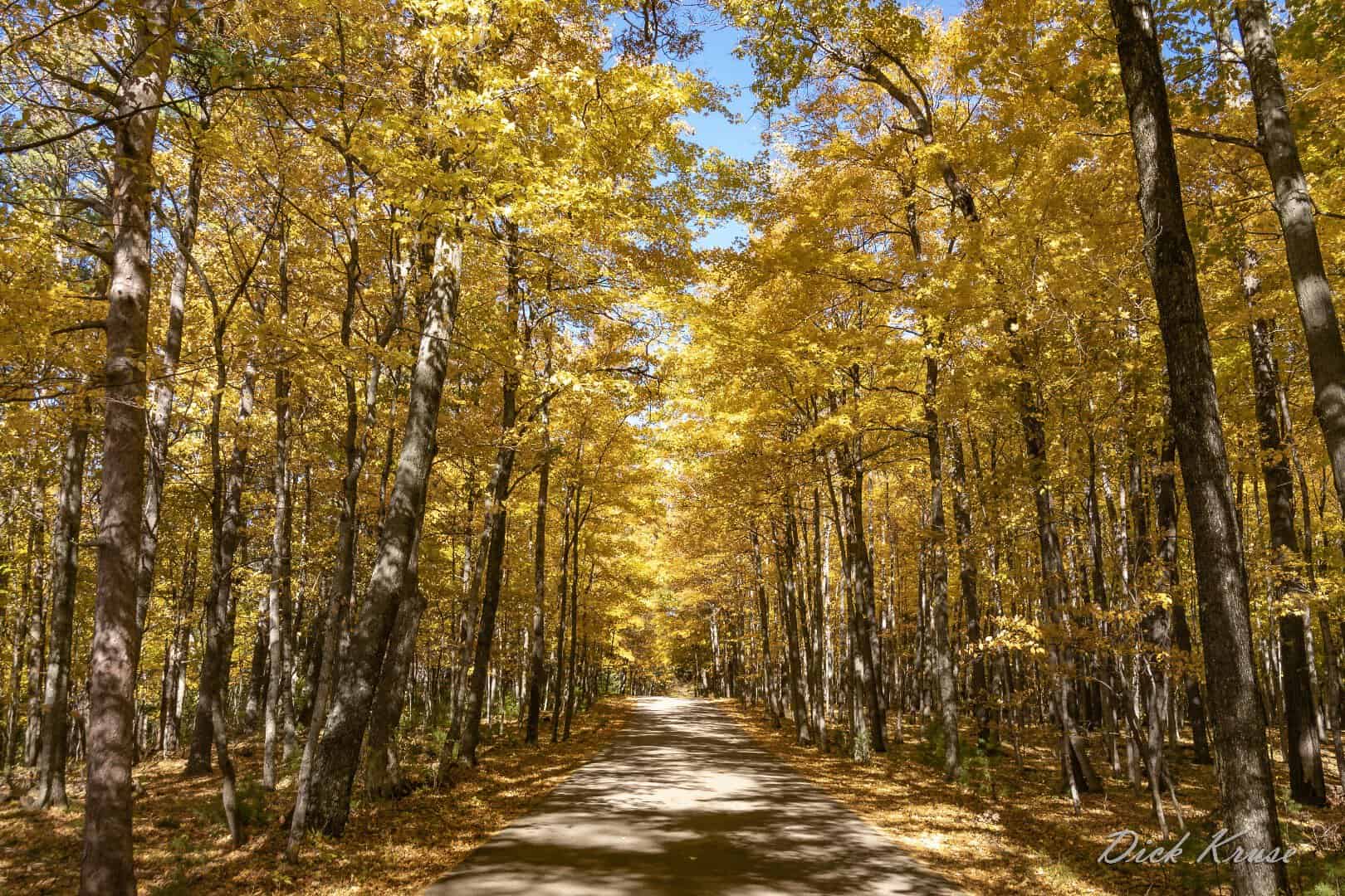
Door County calls itself Wisconsin’s thumb, and Highway 42 runs the length of the peninsula from Sturgeon Bay to Northport, past orchards heavy with apples and cherries and bluffs overlooking Lake Michigan and Green Bay.
Peninsula State Park sits along the route and turns into a wall of maple and birch color by early October. Roadside stands sell cider donuts the whole way, which makes stopping every few miles hard to resist.
Water on both sides of the peninsula softens the fall nights just enough to stretch the color season a little longer than inland Wisconsin gets, so the show tends to linger into mid October.
Where: Wisconsin Highway 42, from Sturgeon Bay, Wisconsin to Northport, Wisconsin, on the Door County peninsula.
9. Tunnel of Trees, Michigan
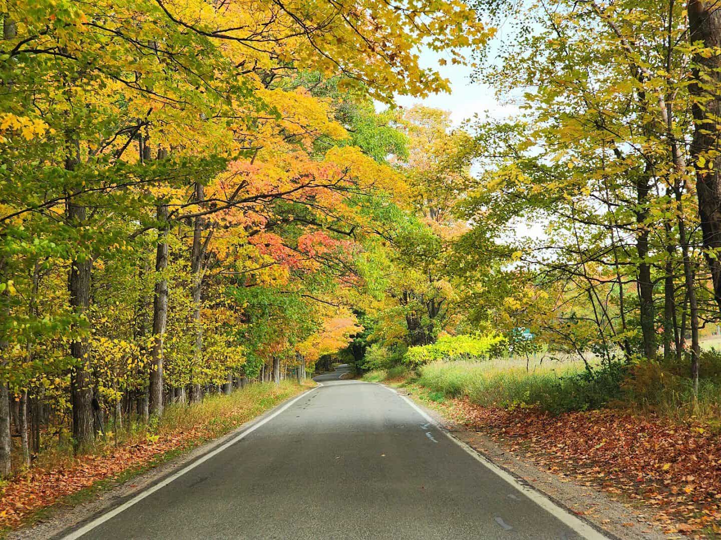
M-119 earns its nickname honestly. For 20 narrow miles between Harbor Springs and Cross Village, hardwood branches arch clean over the road, turning the drive into a real tunnel of red and gold by early October.
Bluffs along the route drop straight to Lake Michigan, and pullouts here and there offer a view of the water through gaps in the canopy. It is one of the few roads where the trees themselves are the entire point of going.
The road stays narrow and unlined on purpose, a deliberate choice to keep it slow and scenic rather than efficient. That trade-off is exactly why it still feels the way it did decades ago.
Where: M-119, the Tunnel of Trees, between Harbor Springs, Michigan and Cross Village, Michigan.
10. Talimena Scenic Drive, Arkansas
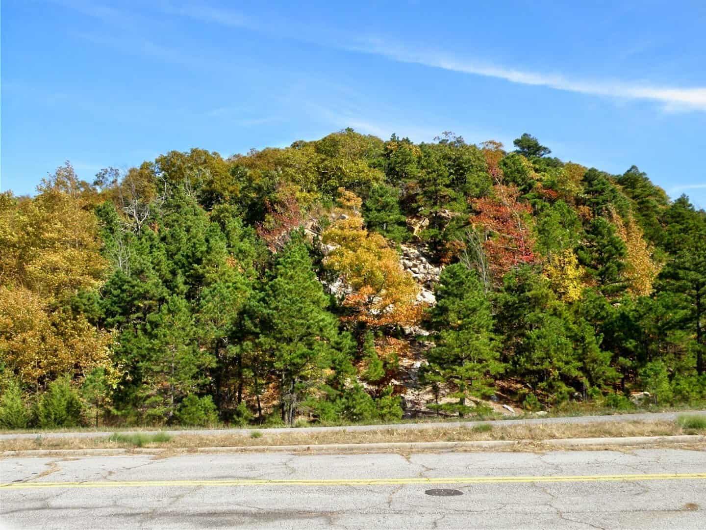
Talimena runs 54 miles along the crest of Rich Mountain and Winding Stair Mountain, its name built from Talihina, Oklahoma and Mena, Arkansas, the two towns anchoring each end. Twenty-two vista pull-outs line the route through the Ouachita National Forest.
Rich Mountain climbs to 2,681 feet, Arkansas’s second-highest point, and the hardwood forest blanketing it turns a deep rust by mid to late October. Few drives in the South cover this much ridge with this little traffic.
Queen Wilhelmina State Park sits near the summit, a good excuse to stretch your legs partway through and take in the ridge view from a fixed spot instead of a moving car.
Where: Talimena Scenic Drive, Arkansas Highway 88 from Mena, Arkansas into the Ouachita National Forest toward the Oklahoma line.
11. Ranch Road 337, Texas
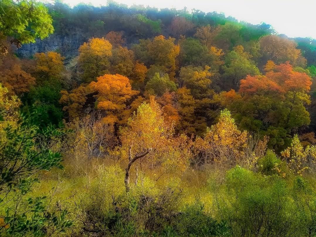
Texas is not the state most people picture when they think fall color, which is exactly why this stretch of the Hill Country surprises everyone who finds it. RR 337 winds through Vanderpool, Leakey, and Camp Wood, curling past canyons and river bottoms locals call the Three Twisted Sisters.
Right along the route sits Lost Maples State Natural Area, home to a rare stand of bigtooth maples that turn brilliant red and orange once a good cold front finally arrives, usually between late October and mid November. It is one of the best-kept secrets in American leaf peeping.
The park posts weekly fall color reports during the season, which is a smart thing to check before making the drive since a Texas autumn depends entirely on the timing of that first real cold snap.
Where: Ranch Road 337 through Vanderpool, Texas, Leakey, Texas, and Camp Wood, Texas, with Lost Maples State Natural Area five miles north of Vanderpool.
12. Cherohala Skyway, Tennessee
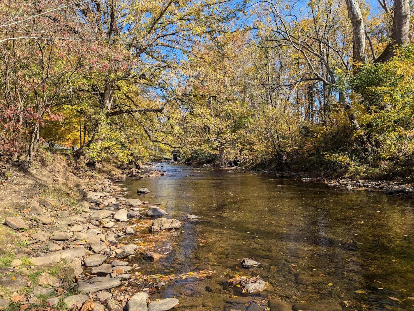
It took 34 years and roughly $100 million to finish this 43-mile road connecting Tellico Plains, Tennessee to Robbinsville, North Carolina, and every mile of the wait shows in the view. The route climbs Haw Knob past 5,000 feet, cresting the Cherokee and Nantahala National Forests.
Fall color here runs later than in the surrounding lowlands because of the elevation, often peaking in the last two weeks of October. Long sightlines from the ridge make it one of the few drives where you can watch a whole valley change color at once.
It also stays refreshingly uncrowded compared with its more famous cousins to the north, since fewer travelers make the trip down into this corner of the Appalachians.
Where: Cherohala Skyway, from Tellico Plains, Tennessee to Robbinsville, North Carolina, through the Cherokee National Forest.
Start Planning Your Own Leaf-Peeping Route
Fall does not sit still for long in any of these places, so the best plan is a loose one. Watch the color reports, pack a thermos, and give yourself permission to pull over whenever the view demands it.
Whether you chase the maples of New England, the aspens of Colorado, or the quiet surprise waiting off a Texas ranch road, the season only asks one thing of you: slow down enough to actually see it.
Every one of these roads existed long before anyone called them scenic drives. They were just the way through, and fall simply happens to be the season that shows them off best. Go find your own stretch of road this year.
Featured image: Vivek Shankar Acharya via Vermont Rte 100

Stella Raines
Editor-in-Chief
Stella brings over a decade of storytelling experience to TX Headlines. With roots in West Texas and a love for road trips, she leads the editorial team with an eye for the hidden stories that make Texas unforgettable.