10 Texas Road Trips That Deliver Jaw-Dropping Views Around Every Bend
I have driven more of Texas than I can count, and here is the secret the map never tells you: in a state this big, the drive is the destination. You do not grind through the miles to reach the good part.
The road itself, the slow reveal of a canyon or a coastline through the windshield, that is the reward. Texas holds some of the most jaw-dropping scenery in the country, and the best of it is strung along ten legendary drives.
Below, I have mapped ten road trips worth pointing the car toward, each one anchored on a view that will make you pull over and just stare.
1. Ross Maxwell Scenic Drive, Big Bend National Park
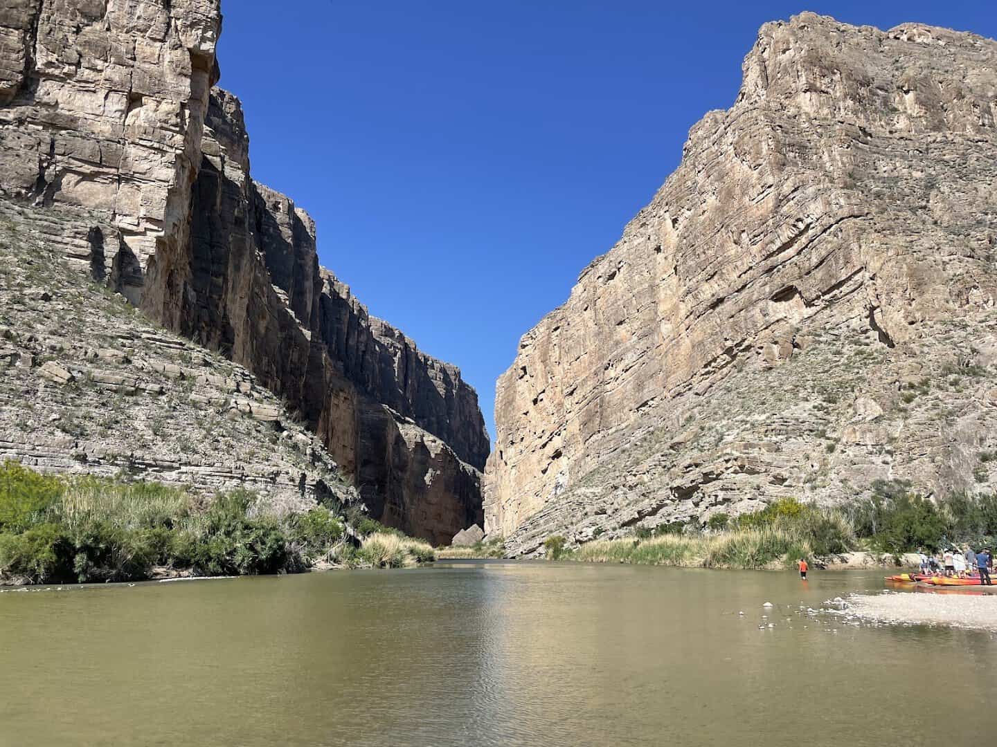
This is the drive that ruins you for ordinary highways. The Ross Maxwell Scenic Drive runs nearly 31 paved miles south through Big Bend, climbing past volcanic peaks and desert washes before delivering you to the grand finale.
That finale is Santa Elena Canyon, where limestone cliffs shoot 1,500 feet straight up out of the Rio Grande. Stop at the overlook, read the story of the first rafters who ran it, then walk the short trail to the river. You will not stop grinning.
Give yourself a full morning for the drive, and pack water. This is remote country with no services along the way, and the desert light shifts by the hour, gold at dawn and deep amber by late afternoon.
Along the way, pull off at the Sotol Vista overlook, where the whole western half of the park spreads out below you, and at the old Castolon settlement down near the river. Both are worth a stop, and neither adds much time to the drive.
Where: Ross Maxwell Scenic Drive, Big Bend National Park, TX. Enter via TX-118 from Study Butte or US-385 from Marathon.
2. Willow City Loop, Willow City
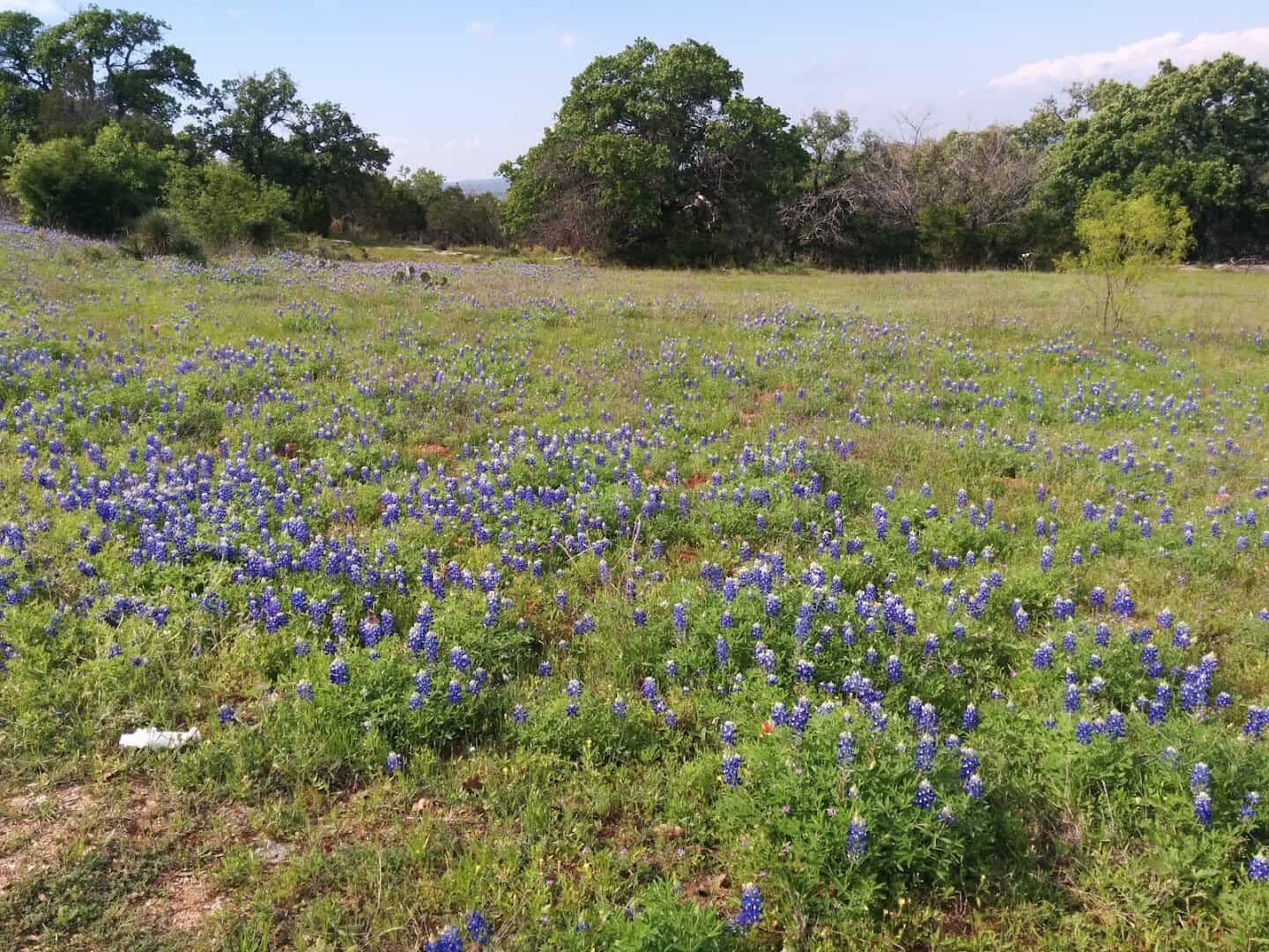
Come spring, this 13-mile ranch road turns into the most photographed strip of pavement in the Hill Country. Bluebonnets, Indian paintbrush, sunflowers, and poppies pour down the hillsides on both sides of the car.
The loop winds through rugged canyons and over rocky hilltops, with low-water crossings and free-range cattle that have the right of way. Drive it on a weekday when the crowds thin out. Stay on the road, since the land on either side is private ranch.
Did you know the loop is free and open all year? Even outside wildflower season, the granite outcrops, live oaks, and grazing longhorns make the 13 miles worth the detour off Highway 16.
Where: Willow City Loop, Willow City, TX. From Fredericksburg, take TX-16 north to Ranch Road 1323.
3. El Camino del Rio, Big Bend Ranch State Park
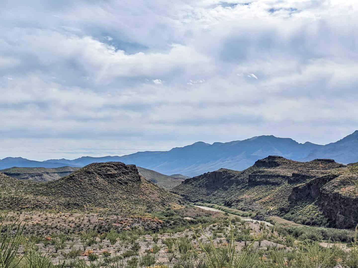
National Geographic once called this “may well be the prettiest drive in America,” and they were not exaggerating. FM 170, the River Road, runs over 50 miles along the Rio Grande between Lajitas and Presidio.
The road dips and climbs through raw desert mountains, hitting a legendary grade called the Big Hill where the whole river valley opens up beneath you. Take it slow. The pavement is narrow with almost no shoulder, and the views on both banks belong on a postcard.
Fuel up before you start, because services are scarce between the two towns. Stop at the roadside teepee shelters and the old Contrabando movie set, and watch for javelina crossing the pavement at dusk.
Where: FM 170 (River Road), between Lajitas and Presidio, TX, through Big Bend Ranch State Park.
4. Ennis Bluebonnet Trails, Ennis
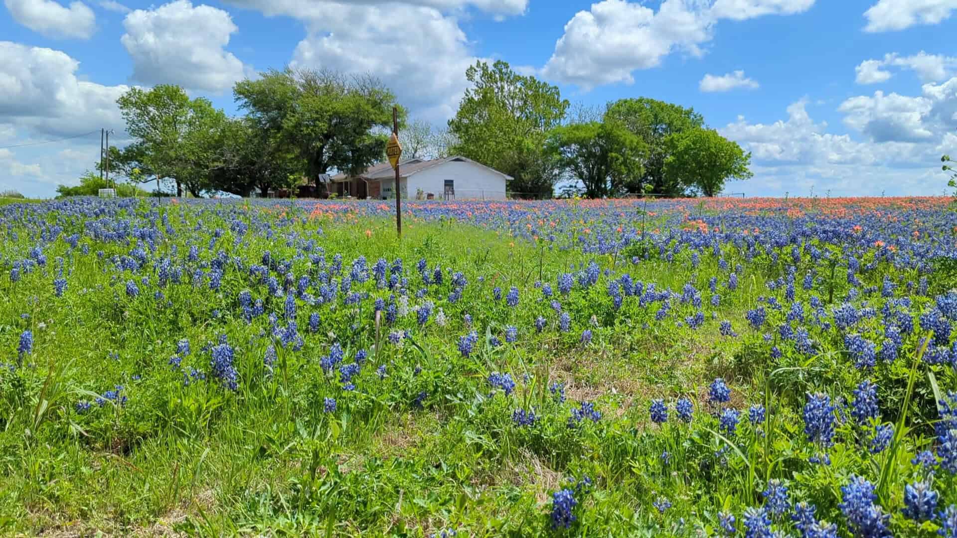
The Texas Legislature named Ennis the official Bluebonnet City of Texas, and the town earned it. Every April the Ennis Garden Club maps out more than 40 miles of driving trails through the surrounding countryside.
These are the oldest bluebonnet trails in the state, and when the flowers peak around the third week of April, the fields glow that unmistakable Texas blue. Grab a free trail map, roll the windows down, and let the back roads lead you from one blue field to the next.
The town throws a Bluebonnet Trails Festival the same weekend, with food, music, and craft vendors filling downtown. Bloom timing shifts with the weather each year, so call ahead before you make the trip.
Spring is the whole show here, but the peak is a moving target. Some years the bluebonnets run thick and early; others they hold off until the last days of April. The Welcome Center posts bloom updates, so check before you load the car.
Where: Ennis Bluebonnet Trails, Ennis, TX. Roughly 35 miles south of Dallas off I-45. Maps from the Ennis Welcome Center.
5. Padre Island National Seashore, Corpus Christi
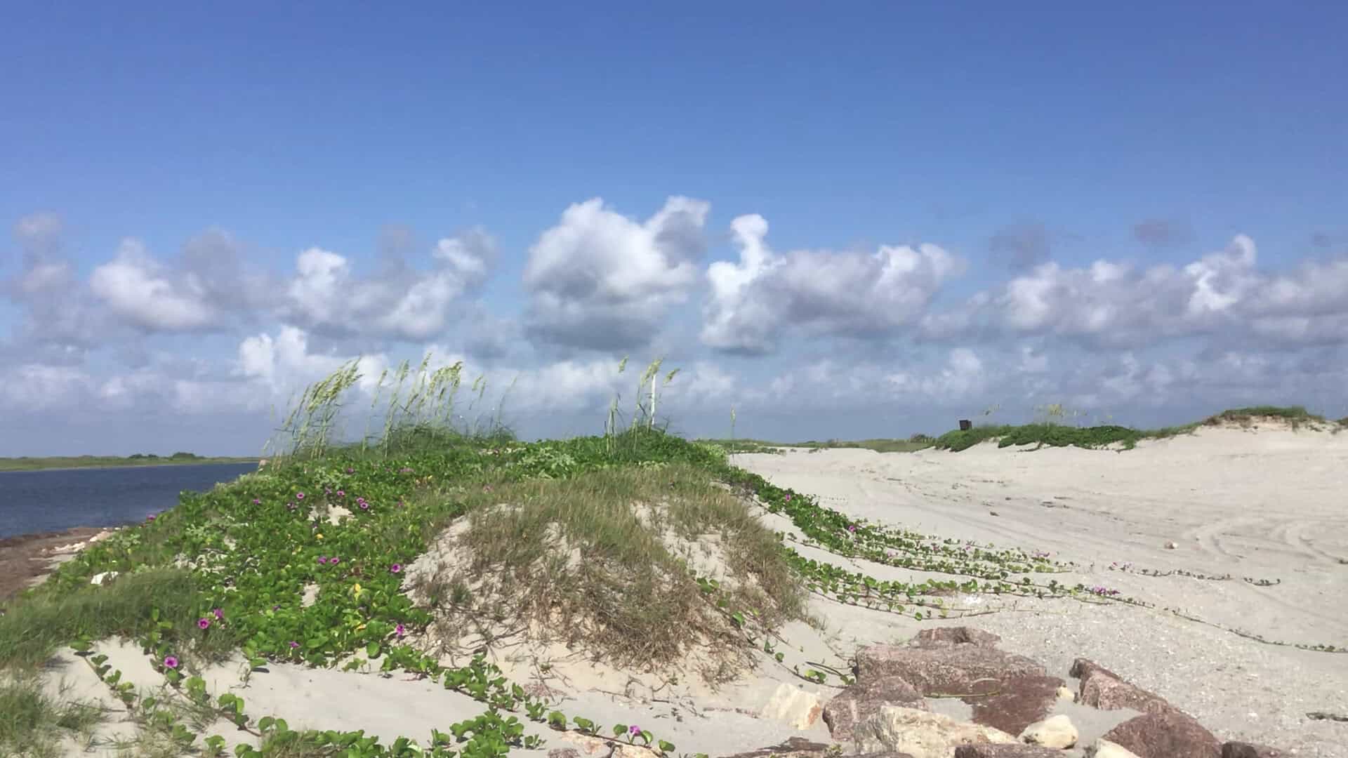
Some road trips end at the beach. This one is the beach. Padre Island National Seashore protects 66 miles of undeveloped shoreline, the longest stretch of barrier island beach left in the world.
Park Road 22 delivers you to the sand, and when conditions allow you can drive right onto the beach as far as your nerve holds. Dunes, sea oats, and shorebirds line the way. Two-wheel drive is fine to Mile Marker 5, and four-wheel drive takes you deeper.
Check the beach conditions at the visitor center before you drive out, and let some air out of your tires for traction. Endangered sea turtles nest here in summer, and rangers sometimes release the hatchlings at dawn.
Sunrise over the Gulf is worth the early alarm, and the farther south you drive down the sand, the fewer tire tracks you will see in front of you. Somewhere past the crowds, it starts to feel like your own private coastline.
Where: Padre Island National Seashore, 20420 Park Road 22, Corpus Christi, TX.
6. The Twisted Sisters, Leakey
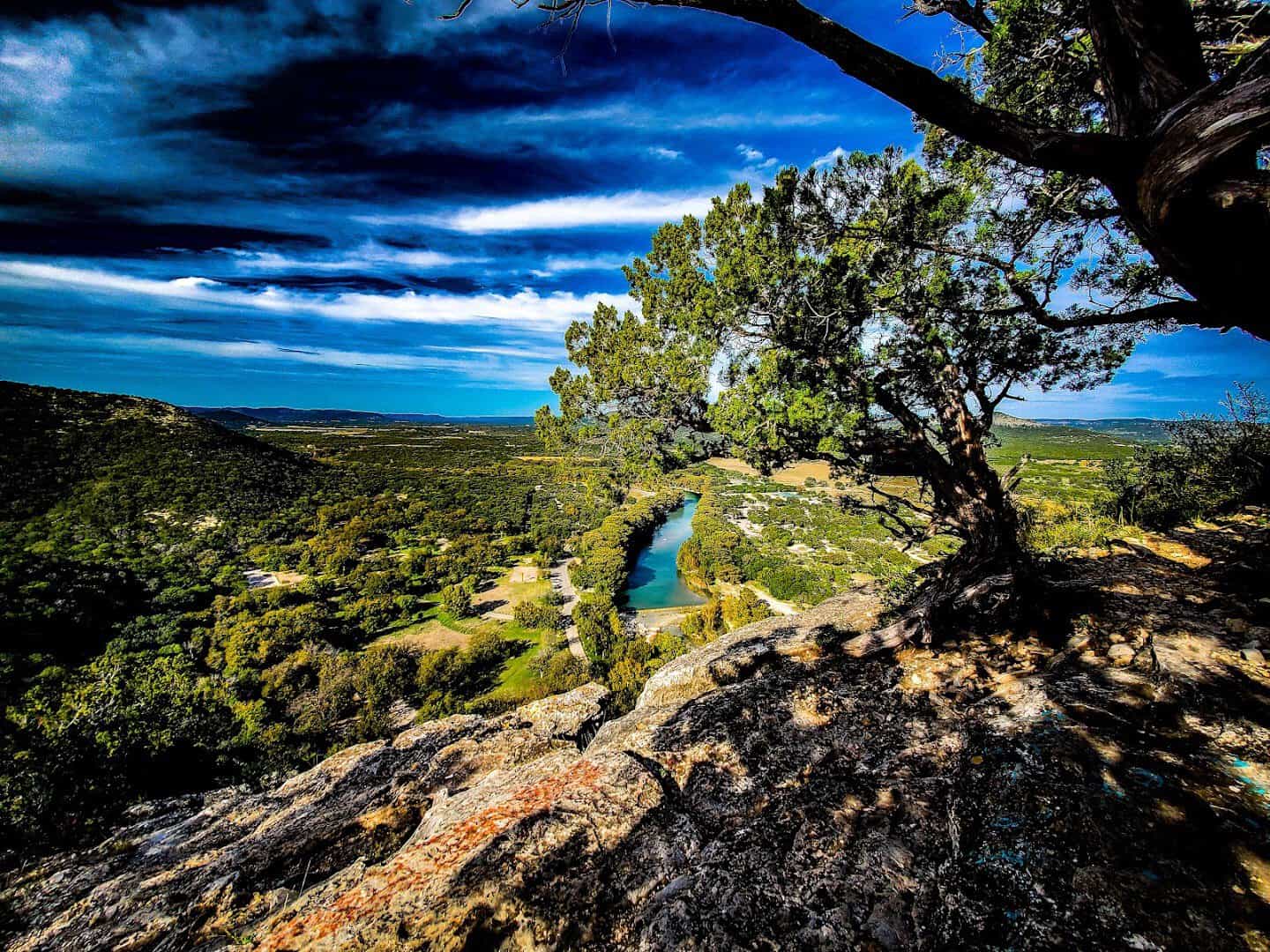
Ask any motorcyclist in Texas for the best ride in the state and you will hear the same three numbers: 335, 336, and 337. The Twisted Sisters string these ranch roads into a roughly 100-mile loop of nonstop curves northwest of San Antonio.
One 15-mile stretch alone packs in nearly 65 turns, climbing over Hill Country ridges and diving into the Frio River valleys. Four wheels or two, it is a joy. Start in Medina or Leakey, take it slow through the switchbacks, and stop at every overlook.
The Frio Canyon Motorcycle Stop just west of Leakey calls itself the official headquarters of the Three Sisters, and it is the place to grab a burger and swap stories. Cell service vanishes out here, so download your route first.
Where: Ranch Roads 335, 336, and 337. Loop from Medina or Leakey, TX, northwest of San Antonio.
7. Caddo Lake, Karnack
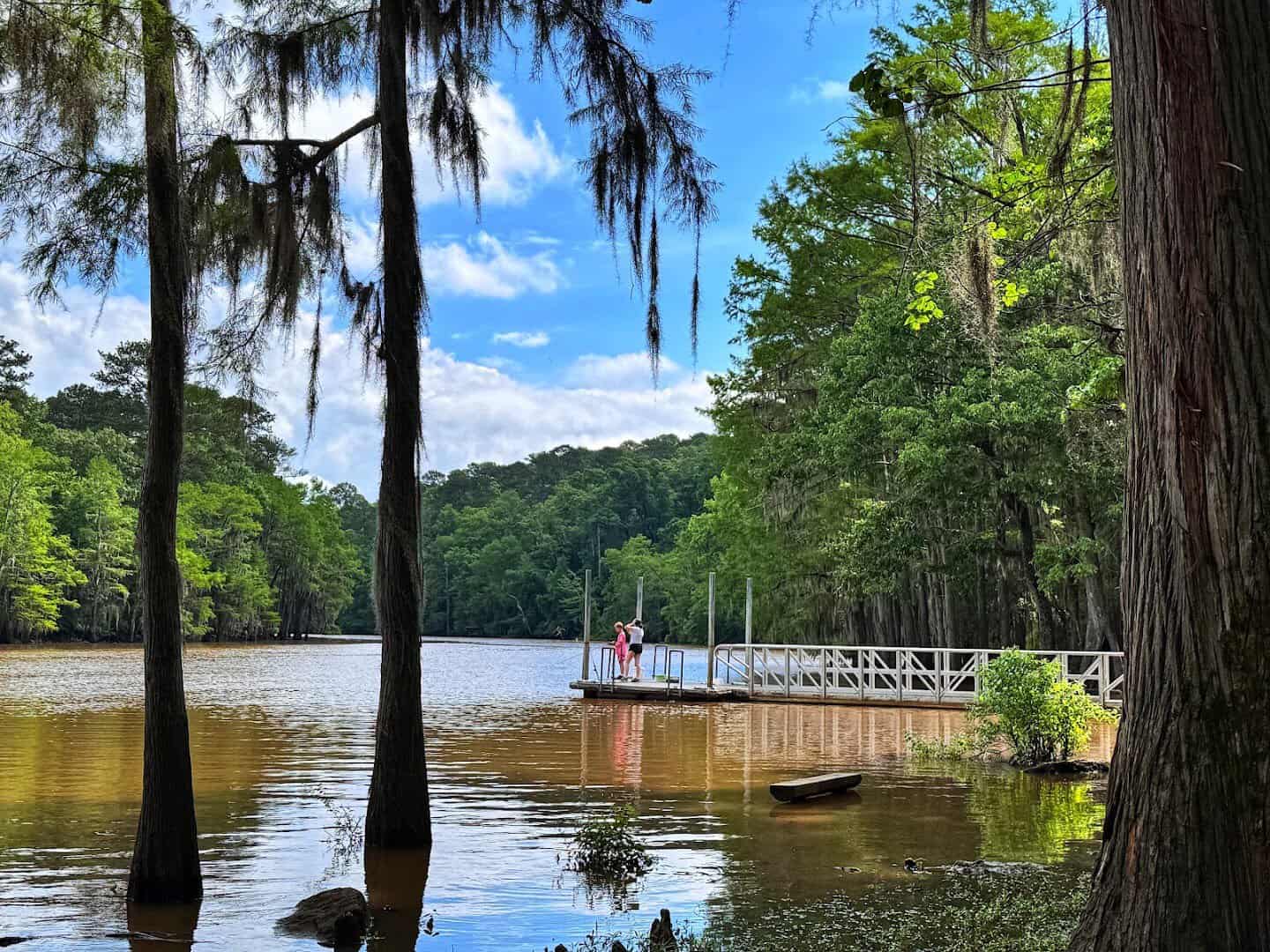
Drive far enough into East Texas and the landscape stops looking like Texas at all. Around Caddo Lake, spire-like cypress trees draped in Spanish moss rise straight out of the water, and the back roads wind through a maze of bayous.
The State Park entrance sits off TX-43 south of Karnack, near the tiny town of Uncertain. Take the scenic loops through the Cypress Bayou basin, park at a viewpoint, and watch herons stalk the shallows under that green canopy.
Book a guided boat tour out of Uncertain to slip deep into the flooded forest, where the channels narrow and turtles sun on the logs. Morning fog over the cypress is the shot everyone comes for.
Sunrise is the magic hour out here, when mist hangs low over the water and the cypress knees poke up like something from a fairy tale. Bring a light jacket even in warm months, because mornings on the water stay cool.
Where: Caddo Lake State Park, 245 Park Road 2, Karnack, TX. Near Uncertain, off TX-43.
8. Guadalupe Mountains Drive, Pine Springs
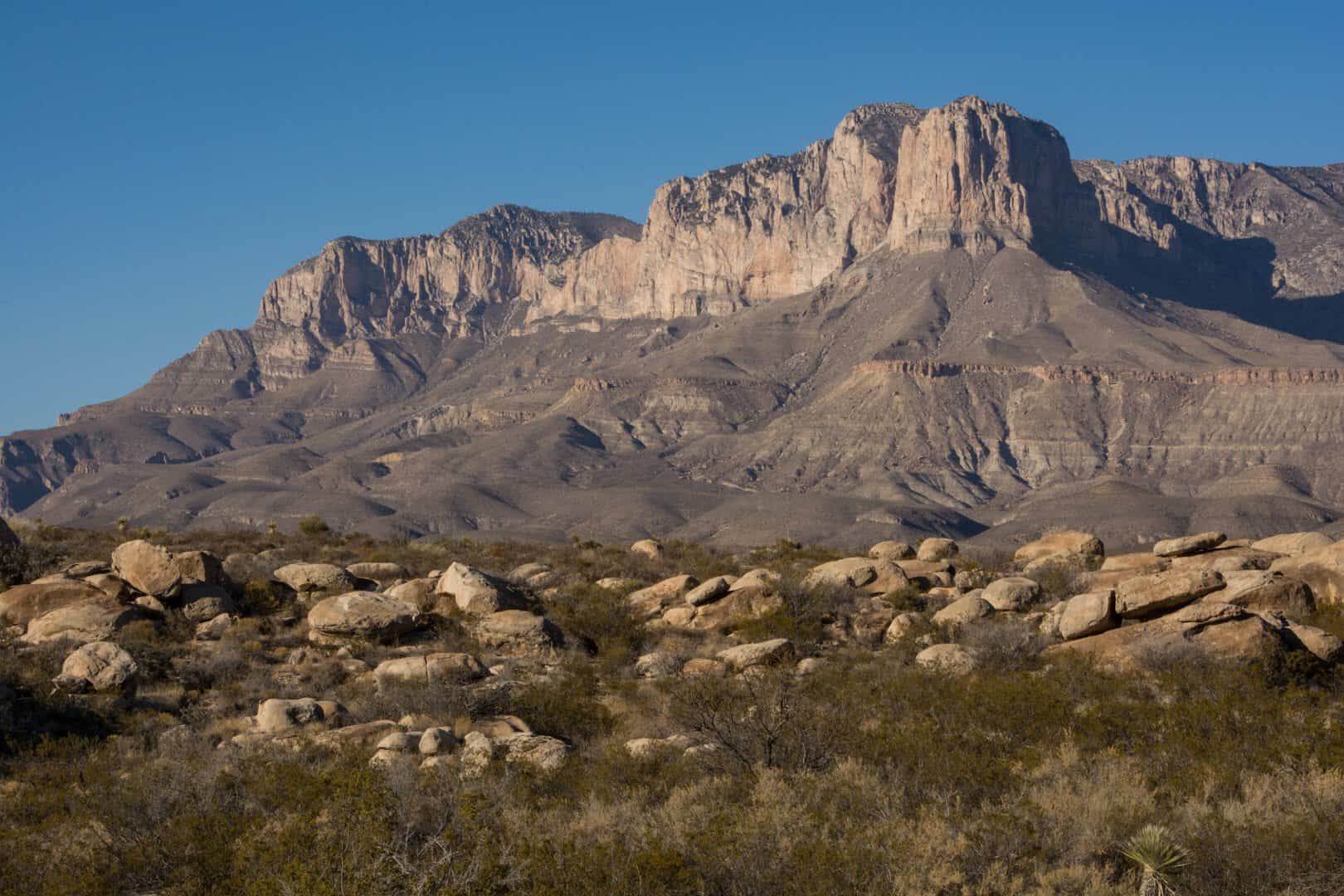
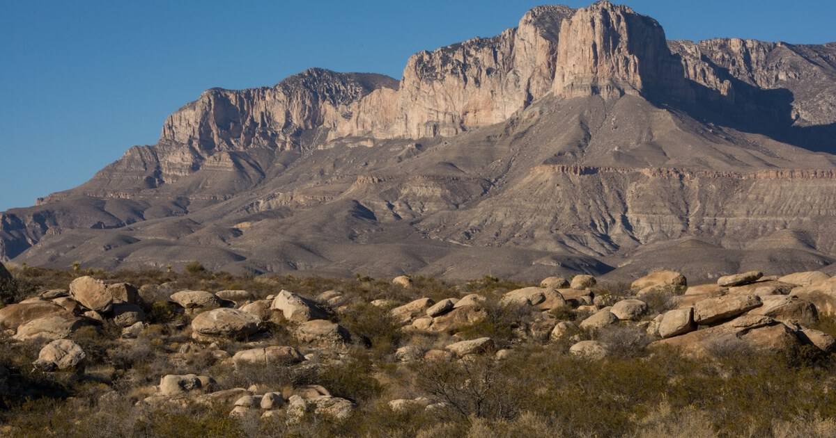
The single most iconic silhouette in Texas is not a building. It is El Capitan, the sheer limestone prow that rises 8,085 feet along US-62/180 in far West Texas, a landmark that has pointed travelers home for generations.
The drive to the Guadalupe Mountains crosses stark salt flats and desert before the range suddenly walls up ahead of you. Just behind El Capitan hides Guadalupe Peak, the highest point in the whole state. Pull off at the roadside viewpoint and let the scale of it land.
Time your visit for late October and the canyons blaze with bigtooth maple, a rare splash of fall color in West Texas. The visitor center at Pine Springs has water and maps before you head higher.
Where: El Capitan viewpoint on US-62/180, Guadalupe Mountains National Park, Pine Springs, TX. About 110 miles east of El Paso.
9. Inks Lake and the Highland Lakes, Burnet
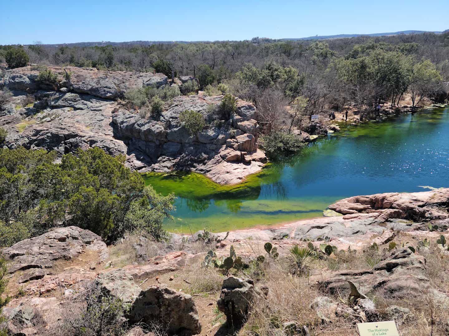
Not every great Texas view is a desert or a canyon. In the Highland Lakes, pink granite meets blue water, and Park Road 4 traces the shoreline of Inks Lake through some of the prettiest country in Central Texas.
The crown jewel is Devil’s Waterhole, a natural grotto ringed by granite boulders and cliff-jumping ledges. The stone here is ancient Valley Spring gneiss, glowing rose-pink against the water. It is a swimming hole, a photo stop, and a reason to slow the drive down.
Rent a kayak or canoe at the park store and paddle the constant-level lake, or cast for bass off the granite banks. Fall and spring are the sweet spots, when the light turns the stone a deeper rose.
The park fills up fast on summer weekends, so an early arrival is the difference between a quiet swim and a packed lot. Weekday mornings and the shoulder seasons are the sweet spot, when you can have a stretch of pink granite shoreline almost to yourself.
Where: Inks Lake State Park, 3630 Park Road 4 West, Burnet, TX.
10. Galveston Seawall, Galveston Island
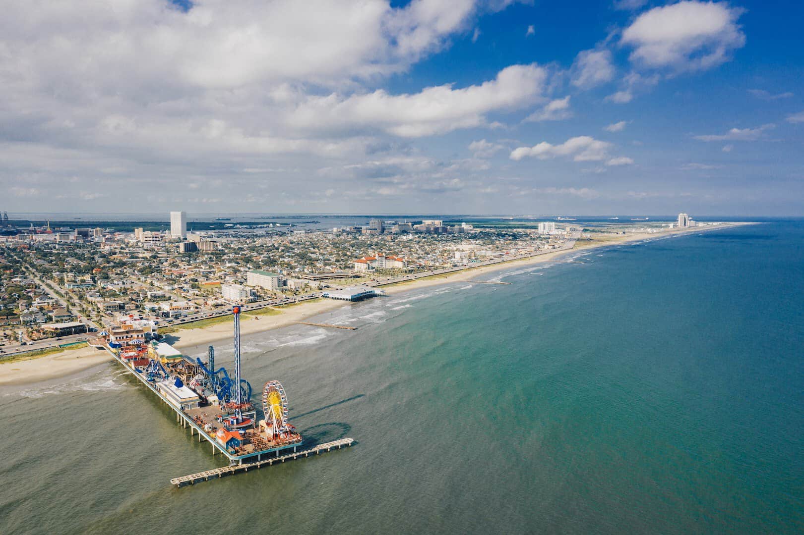
End your Texas road-tripping where the whole state meets the Gulf. Seawall Boulevard runs more than 10 miles along the Galveston waterfront, backed by the longest continuous sidewalk in the country and a wall built after the deadly 1900 storm.
Roll along with the windows down, the Gulf breeze coming off the water and the beaches, restaurants, and old resorts sliding past. Time it for sunset, when the light goes gold over the waves. It is the perfect place to park the car and finally get out.
Stop at the Pleasure Pier, wander the historic beach houses along the boulevard, or pull up to Murdoch’s over the water for a cold drink. It is a fitting finish, with the whole Gulf spread out in front of you.
Where: Seawall Boulevard, Galveston, TX. Runs roughly 10 miles along the Gulf of Mexico.
Start Planning Your Texas Road Trip
Ten drives, one enormous state, and enough scenery to fill a lifetime of weekends. Whether you point the car toward the desert mountains, the wildflower hills, or the Gulf shore, the Texas road is the whole reward.
Fill the tank, cue up a good playlist, and go see it for yourself.
Featured image: Featured image: Bill Leland via Big Bend Ranch State Park

Stella Raines
Editor-in-Chief
Stella brings over a decade of storytelling experience to TX Headlines. With roots in West Texas and a love for road trips, she leads the editorial team with an eye for the hidden stories that make Texas unforgettable.