10 Best Road Trips in the American Southwest
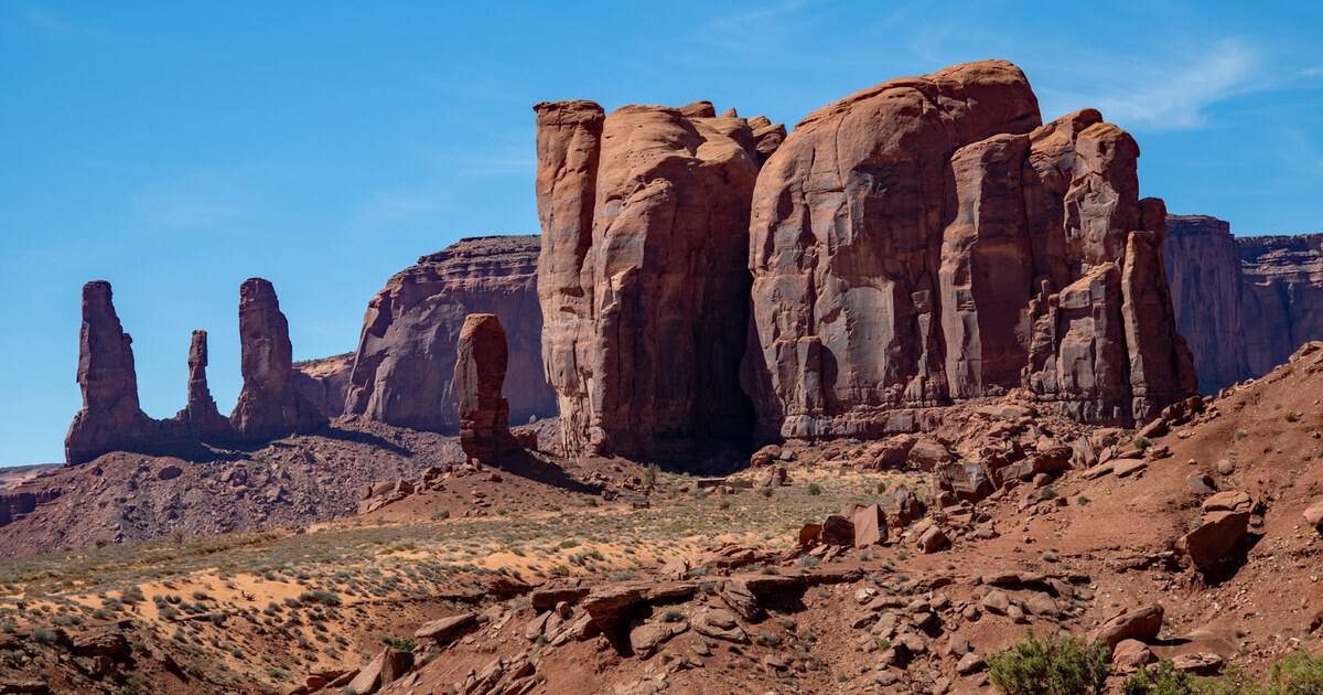
Ask me to name the part of the country built for a full tank of gas and an open calendar, and I will point west every single time. The Southwest is where the road itself becomes the reason to go.
Red rock and high desert, canyon rims and mountain passes, ghost towns and dune fields, all strung together by highways that feel like wide-open freedom. Below, I have mapped ten drives worth clearing a weekend, or a week, to chase.
Some are lazy loops you can finish in an afternoon. Others earn a few nights and a cooler in the back seat. Every one of them rewards the person who rolls the windows down and lets the scenery set the pace.
1. Sedona to the Grand Canyon, Arizona
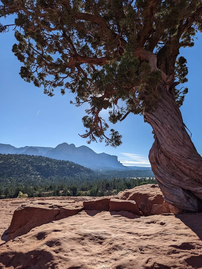
Start among the red rocks and end at the edge of the world. This route climbs out of Sedona on State Route 89A, threading the switchbacks of Oak Creek Canyon before the pines of Flagstaff take over.
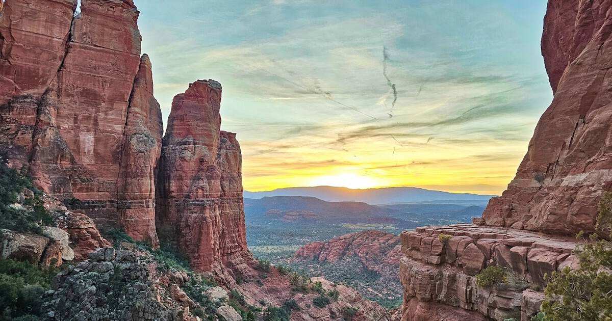
You will want to stop early and often. Cathedral Rock and Bell Rock glow like embers at golden hour, and the creek runs cold and clear beneath the canyon walls. Then State Route 180 delivers you to the South Rim, where a mile-deep chasm makes every photo look faked.
Pro tip: pull off at the Oak Creek Vista overlook near the top of the canyon, where Navajo and Hopi artisans often sell jewelry from roadside tables. The pines up here smell like warm butterscotch on a hot afternoon.
Give yourself a full day. The 110 miles are short, but you will not want to hurry a single one of them.
Where: Begin in Sedona, Arizona, and follow SR 89A north to Flagstaff, then SR 180 to Grand Canyon Village, Arizona.
2. Scenic Byway 12, Utah
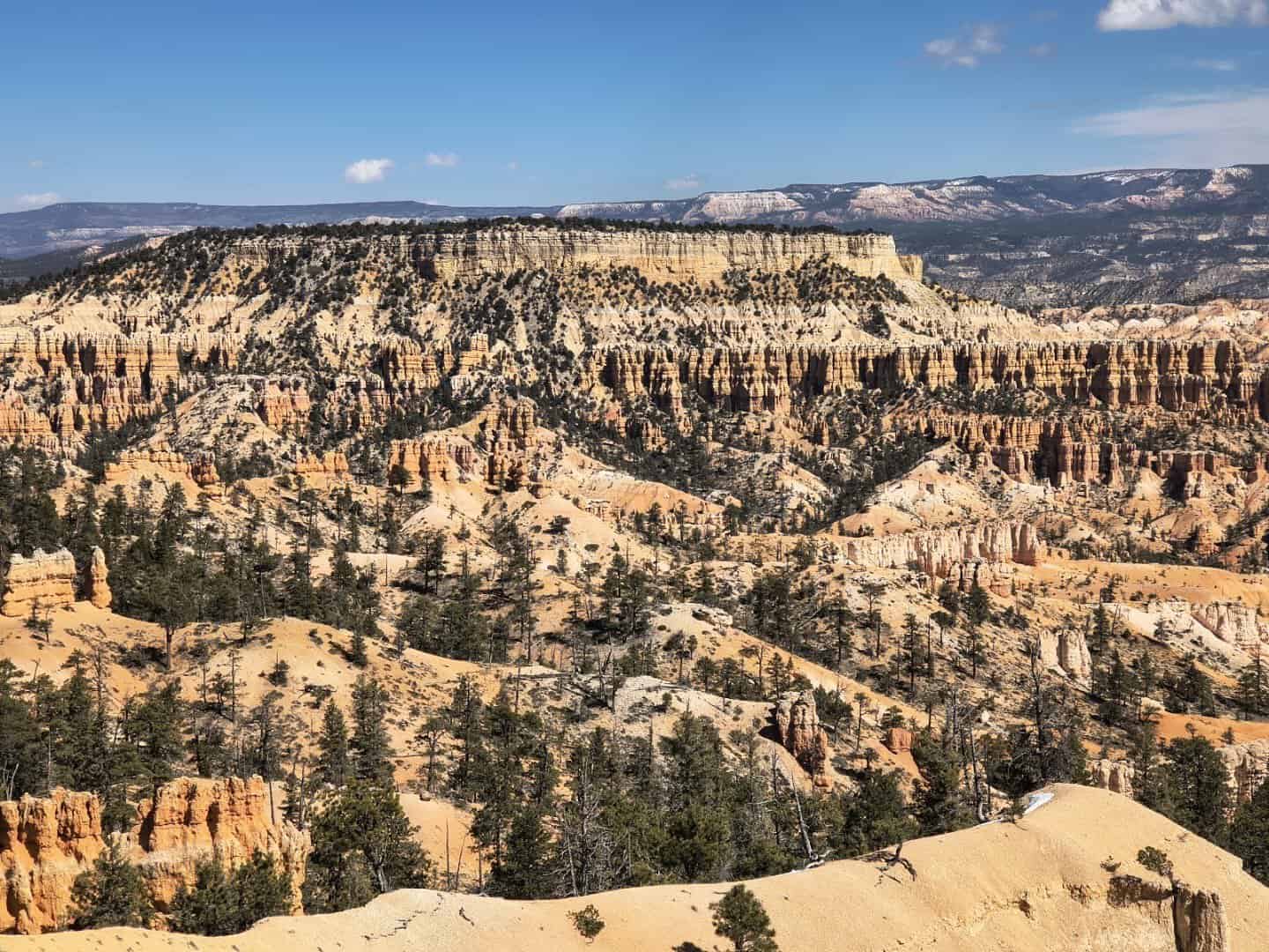
Utah calls Highway 12 “A Journey Through Time,” and the name earns itself around every bend. This 122-mile ribbon links Bryce Canyon to Capitol Reef, and the middle stretch is pure drama.
Bryce greets you with an amphitheater of orange hoodoos, thousands of stone spires packed together like a crowd frozen mid-cheer. Farther on, the road climbs the Hogback, a knife-edge ridge with canyon falling away on both sides and no guardrail to soften the view.
Boulder and Escalante bookend some of the emptiest, most beautiful country in the lower 48. Fuel up when you can, because gas stations grow rare and the scenery never does.
Break the drive at Kiva Koffeehouse, a stone-and-timber cafe perched on a cliff above the Escalante River, or hike to Lower Calf Creek Falls, where a 126-foot waterfall drops into a green pool. Both make the long stretches feel earned.
Where: Utah Scenic Byway 12 runs between Bryce Canyon City and Torrey, Utah, through Escalante and Boulder.
3. The San Juan Skyway, Colorado
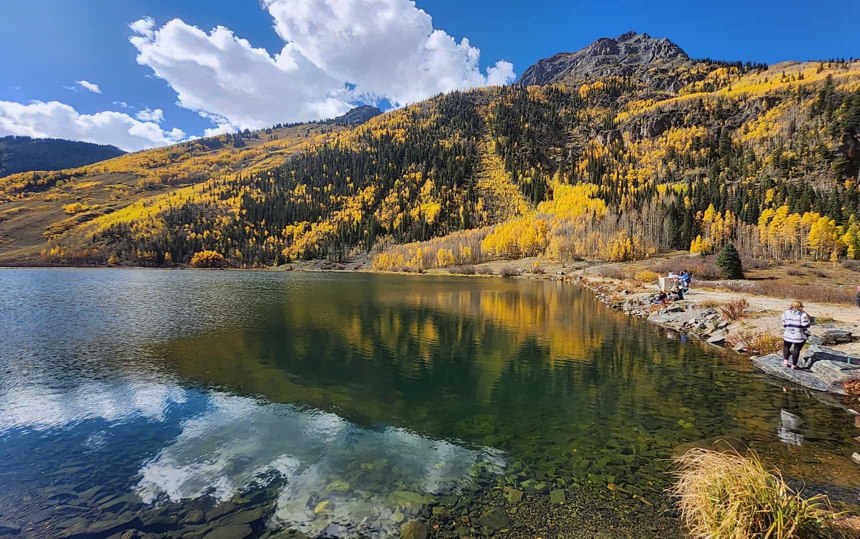
They call Ouray the “Switzerland of America,” and one look at the peaks stacked above town tells you why. The San Juan Skyway loops 236 miles through southern Colorado’s tallest country, and its crown jewel is the Million Dollar Highway.
That stretch of US 550 climbs over Red Mountain Pass at more than 11,000 feet, hugging cliffs with switchbacks that concentrate the mind wonderfully. Waterfalls spill beside the pavement and old mining headframes cling to the slopes.
Loop through Durango, Silverton, and Telluride to complete the circle. Come in late September and the aspens turn the whole range gold.
Silverton still looks like a set from a Western, its main street lined with false-front storefronts at 9,300 feet. Ride in on the historic Durango and Silverton Narrow Gauge Railroad if you want someone else to do the driving through the gorge.
Where: The San Juan Skyway loops through Durango, Silverton, Ouray, and Telluride, Colorado, on US 550 and State Highways 145 and 62.
4. Big Bend and Marfa, Texas
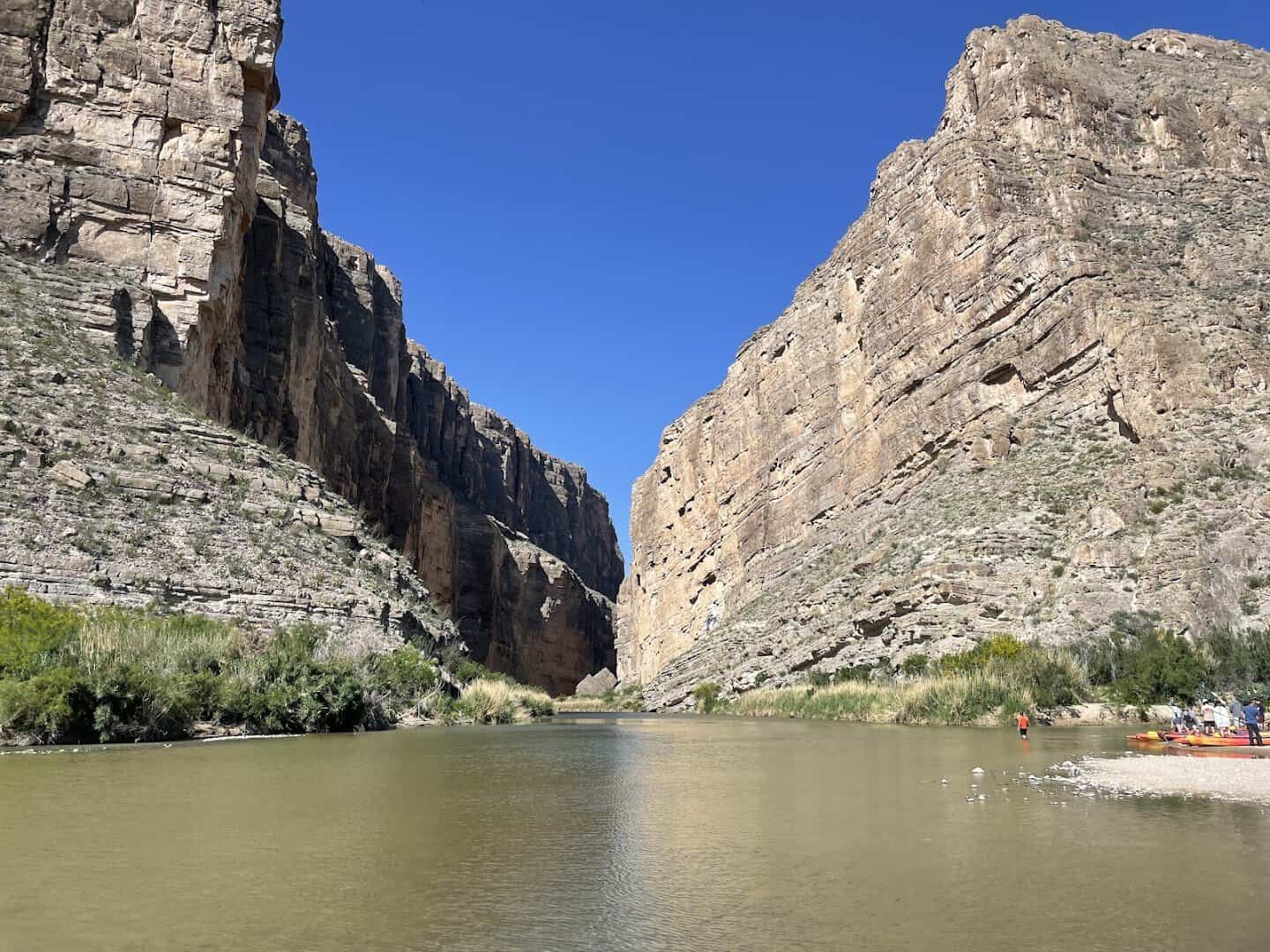
West Texas hides one of the country’s great desert drives, and hardly anyone is in your way. Big Bend National Park sprawls against the Rio Grande, and the Ross Maxwell Scenic Drive carries you straight to Santa Elena Canyon, where 1,500-foot walls pinch the river into a slot.
Then swing north to Marfa, the tiny high-desert town that art made famous. Donald Judd’s giant concrete works sit out on the grassland, the mysterious Marfa Lights flicker on the horizon, and Prada Marfa stands alone beside the highway like a mirage.
Terlingua’s ghost town sits between them, a fine spot for a porch and a sunset. Order a bowl of red at the old trading post and watch the Chisos Mountains fade to purple.
Save plenty of time for the drive itself. Ranch Road 170 along the Rio Grande, sometimes called the River Road, ranks among the most scenic paved miles in Texas, dipping and climbing beside the water with Mexico rising on the far bank.
Where: Big Bend National Park lies south of Marathon, Texas; drive US 90 and US 67 to reach Marfa, Texas.
5. Valley of Fire, Nevada
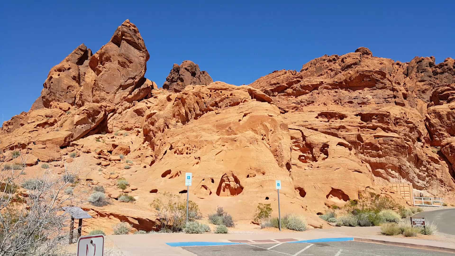
Less than an hour northeast of the Las Vegas Strip, the desert turns the color of flame. Valley of Fire is Nevada’s oldest state park, opened in 1935, and its Aztec sandstone glows so red at sunset that the name feels literal.
The scenic drive winds past Elephant Rock, the swirling Fire Wave, and ancient petroglyphs pecked into the stone at Atlatl Rock. Bighorn sheep pick their way across the ridges, and the whole place looks like another planet.
Did you know movie crews love this spot? The park doubled as an alien world in more than one blockbuster, and one look at the twisted red formations tells you why the cameras keep coming back.
Pair it with a loop through Red Rock Canyon closer to the city, and you have a full day of scenery a short hop from the neon. Go early, because the sandstone bakes hot by midday and the light is softest at dawn.
Where: Valley of Fire State Park, 29450 Valley of Fire Highway, Overton, Nevada, off Interstate 15.
6. Moab: Arches and Canyonlands, Utah
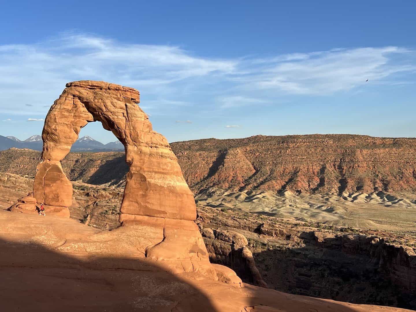
Two national parks sit within minutes of one small town, and Moab is the base camp everyone loves. Arches protects more than 2,000 natural stone arches, and Delicate Arch, the one on the license plate, frames the La Sal Mountains behind it.
Down the road, Canyonlands unrolls a maze of mesas and gorges carved by the Colorado and Green rivers. Get to Mesa Arch for sunrise and watch the underside of the arch catch fire.
Save time for the drive along State Route 128, which follows the Colorado River past red cliffs the whole way. Dead Horse Point delivers the view that closes the day.
Moab itself has grown into a friendly hub of taco stands, gear shops, and breweries where every other person is comparing notes on trails. Book a rafting trip or a sunset jeep tour if you want the canyons from a new angle.
Where: Arches and Canyonlands National Parks flank Moab, Utah, reached via US 191 and State Route 313.
7. The Enchanted Circle, New Mexico
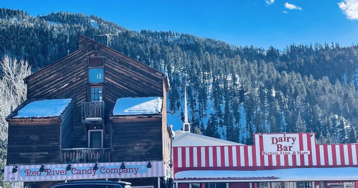
This 83-mile loop wraps around Wheeler Peak, New Mexico’s highest summit, and packs a little of everything into one afternoon. Starting in Taos, the road runs through Questa, Red River, Eagle Nest, and Angel Fire before circling home.
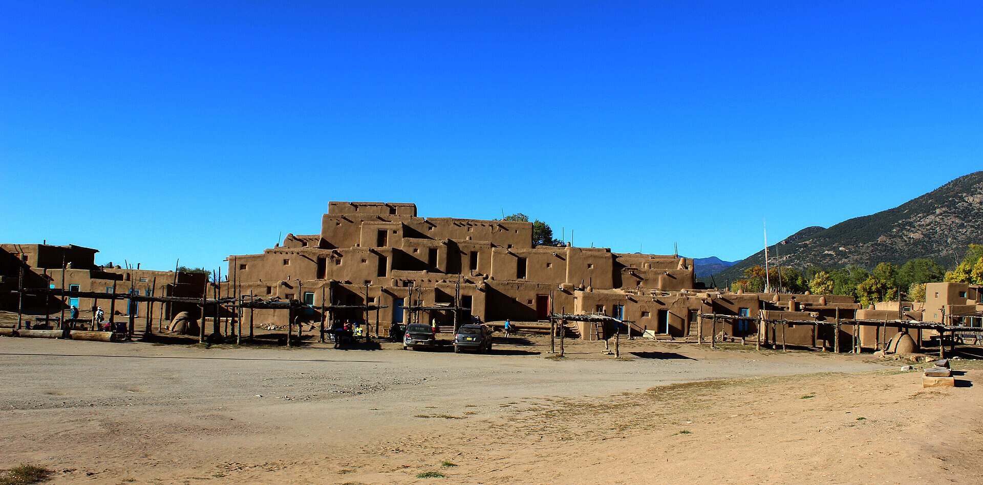
Taos itself is worth a morning. Taos Pueblo has been continuously inhabited for roughly a thousand years, its adobe walls glowing warm against the mountains. Beyond town, alpine meadows and mountain lakes stack up fast.
Come in autumn and the aspens set the slopes ablaze in gold. Any season, the mountain air and the low adobe skyline make this one linger in memory.
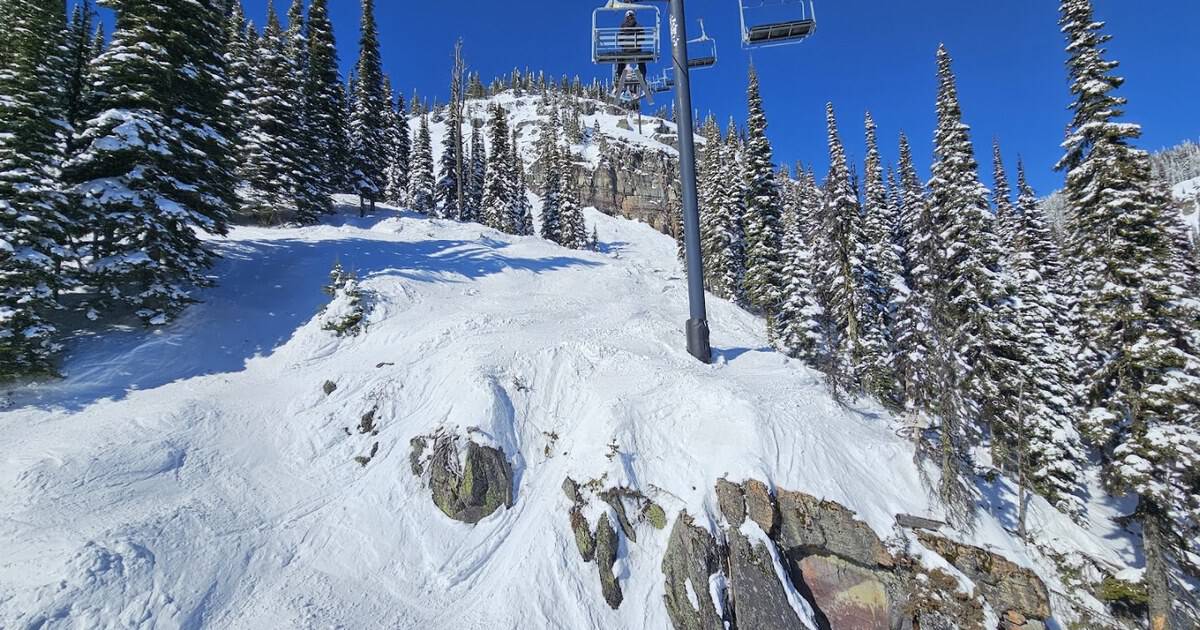
Red River and Angel Fire draw skiers in winter and hikers all summer, while Eagle Nest Lake shines like a mirror in the high valley. Stop for green chile stew somewhere along the way; it tastes better this far up.
Where: The Enchanted Circle Scenic Byway loops from Taos, New Mexico, on US 64, State Road 38, and State Road 522.
8. Monument Valley, Arizona
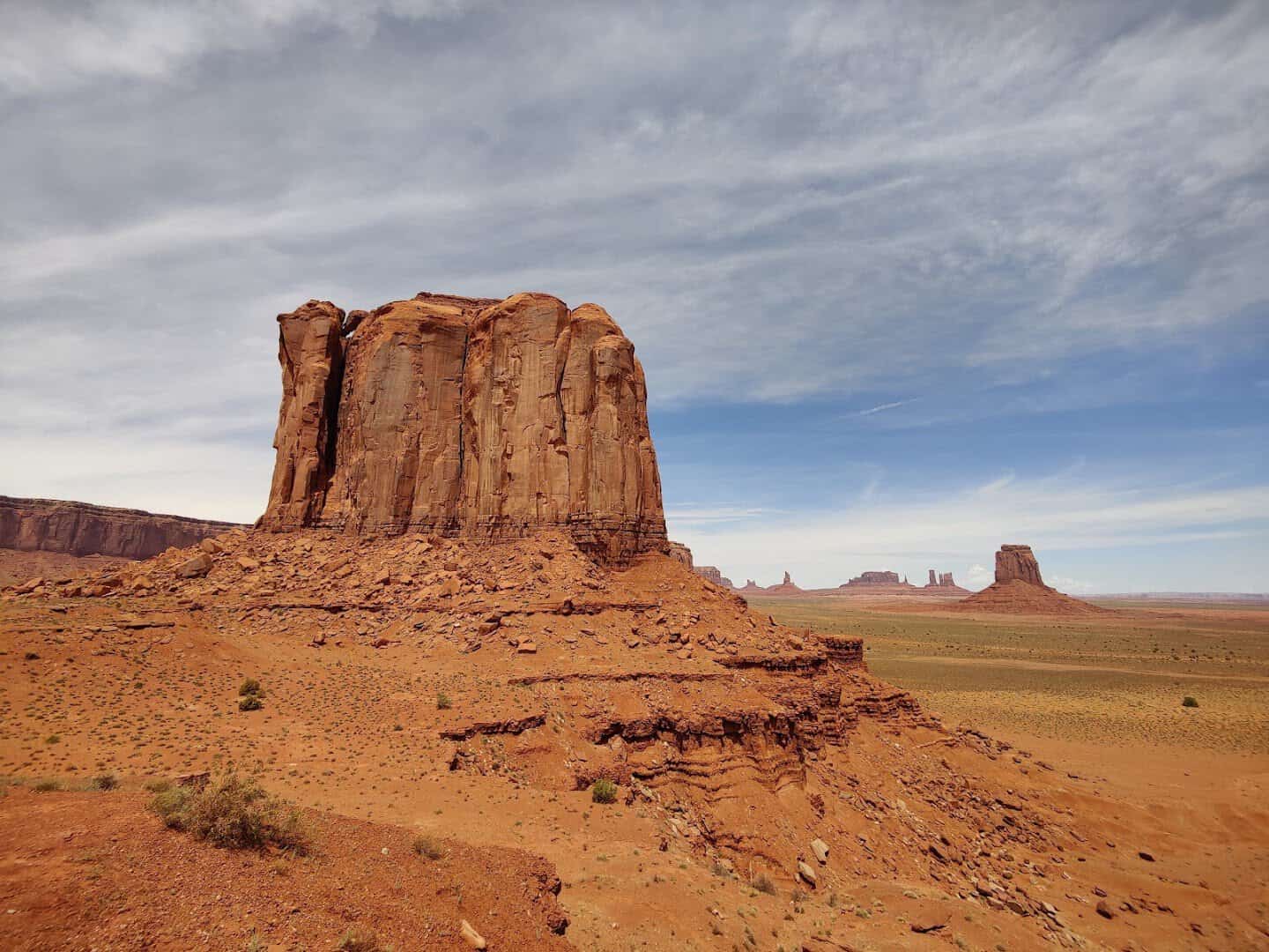
You have seen this place a hundred times without knowing its name, because Hollywood has been filming here since John Ford pointed a camera at it in 1939. The great sandstone buttes rise straight off the desert floor along US 163.
The Navajo Nation manages the tribal park, and a 17-mile dirt loop takes you in among the mittens and spires. Even from the highway, the view at Forrest Gump Point stops traffic for a reason.
Sunrise and sunset are the golden hours here, when the red rock deepens and long shadows stretch across the valley floor.
A Navajo guide can take you deeper into the park than the self-drive loop allows, to arches and hogans most visitors never see. Their stories turn the buttes from pretty scenery into a living homeland with names and meaning.
Where: Monument Valley Navajo Tribal Park sits on US 163 at Oljato-Monument Valley, Arizona, near the Utah line.
9. White Sands to Carlsbad Caverns, New Mexico
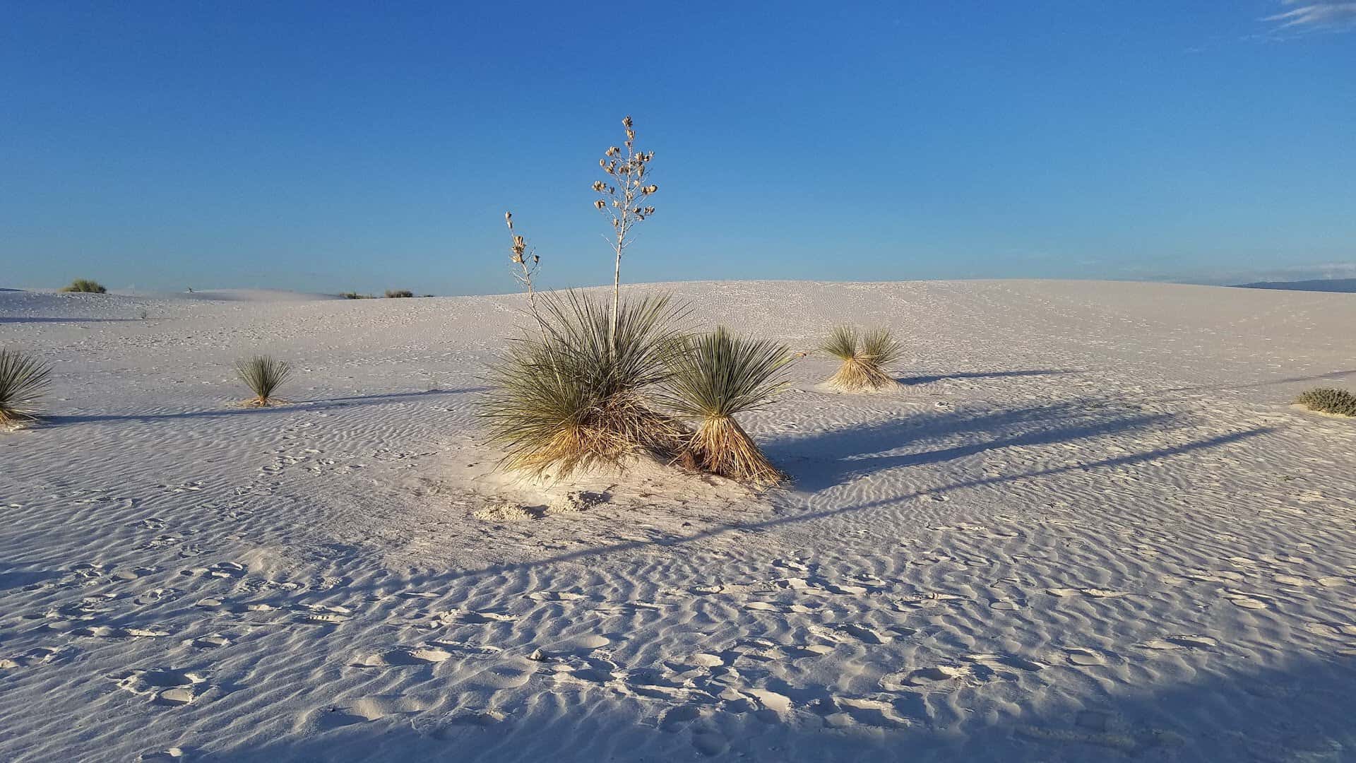
This southern New Mexico run trades one wonder for another about 200 miles apart. White Sands became a national park in 2019, and its gypsum dunes ripple to the horizon in blinding, powder-soft white you can sled right down.
From Alamogordo, point the car east and south toward Carlsbad. Deep underground, the Big Room opens into one of the largest cave chambers on Earth, 750 feet below the desert, hung with stone draperies and towers.
On summer evenings, hundreds of thousands of bats pour out of the cavern mouth at dusk. It is a show worth timing your whole trip around.
Between the two, the wide-open highway rolls through pistachio orchards and past the town of Roswell if you loop north, so there is room for a little kitsch along the way. Bring a plastic saucer for the dunes; the white sand sleds just like snow.
Where: White Sands National Park sits near Alamogordo, New Mexico, off US 70; Carlsbad Caverns lies off US 62/180 near Whites City, New Mexico.
10. Historic Route 66, Arizona
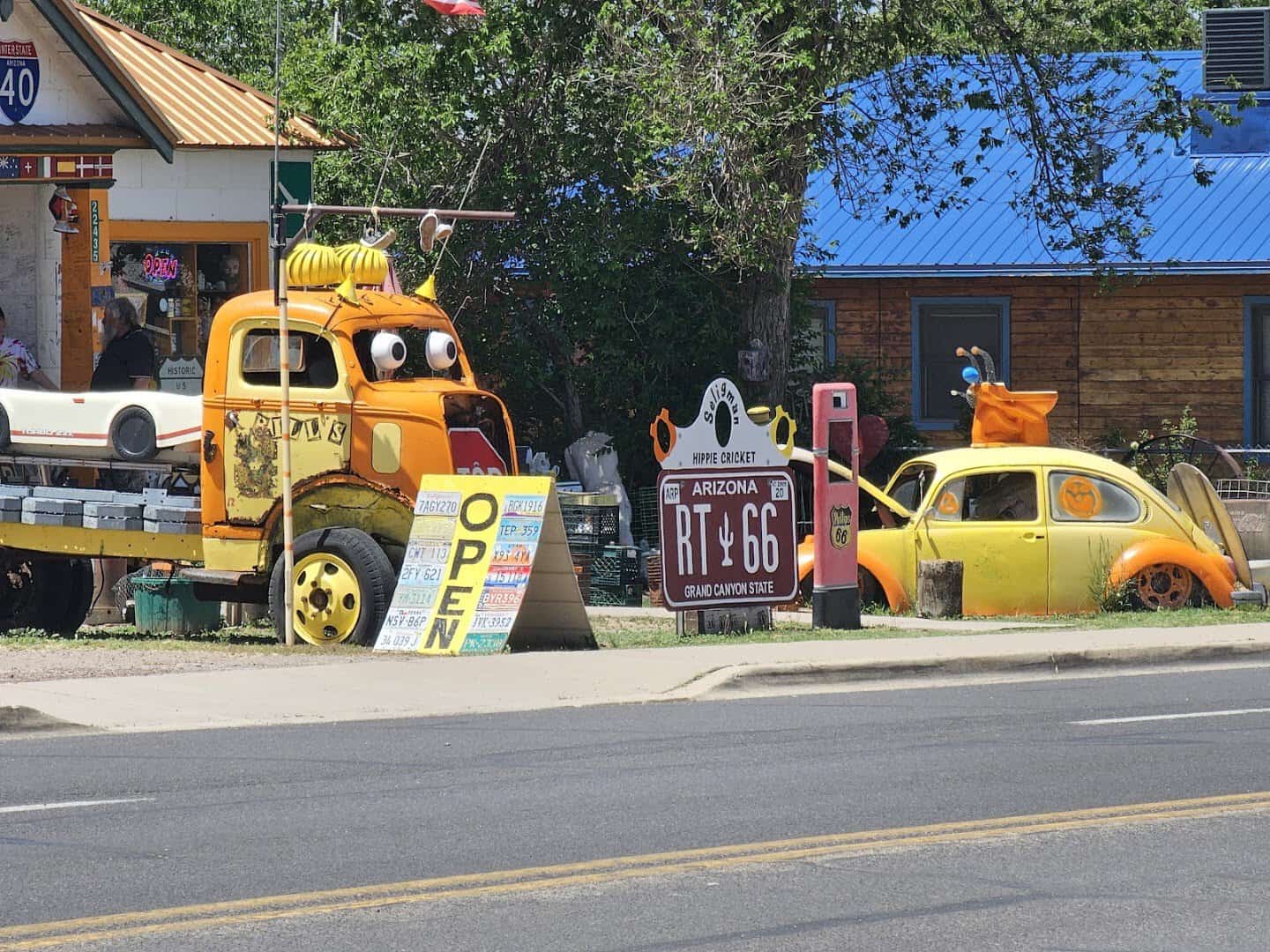
The longest unbroken stretch of the Mother Road still runs across northern Arizona, and it is a neon-lit trip back in time. Seligman is where it all restarted.
A local barber named Angel Delgadillo led the fight to save the route, and the town brims with vintage signs and roadside kitsch. His barbershop still stands on Main Street.
Roll west through Hackberry’s old general store, then down to Oatman, a former mining town where wild burros amble right down Main Street looking for a snack.
Williams, the last Route 66 town bypassed by the interstate, makes a lively home base and doubles as the gateway to the Grand Canyon railway. Its main drag glows with restored neon after dark.
This is a drive to take slow, with a milkshake stop and a photo at every faded gas station. The whole point of the Mother Road was never the destination; it was the diners, the characters, and the open blacktop in between.
Where: Historic Route 66 runs through Seligman, Williams, and Oatman, Arizona, paralleling Interstate 40.
Pack the Cooler and Point West
The beauty of the Southwest is how close these drives sit to one another. String two or three together and a long weekend turns into the trip you talk about for years.
So pick your route, fill the tank, and cue up a playlist. The red rocks, the canyons, and the open road are all out there waiting, and they look even better with the windows down.
Featured image: Novobaczky Jozsef via Monument Valley

Stella Raines
Editor-in-Chief
Stella brings over a decade of storytelling experience to TX Headlines. With roots in West Texas and a love for road trips, she leads the editorial team with an eye for the hidden stories that make Texas unforgettable.